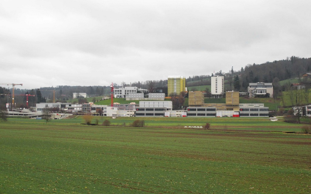
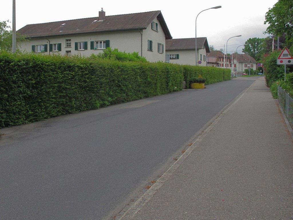
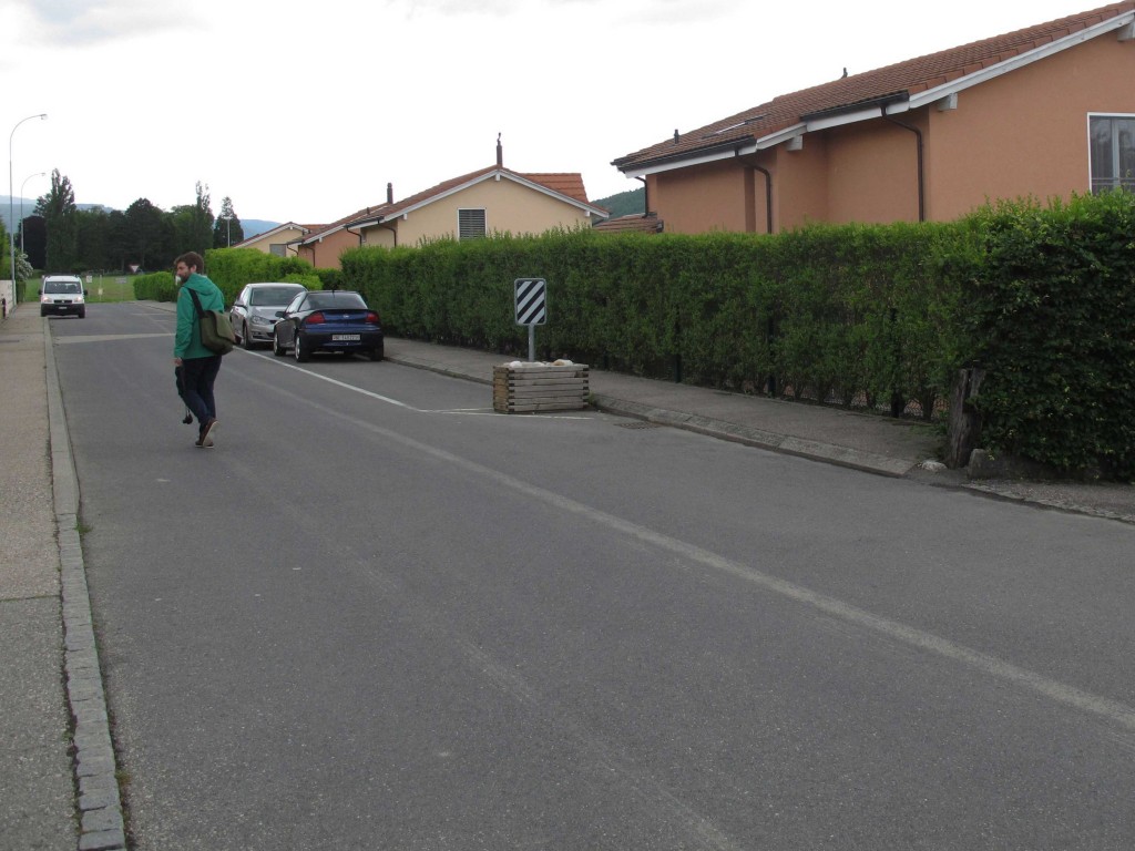
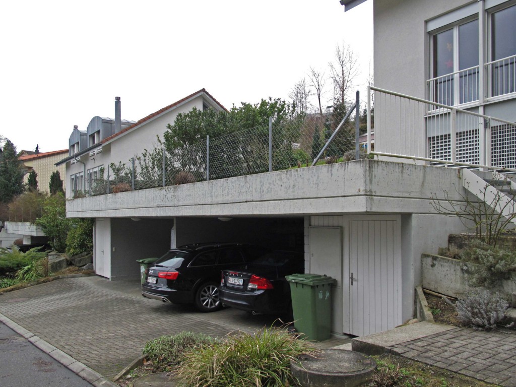
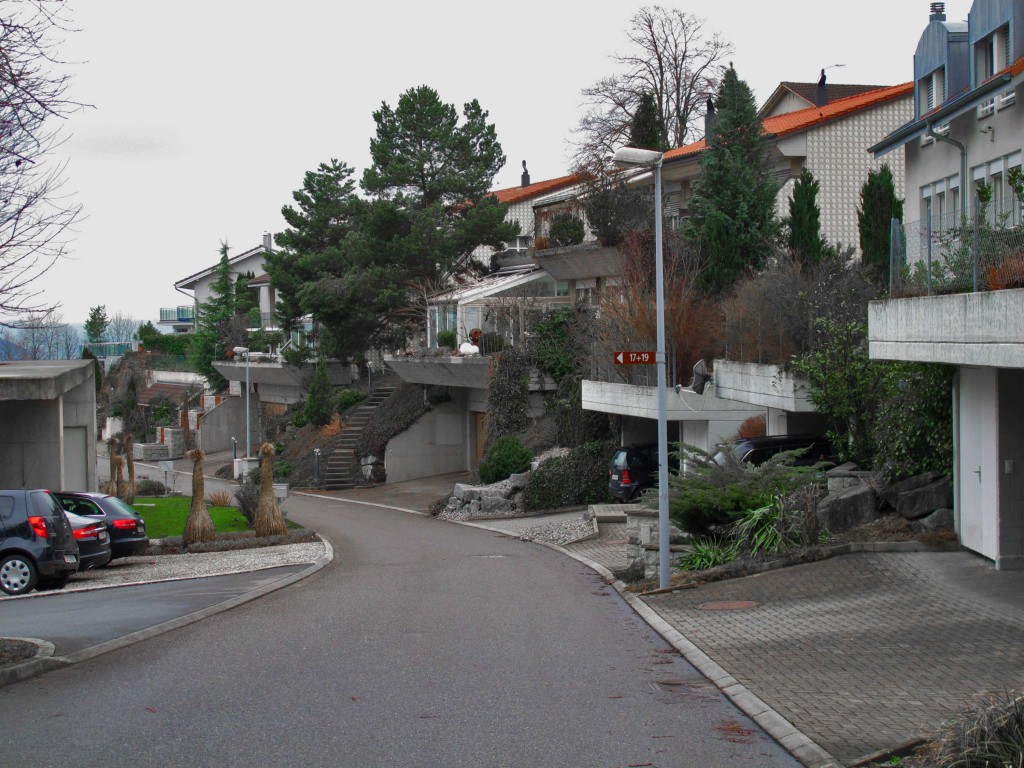
Switzerland is a rich and prosper country, situated in the hearth of Europe at the foot of the Alps. It has been a farm and agricultural country for ages and has know turned to be an urban country where it’s Midland is a continuous urbanization. Although this changes urban planning is lacking in it’s mission to create a legible and intelligible land.

MAPS

PRI-switzerland-map-TRAVELS
PRI-switzerland-map-TRAVELS thumbnail
PRI-switzerland-map-SPRAWL thumbnail
PRI-switzerland-map-CITIES thumbnail
PRI-switzerland-map-ROADS thumbnail
PRI-switzerland-map-PLATEAU thumbnail
PRI-switzerland-map-ORTHO thumbnail

LANDSCAPE

IMG_5503-SMALL
IMG_5503-SMALL thumbnail
IMG_6545-SMALL thumbnail
IMG_8086-SMALL thumbnail
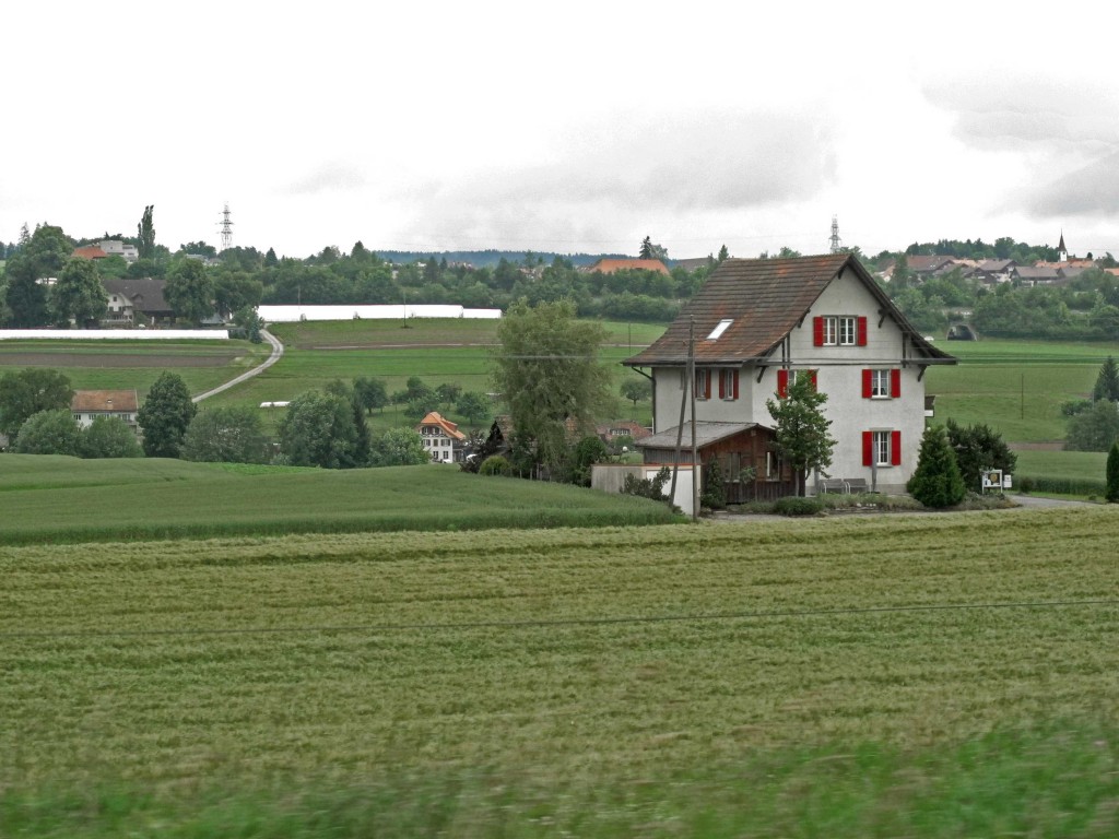
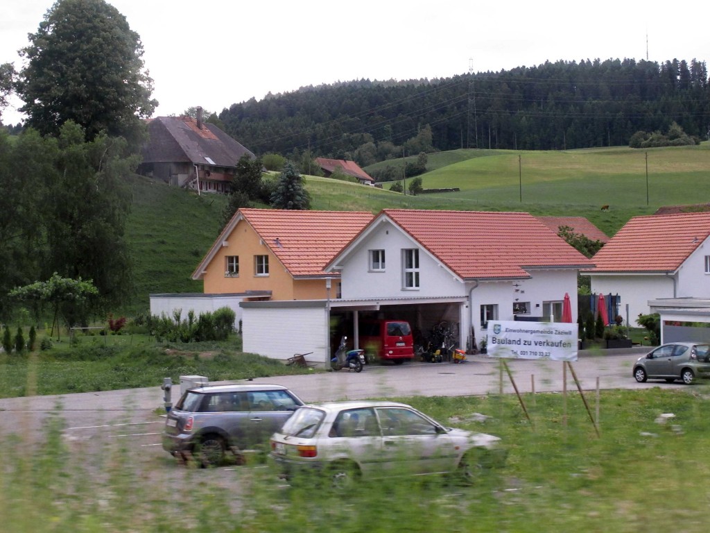
Swiss landscape is divided in three main regions, The Jura is a hilly and average altitude area, the plateau is the densest area and it is flat and slightly hilly. Agriculture and forest make it a very green zone where urbanization is more important every day. The third zone is the Alpine zone. This zone is of very low urbanization due to its topography.
Our research is focused on the plateau as it is the most built and sprawled zone. A wide range of vegetables and cereals are cultivated and stand next to small scale forest, giving an impression of a very green zone. This is of importance for the collective mental image of the country as it is perceived as an agricultural and green country and absolutely not as a built and infrastructured area.

DENSITY

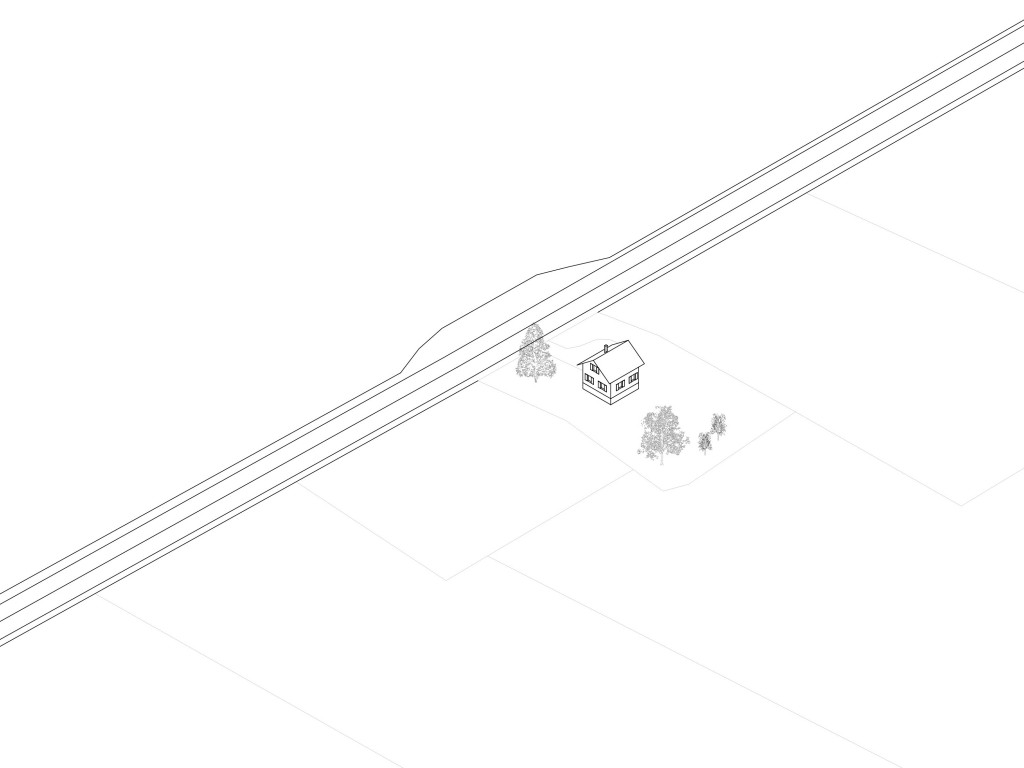
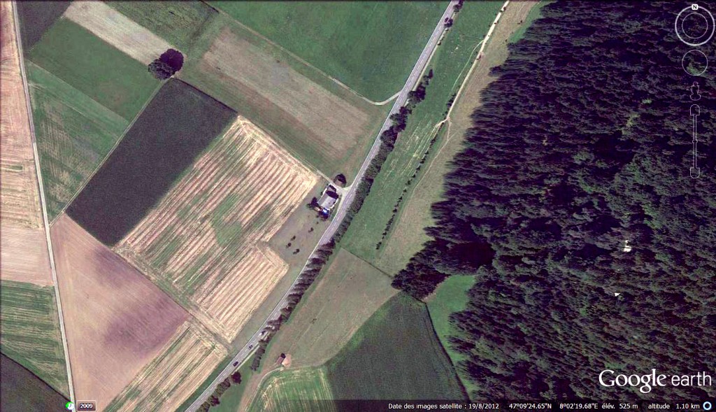
B-07-1-A-single-house-in-the-fields

A single house in the fields.

B-07-1-A-single-house-in-the-fields thumbnail
B-07-2-A-low-density-group-of-villas thumbnail
B-07-3-A-renovated-farm-cluster-adjacent-to-the-road thumbnail
B-07-4-Cluster-of-agricultural-buildings thumbnail
B-07-5-Other-form-of-a-dense-village thumbnail
B-07-6-Does-density-brings-quality thumbnail
B-07-7-First-generation-suburban-buildings. thumbnail
B-07-8-It-is-possible-to-mix-density-and-nature thumbnail
B-07-9-Densification-without-city thumbnail
The built density makes a connection between the built mass and the space in which it is located. The built density can be numeric or perceived, it is both a qualitative and quantitative stake.

PUBLIC SPACE

B-12-1-Is-the-parking-slot-the-last-shared-space

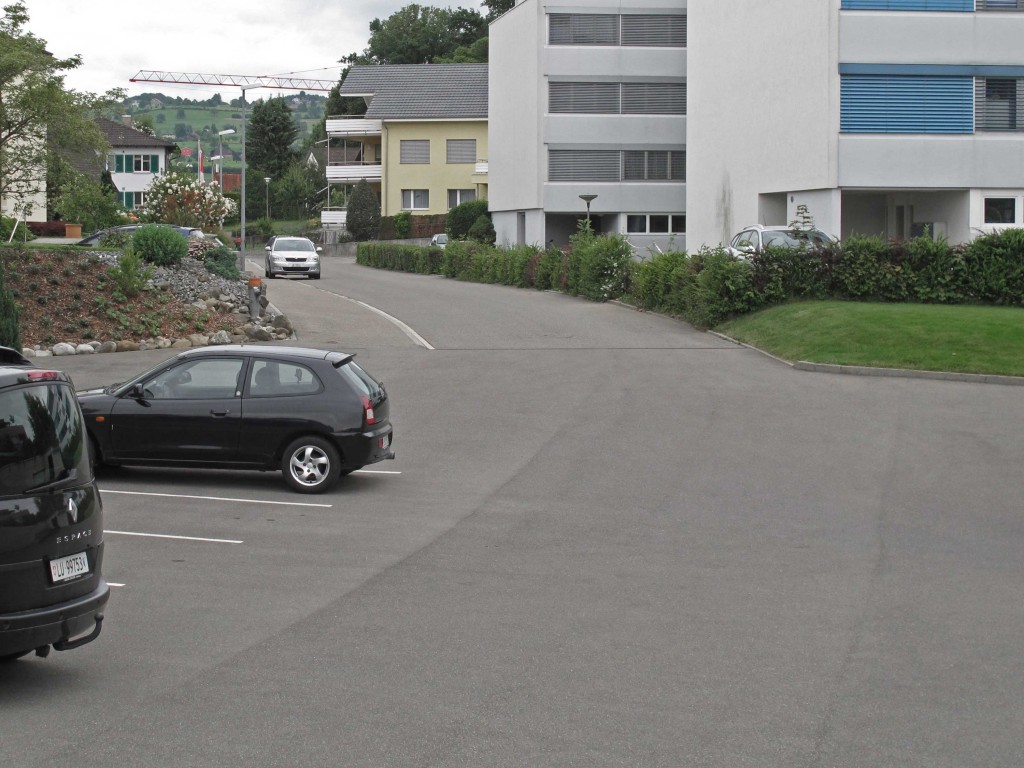
Is the parking slot the last shared space?

B-12-1-Is-the-parking-slot-the-last-shared-space thumbnail
B-12-2-Public-transport-infrastructure-as-a-meeting-point thumbnail
B-12-3-Fenced-collective-playground thumbnail
B-12-4-Public-space-is-an-attractor-for-commercial-activities thumbnail
B-12-5-High-level-of-design-but-no-uses thumbnail
B-12-6-Informal-public-space thumbnail
B-12-7-Shared-garden thumbnail
B-12-8-The-street-as-a-public-space thumbnail
B-12-9-Suburban-landscape-architecture thumbnail
Public space is the space accessible to all social practice for individuals. It is also the space of the public sphere of the community, the space of the appearances and of togetherness.

STREETS

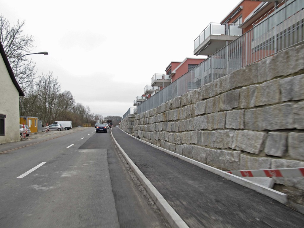
B-13-1-The-blind-street

The blind street.

B-13-1-The-blind-street thumbnail
B-13-2-Buildings-and-street-are-not-connected thumbnail
B-13-3-Is-the-street-an-empty-parking-space thumbnail
B-13-4-Green-street thumbnail
B-13-5-Suburban-commercial-street thumbnail
B-13-6-The-bike-lane-takes-over thumbnail
B-13-7-What-is-the-space-left-to-people thumbnail
B-13-8-Suburban-promenade thumbnail
B-13-9-Car-only-street thumbnail
The street is a circulation space which handles the various flows such as networks, people, and infrastructure linking the buildings to each other. The street can be separated into several lanes of traffic.

THRESHOLD

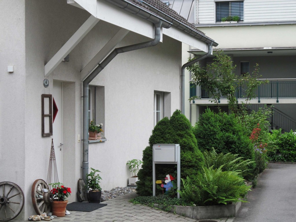
B-14-1-Constructed-public-private-line

Constructed public-private line.

B-14-1-Constructed-public-private-line thumbnail
B-14-2-Vertical-threshold thumbnail
B-14-3-Front-door-as-back-door thumbnail
B-14-4-Layers-from-private-to-public thumbnail
B-14-5-Commercial-threshold thumbnail
B-14-6-Green-semi-public-access-path thumbnail
B-14-7-Twin-path-to-single-family-houses thumbnail
B-14-8-Is-the-car-a-sculpture-in-the-garden thumbnail
B-14-9-Even-the-postman-is-not-allowed-in thumbnail
Small space that links between private space and public space. Sometimes called third space as it is between private and public, it allows a smooth transition between interiority and exteriority.

BUILDING LINE

B-15-1-Semi-private-multi-levels-building-line

Semi-private multi-levels building line.

B-15-1-Semi-private-multi-levels-building-line thumbnail
B-15-2-No-street-alignment thumbnail
B-15-3-Large-scattered-blocks-on-a-collective-ground thumbnail
B-15-4-Picturesque-village-like-settlement thumbnail
B-15-5-Multi-purposes-green-buffer thumbnail
B-15-6-Autistic-housing-units thumbnail
B-15-7-Landscape-is-the-monument-at-the-end-of-the-street thumbnail
B-15-8-Street-without-geometric-rules thumbnail
B-15-9-Overdesigned-infrastructure-facing-undesigned-urban-plan thumbnail
The building line is one of the main rules of urban design. The morphology resulting from compliance or non-alignment gives masses of built urban space character.

PUBLIC BUILDINGS

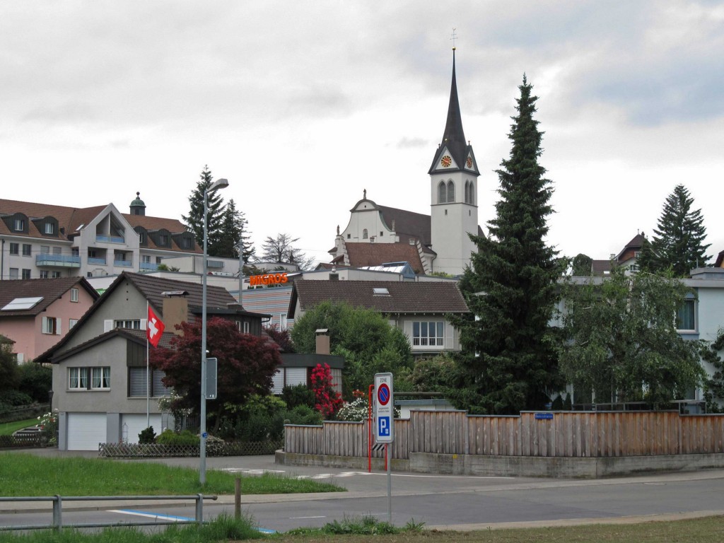
B-16-1-With-the-new-roads-the-church-is-not-the-centre-point-anymore

With the new roads, the church is not the centre point anymore.

B-16-1-With-the-new-roads-the-church-is-not-the-centre-point-anymore thumbnail
B-16-2-The-shape-of-a-house-for-commercial-uses thumbnail
B-16-3-A-public-roof-in-a-neighbourhood thumbnail
B-16-4-Is-the-public-building-acting-as-a-landmark thumbnail
B-16-5-What-makes-it-a-public-building thumbnail
B-16-6-A-village-restaurant-for-young-and-old thumbnail
B-16-7-Shine-bright-like-a-diamond thumbnail
B-16-8-Does-a-public-building-has-to-be-different thumbnail
B-16-9-Signs-of-public-activities-in-a-private-structure thumbnail
A public building is a construction – closed or not – built by and for a community. This is sometimes a landmark or a reference object known to all.

PRIVATE SPACE

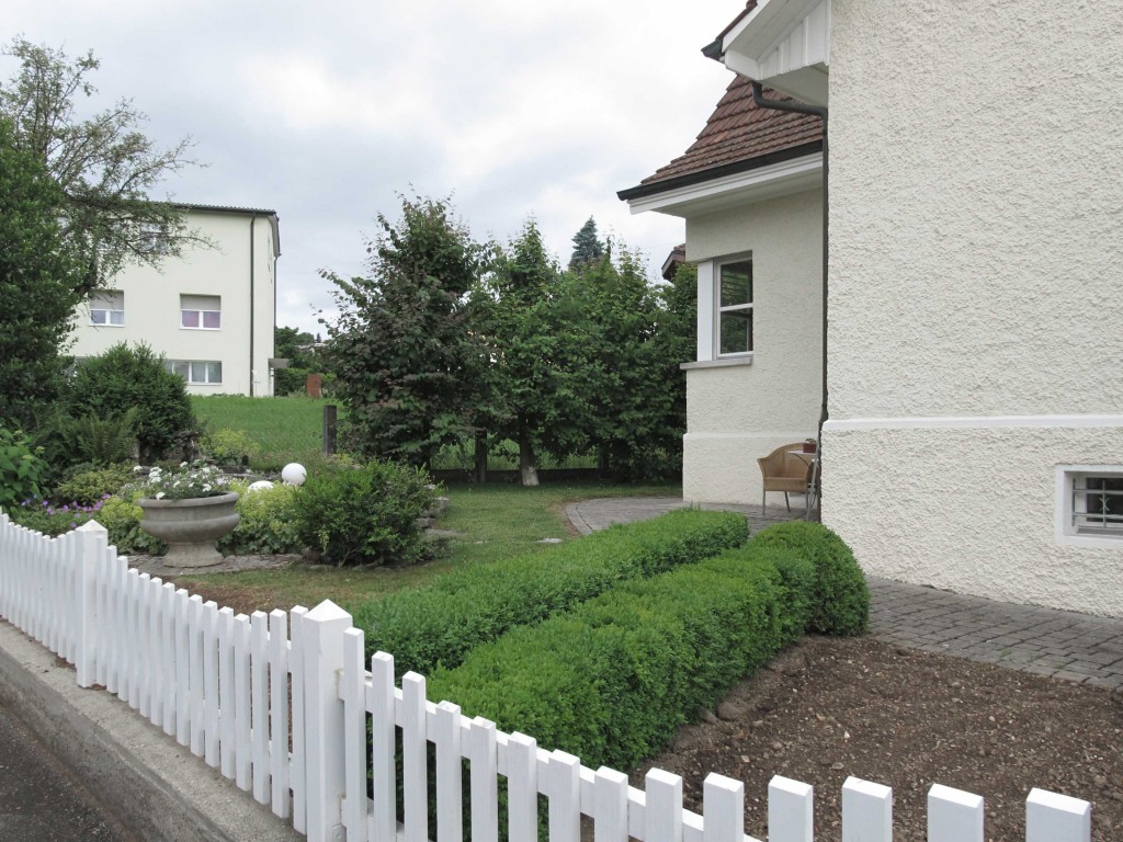
B-17-1-Overdesigned-external-space

Overdesigned external space.

B-17-1-Overdesigned-external-space thumbnail
B-17-2-The-door-is-a-showroom thumbnail
B-17-3-My-front-is-your-back thumbnail
B-17-4-Private-jungle thumbnail
B-17-5-Behind-the-buttress thumbnail
B-17-6-Aseptic-private-lane thumbnail
B-17-7-Mini-garden thumbnail
B-17-8-Specific-activities-toward-the-street thumbnail
B-17-9-Green-island thumbnail
The private area is for a single user or a group of user. The boundaries are clearly marked and explicit. This space can be either inside or outside.

LIMITS

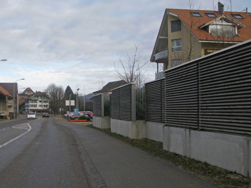
B-18-1-Acoustic-limit

Acoustic limit.

B-18-1-Acoustic-limit thumbnail
B-18-2-What-is-the-flexibility-left-to-this-space thumbnail
B-18-3-Through-a-limit-to-a-limit thumbnail
B-18-4-How-to-cross-to-the-neighbours thumbnail
B-18-5-The-bench-is-a-switch thumbnail
B-18-6-The-secret-garden thumbnail
B-18-7-House-overwhelmed-by-it-s-own-limits thumbnail
B-18-8-Green-barriers thumbnail
B-18-9.-Private-island thumbnail
Between two spaces in nature or different use is a limit. It can make the switch, transfer or the link between these different spaces. The limit can be materialized or not, explicit or not.

TYPES

150505-PS-axos-01-CH-detached-house
150505-PS-axos-01-CH-detached-house thumbnail
B-CH-01-SurseestrasseSchlagmatt thumbnail
B-CH-01-AuVillage thumbnail
B-CH-01-Hasel thumbnail
150505-PS-axos-02-CH-densified-farm-house thumbnail
B-CH-02-Amriswillerstrasse thumbnail
B-CH-02-Flachtalstrasse thumbnail
B-CH-02-Wauwillerstrasse thumbnail
150505-PS-axos-03-CH-terraced-house thumbnail
B-CH-03-KirchlindachHallen thumbnail
B-CH-03-RiedbruggmatteEttiswil thumbnail
B-CH-03-RueLouisGuillaumeMarin thumbnail
150505-PS-axos-04-CH-residential thumbnail
B-CH-04-Muensterstrasse thumbnail
B-CH-04-Seestrasse thumbnail
B-CH-04-Wiesweg thumbnail
150505-PS-axos-05-CH-collective thumbnail
B-CH-05-WahntalerstrasseHoeri thumbnail
B-CH-05-NeufeldstrasseWettingen thumbnail
B-CH-05-HaisihofEtiswil thumbnail
150505-PS-axos-06-CH-XL thumbnail
B-CH-06-Sursee thumbnail
B-CH-06-MarinEpagnier thumbnail
B-CH-06-Hochdorf thumbnail
B-CH-06-Etiswil thumbnail

DATAS

POPULATION 2010: 7’758’000
POPULATION 1990: 6’712’000
POPULATION 1970: 6’181’000
POPULATION 1950: 4’694’000

AVERAGE INCOME
UNEMPLOYMENT RATE 2.8% (2011 est.)

AVERAGE AGE 42 years
0-14 years: 15.2% (male 621,785/ female 586,205)
15-64 years: 67.6% (male 2,696,392/ female 2,665,191)
65 years and over: 17.1% (male 584,809/ female 771,135) (2012 est.)

AVERAGE SQM/HABITANTS
AVERAGE TIME TRAVEL TO WORK
URBANIZATION
urban population: 74% of total population (2010)
rate of urbanization: 0.5% annual rate of change (2010-15 est.)

NET IMMIGRATION RATE 1.27 migrant(s)/1,000 population (2012 est.)
EMIGRANTS

GDP PER CAPITA $44,500 (2011 est.)
agriculture (1.2%)
industry (27.5%)
services (71.3%)

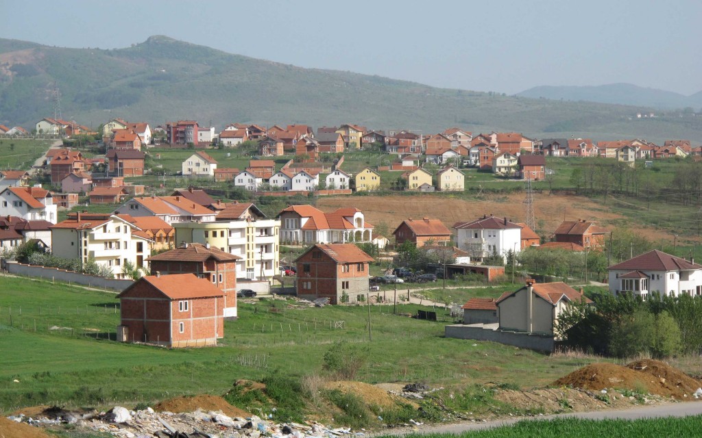
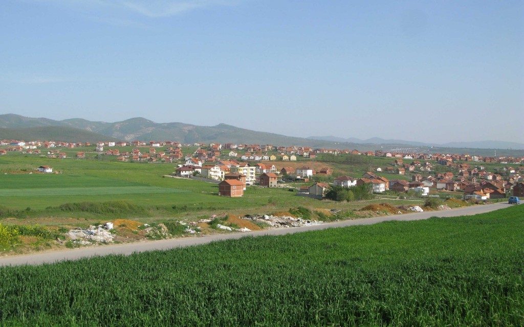
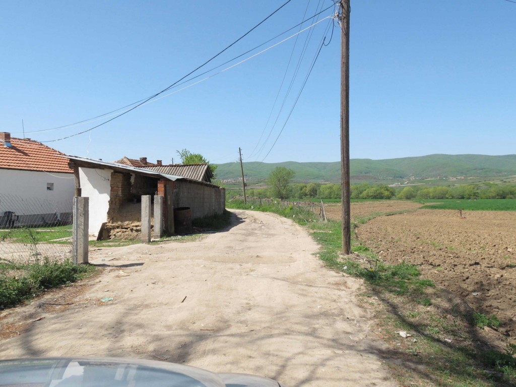
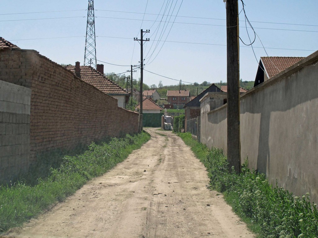
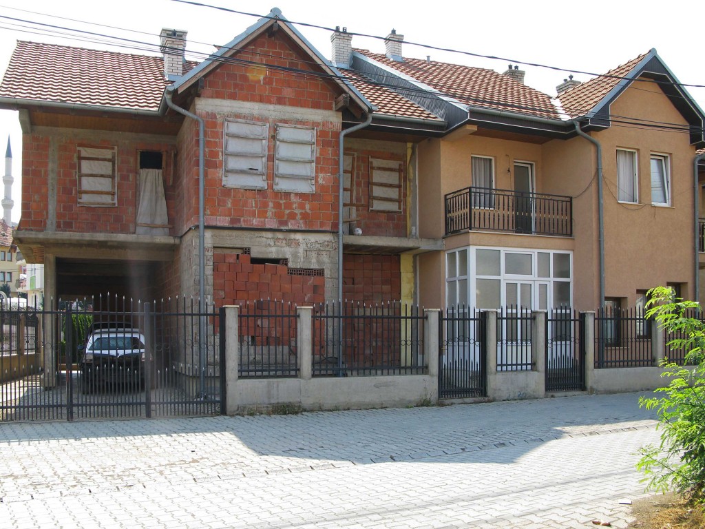
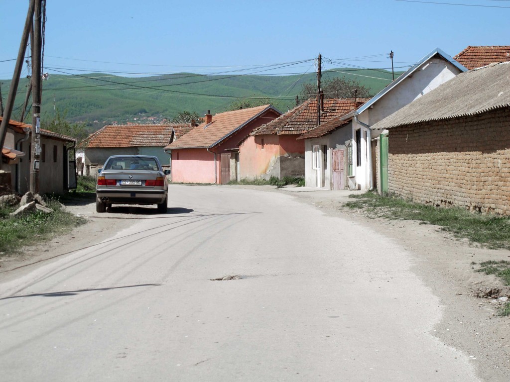
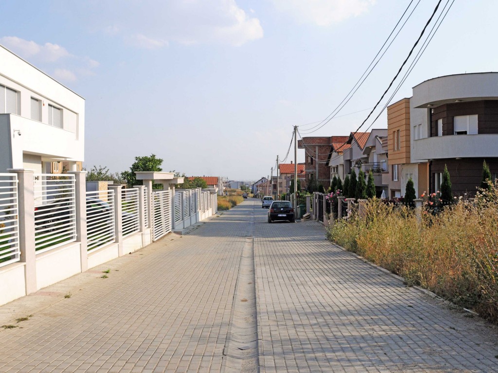
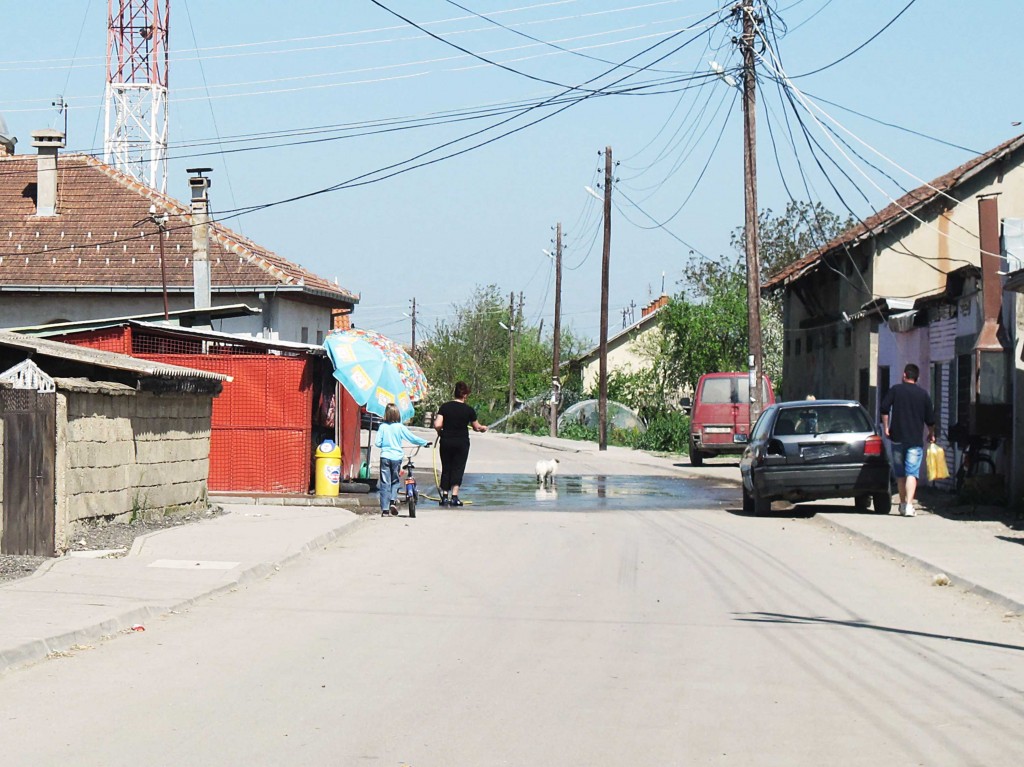
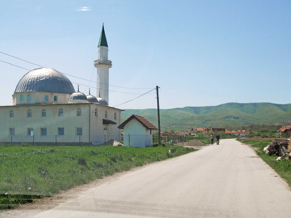
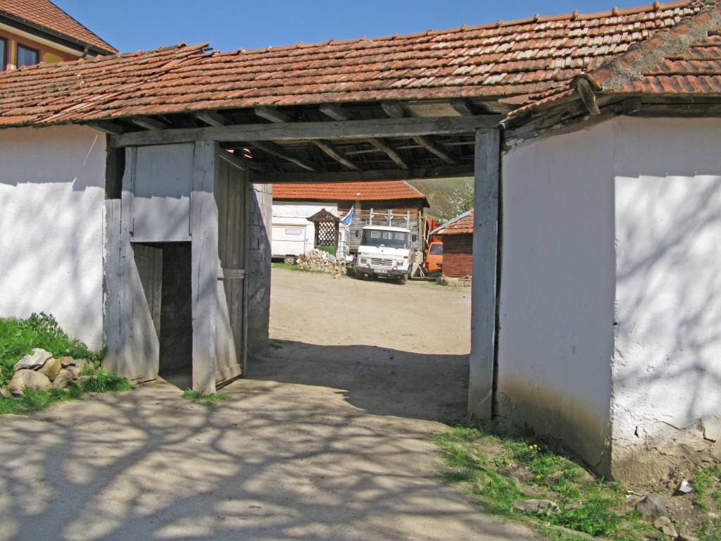
Kosovo is a newly created country, formerly part of Yougoslavia. Although not being a rich country it is an very fertile land formed by a Midland encircled by mid rise mountains. After communism and years of war and due to a lack of regulation the country looks nowadays like a continuous urbanization with no properly legible and intelligible structure.

MAPS

PRI-kosovo-map-TRAVELS
PRI-kosovo-map-TRAVELS thumbnail
PRI-kosovo-map-SPRAWL thumbnail
PRI-kosovo-map-CITIES thumbnail
PRI-kosovo-map-ROADS thumbnail
PRI-kosovo-map-PLATEAU thumbnail
PRI-kosovo-map-ORTHO thumbnail

LANDSCAPE

IMG_7853-SMALL
IMG_7853-SMALL thumbnail
IMG_5107-SMALL thumbnail
IMG_7762-SMALL thumbnail
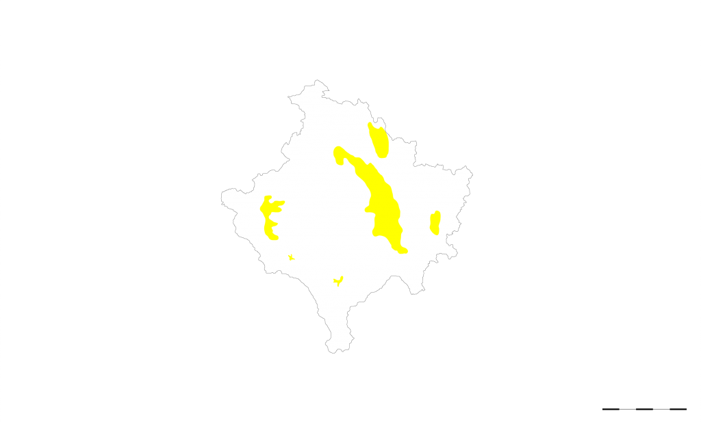
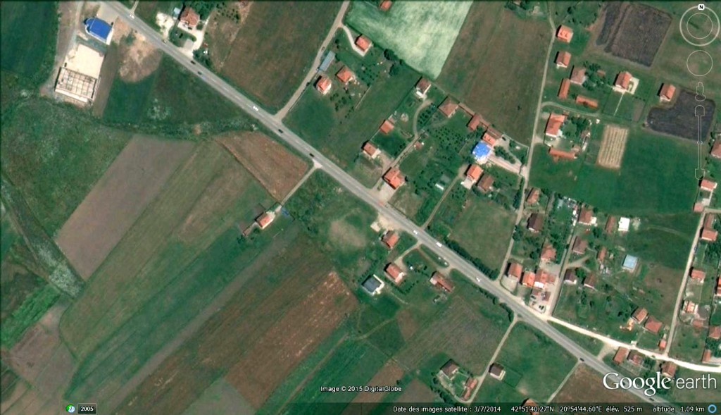
The country has the shape of a square set up on one of its angle. The borders are formed by natural limits like mountains on the south-east and hills on north-west. The country is composed of two main plateau, one green an hilly serving for agriculture that includes Prizren and Peja and one lower, flat an mainly commercial that includes Prishtina. At the center of the country is a small hill. Countryside is extremely fertile. Mainly Crops and wheat is cultivated. Average plots are of a very small scale, long of around 300m and wide of only an average of 25m.

DENSITY

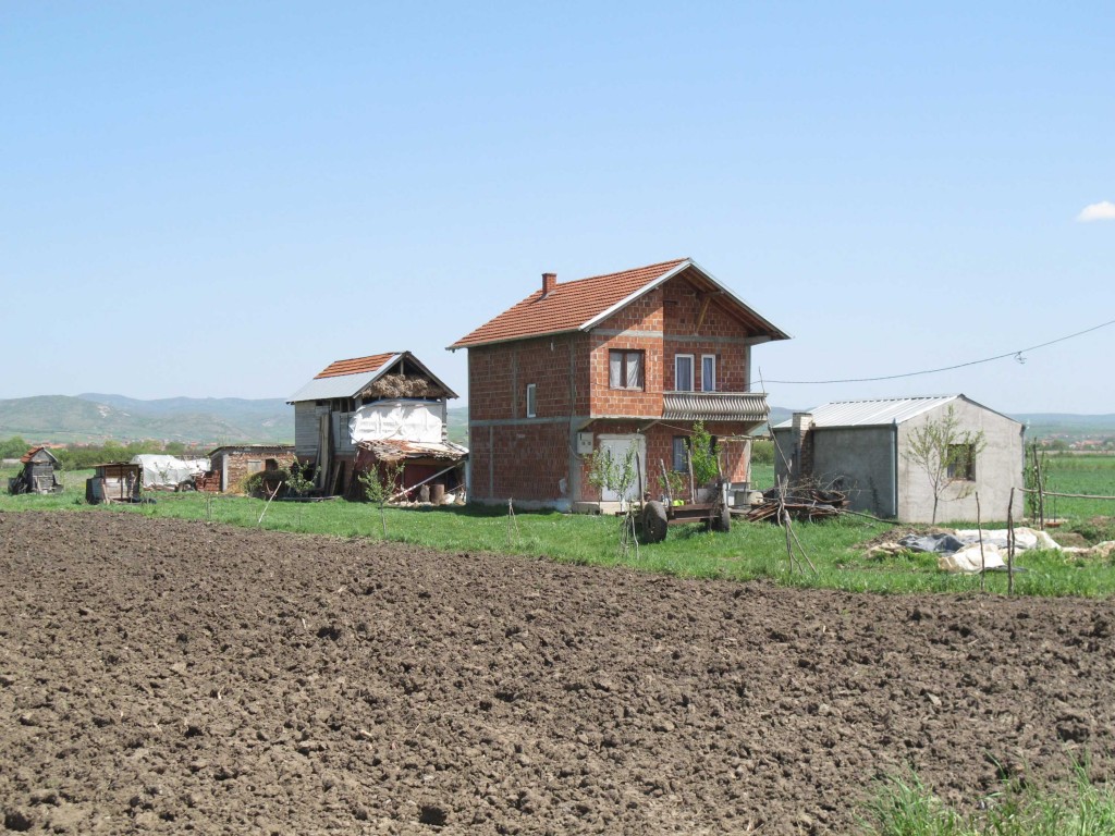
B-22-1-A-single-house-in-the-fields

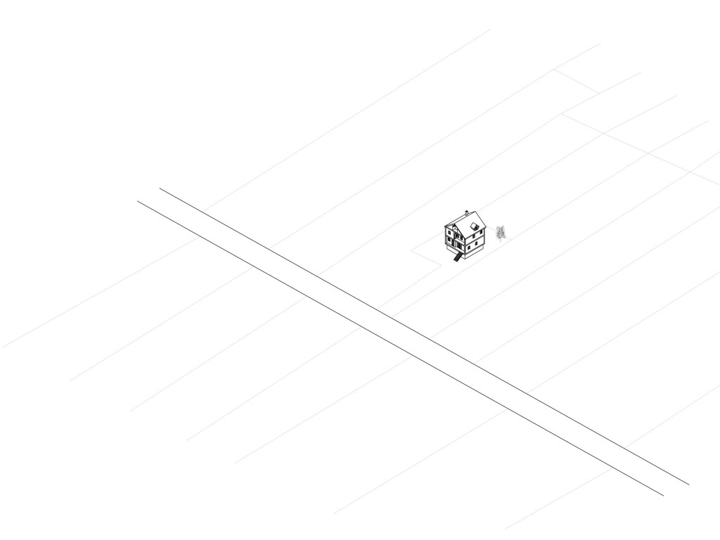
A single house in the fields.

B-22-1-A-single-house-in-the-fields thumbnail
B-22-2-Evolving-house thumbnail
B-22-3-Family-densified-plot thumbnail
B-22-4-Multistorey-densification thumbnail
B-22-5-Four-brothers thumbnail
B-22-6-Density-by-family-growth thumbnail
B-22-7-Traditional-low-rise-high-density thumbnail
B-22-8-What-is-the-limit-of-density thumbnail
B-22-9-To-be-densified--urbanism thumbnail
The built density makes a connection between the built mass and the space in which it is located. The built density can be numeric or perceived, it is both a qualitative and quantitative stake.

PUBLIC SPACE

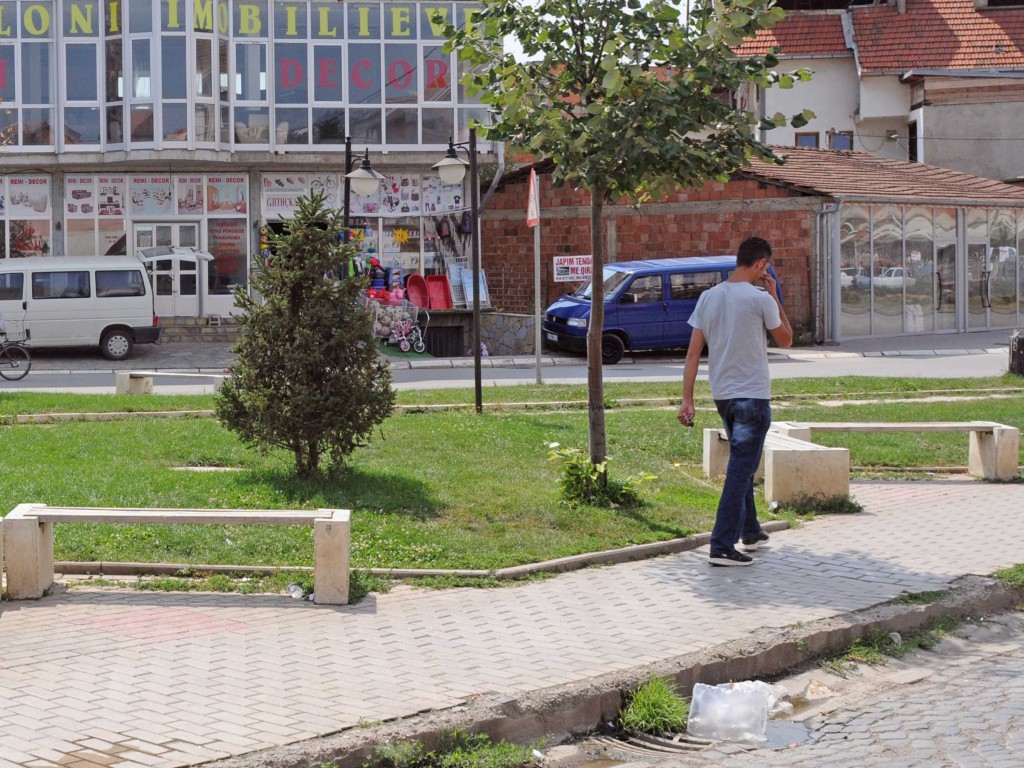
The road and the public promenade.
B-27-1-The-road-and-the-public-promenade thumbnail
B-27-2-Is-the-public-square-a-landmark thumbnail
B-27-3-Abandoned-infrastructure-turned-into-a-public-space thumbnail
B-27-4-Programmatic-shifts thumbnail
B-27-5-Communication-infrastructure-as-a-meeting-point thumbnail
B-27-6-The-road-is-a-public-space thumbnail
B-27-7-The-void-as-a-platform-for-public-uses thumbnail
B-27-8-The-private-forecourt thumbnail
B-27-9-The-kiosk-is-a-meeting-point-for-public-affairs thumbnail
Public space is the space accessible to all social practice for individuals. It is also the space of the public sphere of the community, the space of the appearances and of togetherness.

STREETS

B-28-1-Agricultural-path

Agricultural path.

B-28-1-Agricultural-path thumbnail
B-28-2-Traditional-walled-street thumbnail
B-28-3-Donkey-path--urbanism thumbnail
B-28-4-Suburban-road thumbnail
B-28-5-The-street-is-a-commercial-attractor thumbnail
B-28-6-The-street-allows-informal-uses thumbnail
B-28-7-Car-unfriendly-road-design thumbnail
B-28-8-Multi-lane-commercial-street thumbnail
B-28-9-Brutal-cut-leading-to-the-suburbs thumbnail
The street is a circulation space which handles the various flows such as networks, people, and infrastructure linking the buildings to each other. The street can be separated into several lanes of traffic.

THRESHOLD

B-29-1-Mineral-public-space

Mineral public space.

B-29-1-Mineral-public-space thumbnail
B-29-2-Blurred-limits-between-private-and-public thumbnail
B-29-3-Agricultural-garden thumbnail
B-29-4-Imposing-appearence-yard thumbnail
B-29-5-Fine-graduation-from-public-to-private thumbnail
B-29-6-No-visible-limit-between-public-and-private thumbnail
B-29-7-The-garage-as-a-Gate thumbnail
B-29-8-Tiny-entrance-in-a-blind-wall thumbnail
B-29-9-A-gate-to-pass-through thumbnail
Small space that links between private space and public space. Sometimes called third space as it is between private and public, it allows a smooth transition between interiority and exteriority.

BUILDING LINE

B-30-1-Aligned-blind-buildings

Aligned blind buildings.

B-30-1-Aligned-blind-buildings thumbnail
B-30-2-Buildings-adjacent-to-an-informal-shared-street thumbnail
B-30-3-Every-house-is-a-monument thumbnail
B-30-4-Unrelated-elements thumbnail
B-30-5-Buildings-are-not-turned-toward-the-street thumbnail
B-30-6--Copy-Paste--street-design. thumbnail
B-30-7-Activated-buffer-zone thumbnail
B-30-8-Disconnected-urban-elements thumbnail
B-30-9-Suburban-front-line thumbnail
The building line is one of the main rules of urban design. The morphology resulting from compliance or non-alignment gives masses of built urban space character.

PUBLIC BUILDINGS

B-31-1-Kiosk-taking-over-the-road.

Kiosk taking over the road.

B-31-1-Kiosk-taking-over-the-road. thumbnail
B-31-2-Landmark-out-of-the-village thumbnail
B-31-3-Car-owners-meeting-point thumbnail
B-31-4-Informal-public-transport-as-a-public-space thumbnail
B-31-5-The-public-building-as-a-house-of-the-village thumbnail
B-31-6-The-village-grocery-shop-is-a-public-infrastructure thumbnail
B-31-7-Traces-of-history thumbnail
B-31-8-What-makes-it-a-public-building thumbnail
B-31-9-Public-building-on-wheels thumbnail
A public building is a construction – closed or not – built by and for a community. This is sometimes a landmark or a reference object known to all.

PRIVATE SPACE

B-32-1-Inside-is-outside

Inside is outside.

B-32-1-Inside-is-outside thumbnail
B-32-2-Behind-the-gate thumbnail
B-32-3-Groomed-space thumbnail
B-32-4-Monumental-entrance thumbnail
B-32-5-Private-space-with-a-public-atmosphere. thumbnail
B-32-6-Imposing-appearance-space. thumbnail
B-32-7-Private-space-allowing-public-activities thumbnail
B-32-8-Little-Germany thumbnail
B-32-9-The-orchard-is-an-intimate-agricultural-land thumbnail
The private area is for a single user or a group of user. The boundaries are clearly marked and explicit. This space can be either inside or outside.

LIMITS

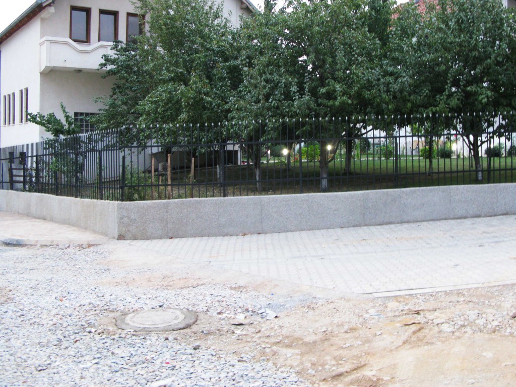
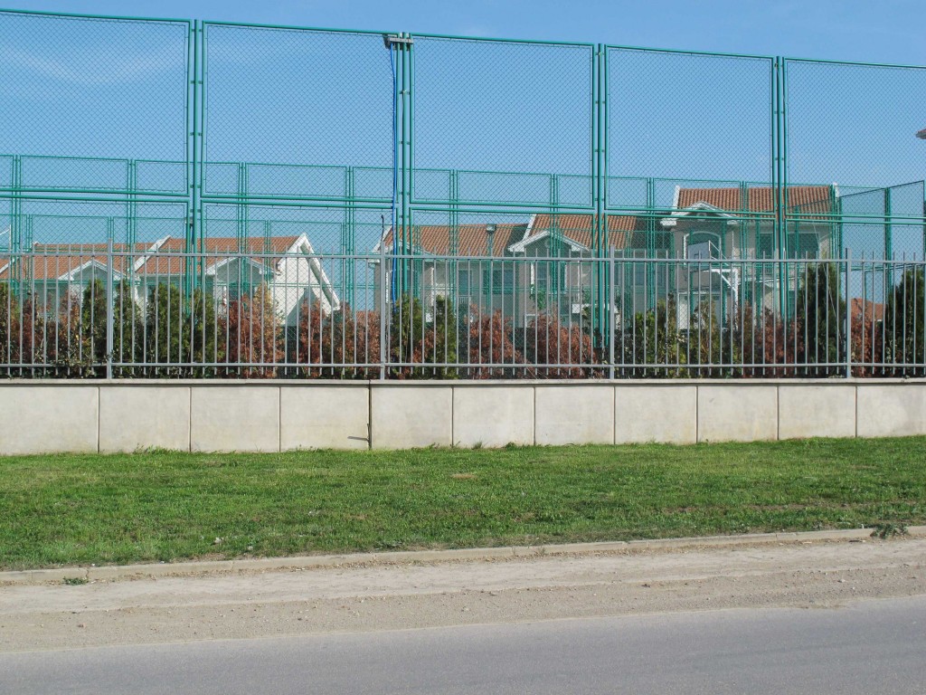
B-33-1-The-fence-as-a-symbol-of-wealth

The fence as a symbol of wealth.

B-33-1-The-fence-as-a-symbol-of-wealth thumbnail
B-33-2-American-village thumbnail
B-33-3-No-public-space,-life-happens-behind-the-wall thumbnail
B-33-4-Traditional-wall-separating-public-and-private-spheres thumbnail
B-33-5-Built---Unbuilt. thumbnail
B-33-6-A-shield-toward-the-world thumbnail
B-33-7-The-horizon-is-the-limit thumbnail
B-33-8-How-big-is-enough thumbnail
B-33-9-A-filigree-barrier-between-neighbours thumbnail
Between two spaces in nature or different use is a limit. It can make the switch, transfer or the link between these different spaces. The limit can be materialized or not, explicit or not.

TYPES

150505-PS-axos-01-KS-detached-house
150505-PS-axos-01-KS-detached-house thumbnail
B-KS-01-Kqic_i_Vogel thumbnail
B-KS-01-Dujarke thumbnail
B-KS-01-Ropice thumbnail
150505-PS-axos-02-KS-cluster thumbnail
B-KS-02-Babush_I_Muhaxhereve thumbnail
B-KS-02-Dalak thumbnail
B-KS-02-Kastriot thumbnail
150505-PS-axos-03-KS-brothers thumbnail
B-KS-03-Muhaxheve thumbnail
B-KS-03-Hatmaxhe thumbnail
B-KS-03-Llazareve thumbnail
150505-PS-axos-04-KS-fenced-house thumbnail
B-KS-04-Llugashi thumbnail
B-KS-04-Reznik thumbnail
B-KS-04-Decan thumbnail
150505-PS-axos-05-KS-residential thumbnail
B-KS-05-Quendresa thumbnail
B-KS-05-IntVillage thumbnail
B-KS-05-Marigona thumbnail
150505-PS-axos-06-KS-XL thumbnail
B-KS-06-Quendresa thumbnail
B-KS-06-Lipjan thumbnail
B-KS-06-FusheKosova thumbnail
B-KS-01-Maxhunaj thumbnail

DATAS

POPULATION 2010: 2’190’000
POPULATION 1990: 1’930’000
POPULATION 1970: 1’220’000
POPULATION 1950: 764’000

AVERAGE INCOME
UNEMPLOYMENT RATE 45.3% (2011 est.)

AVERAGE AGE 27.1 years
0-14 years: 26.9% (male 256,700/ female 236,975)
15-64 years: 66.3% (male 636,804/ female 581,729)
65 years and over: 6.8% (male 52,357/ female 71,964) (2012 est.)

AVERAGE SQM/HABITANTS
AVERAGE TIME TRAVEL TO WORK
URBANIZATION

NET IMMIGRATION RATE
EMIGRANTS

GDP PER CAPITA $6,500 (2011 est.)
agriculture: 12.9%
industry: 22.6%
services: 64.5%