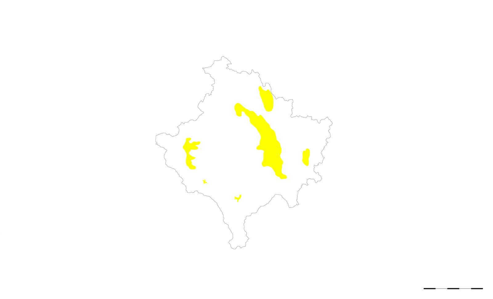
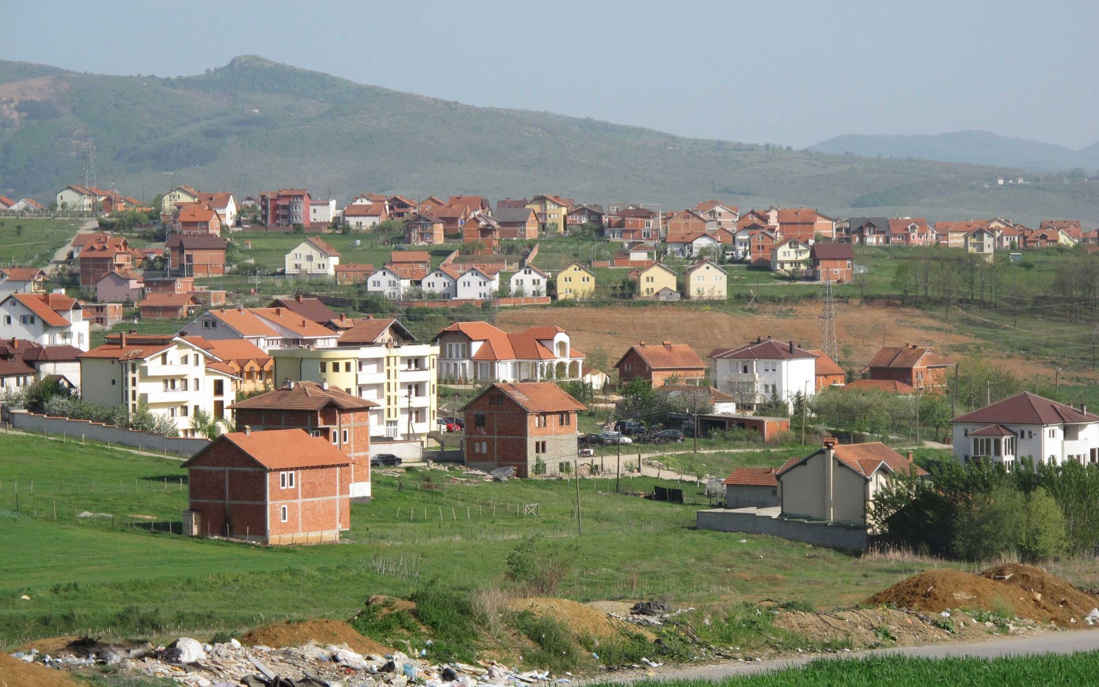
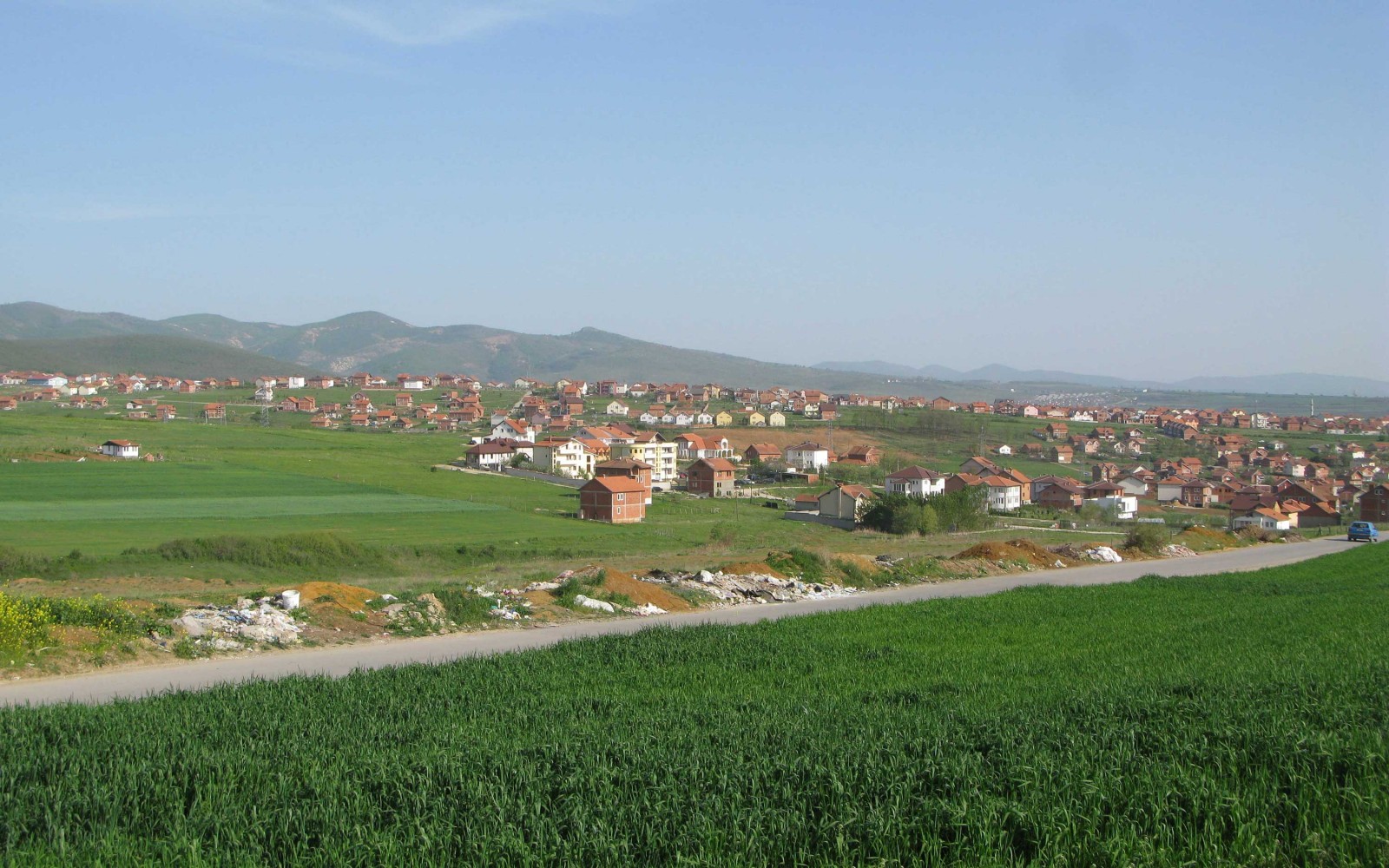
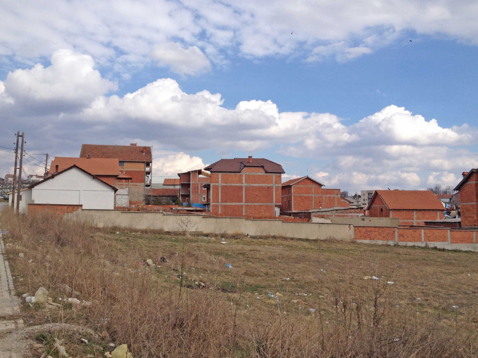
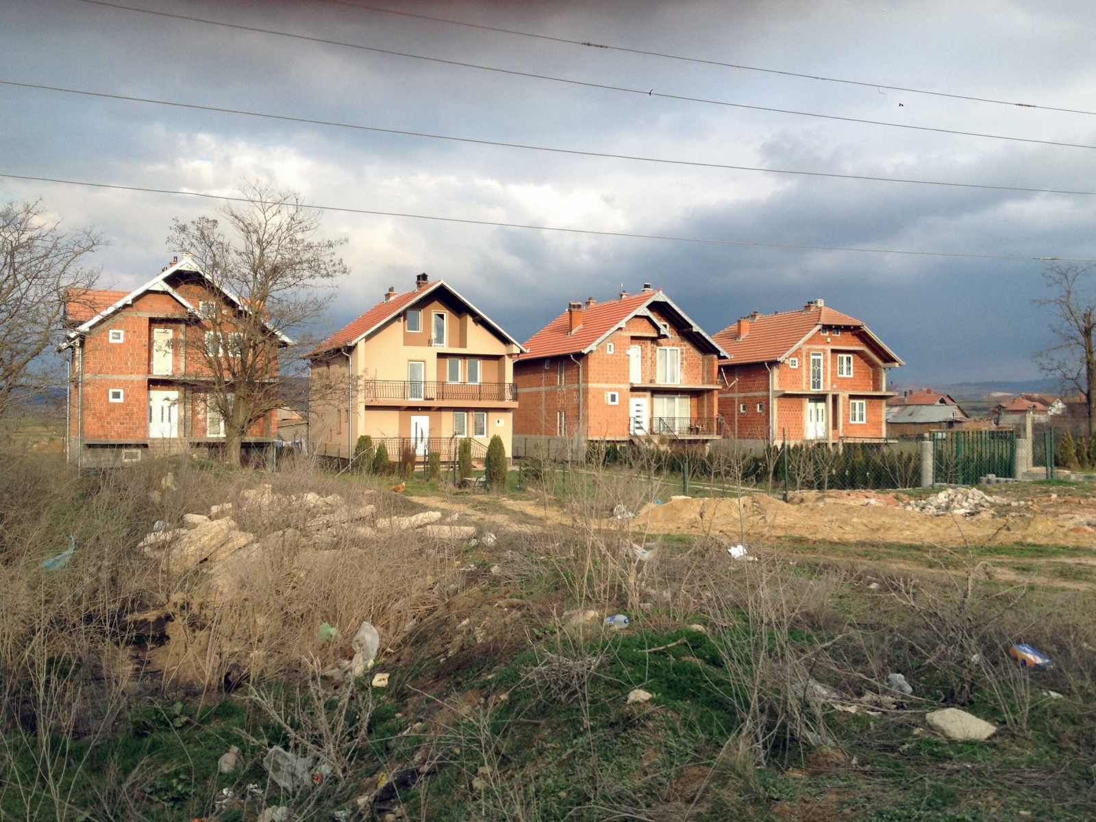
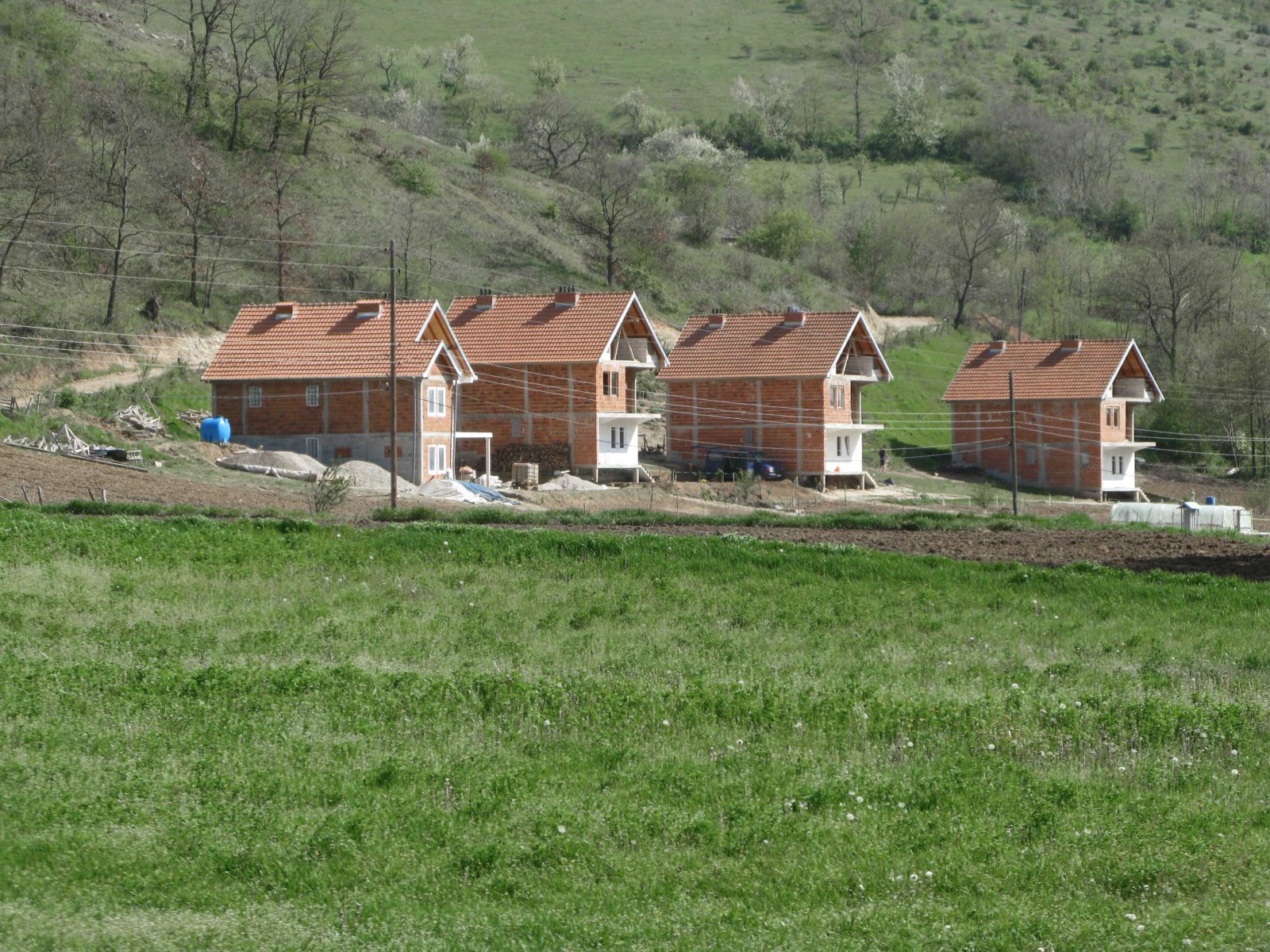
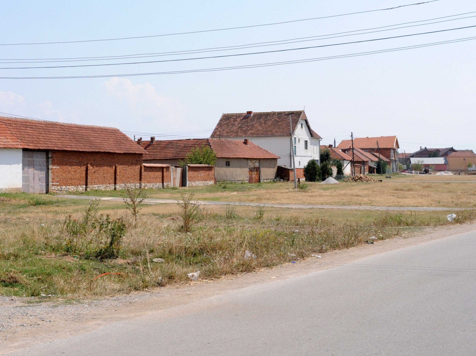
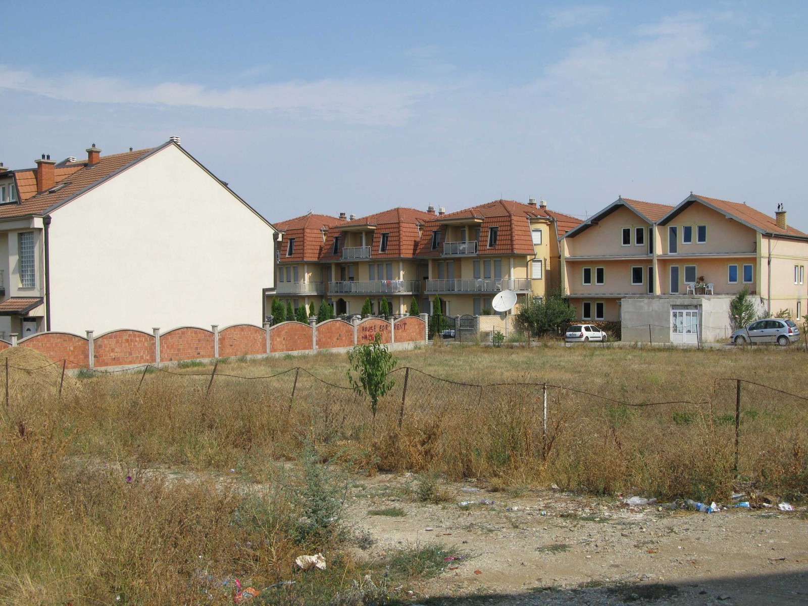
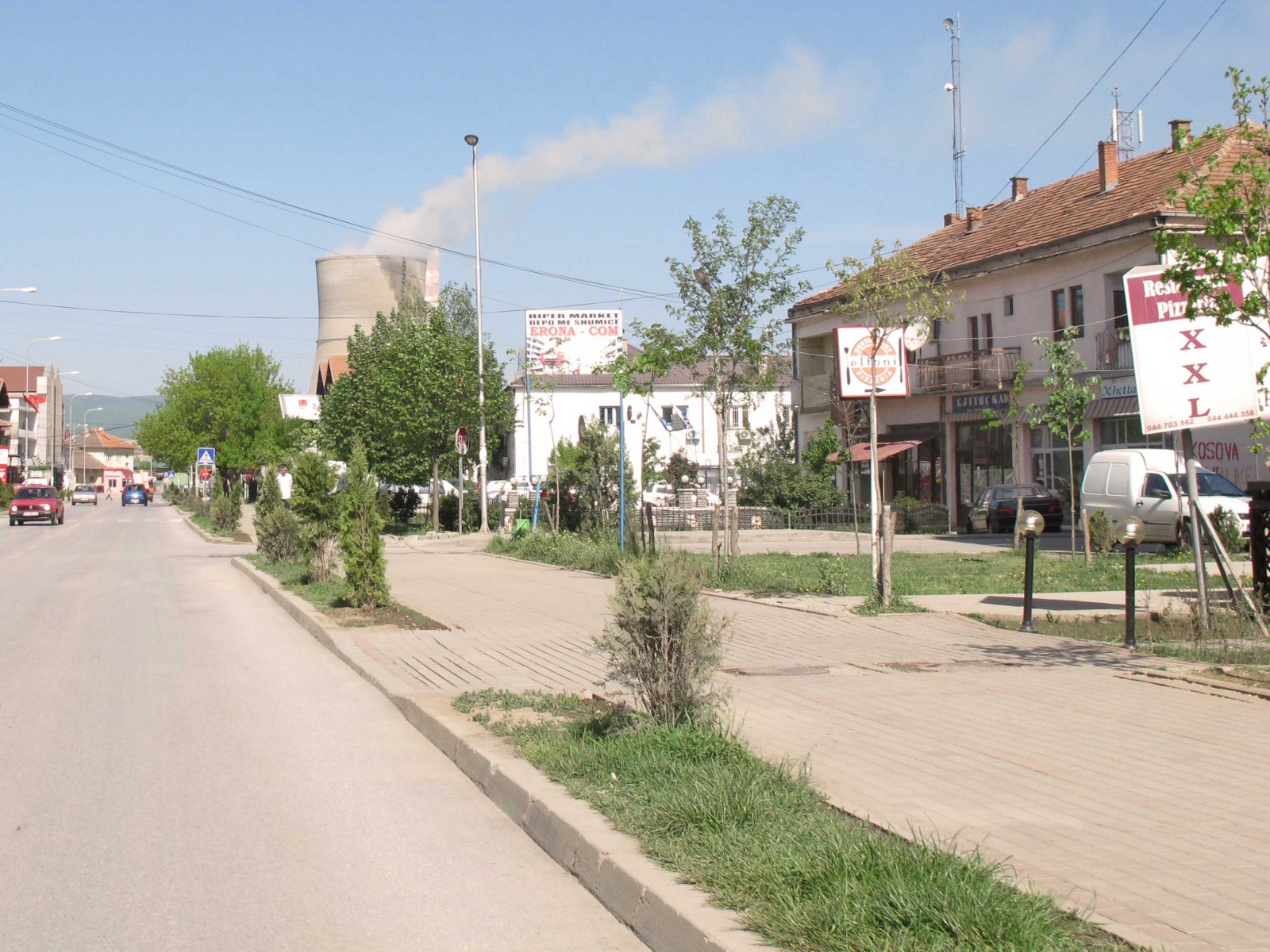
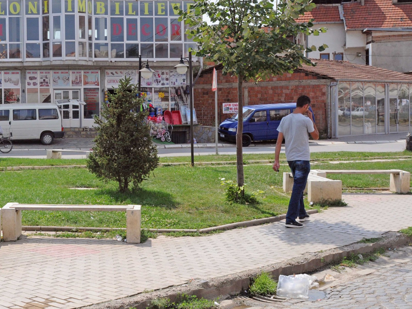
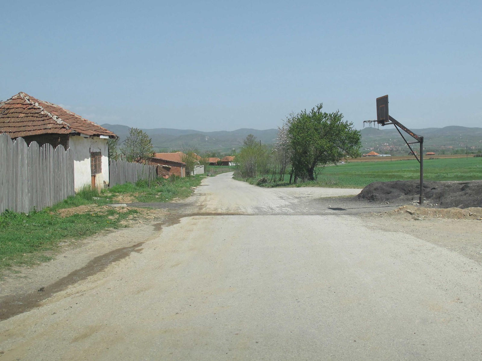
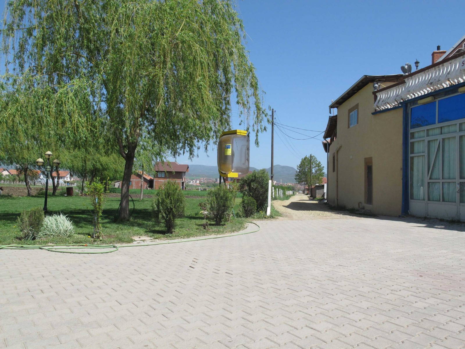
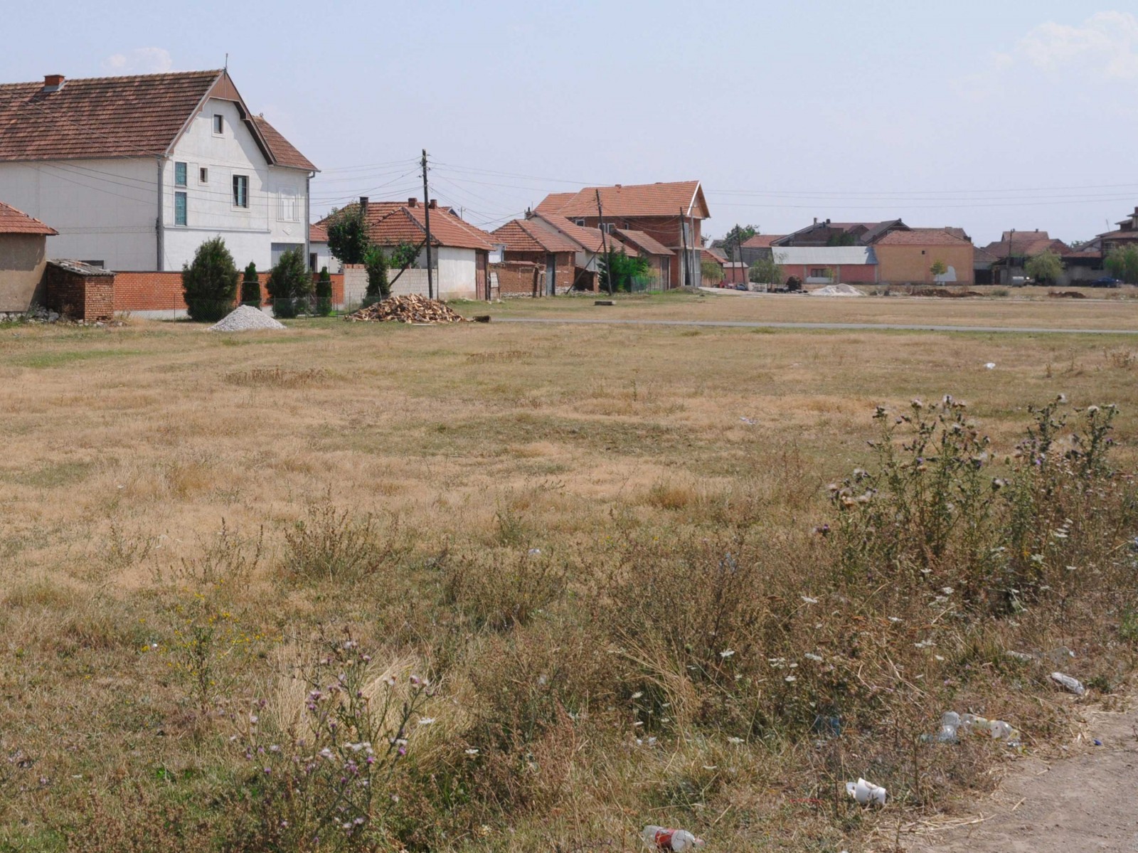
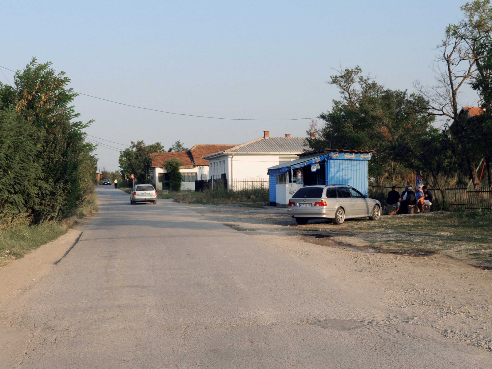
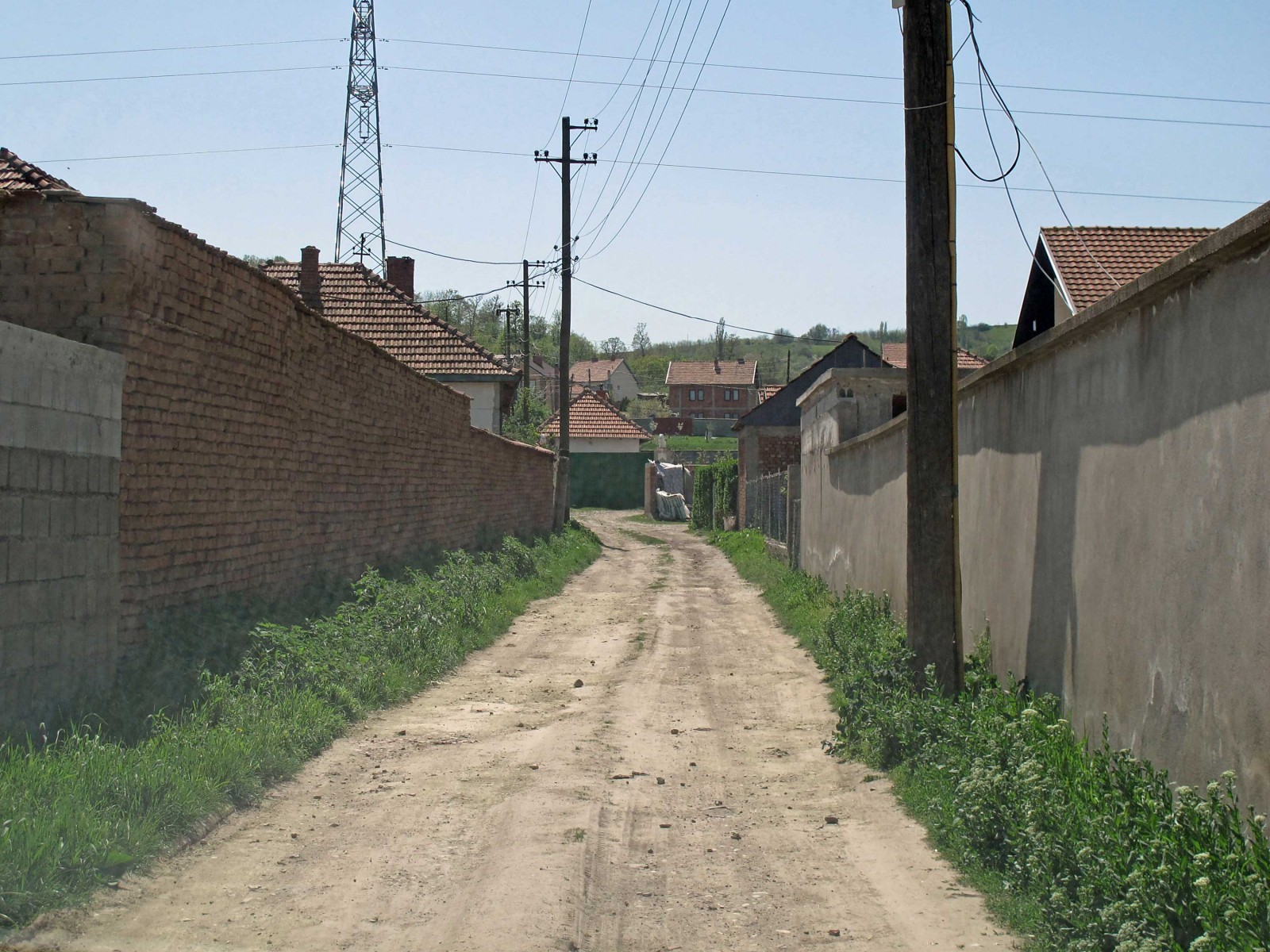
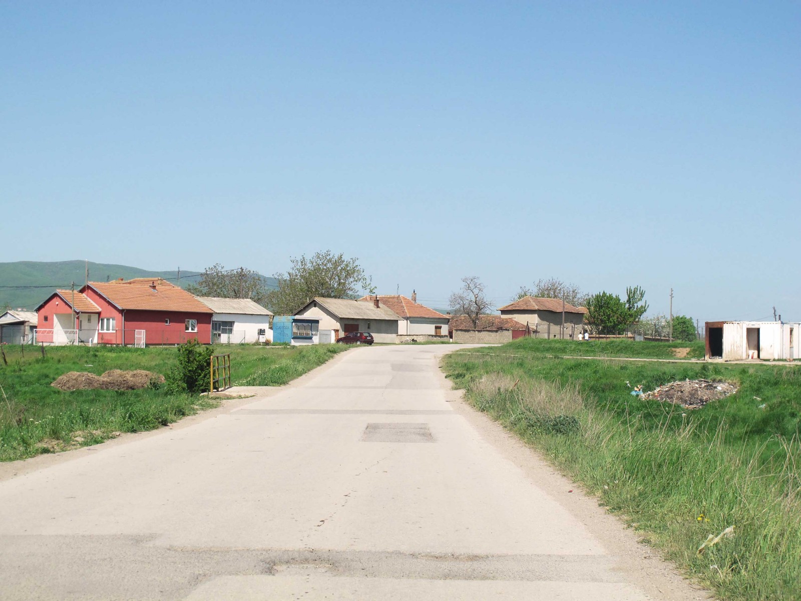
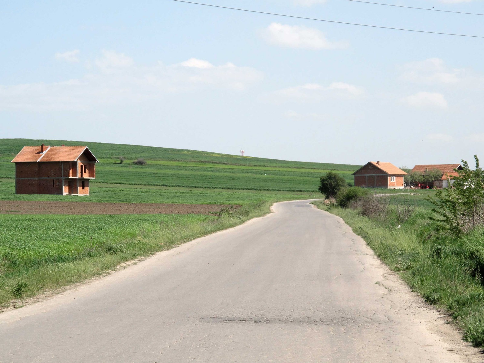
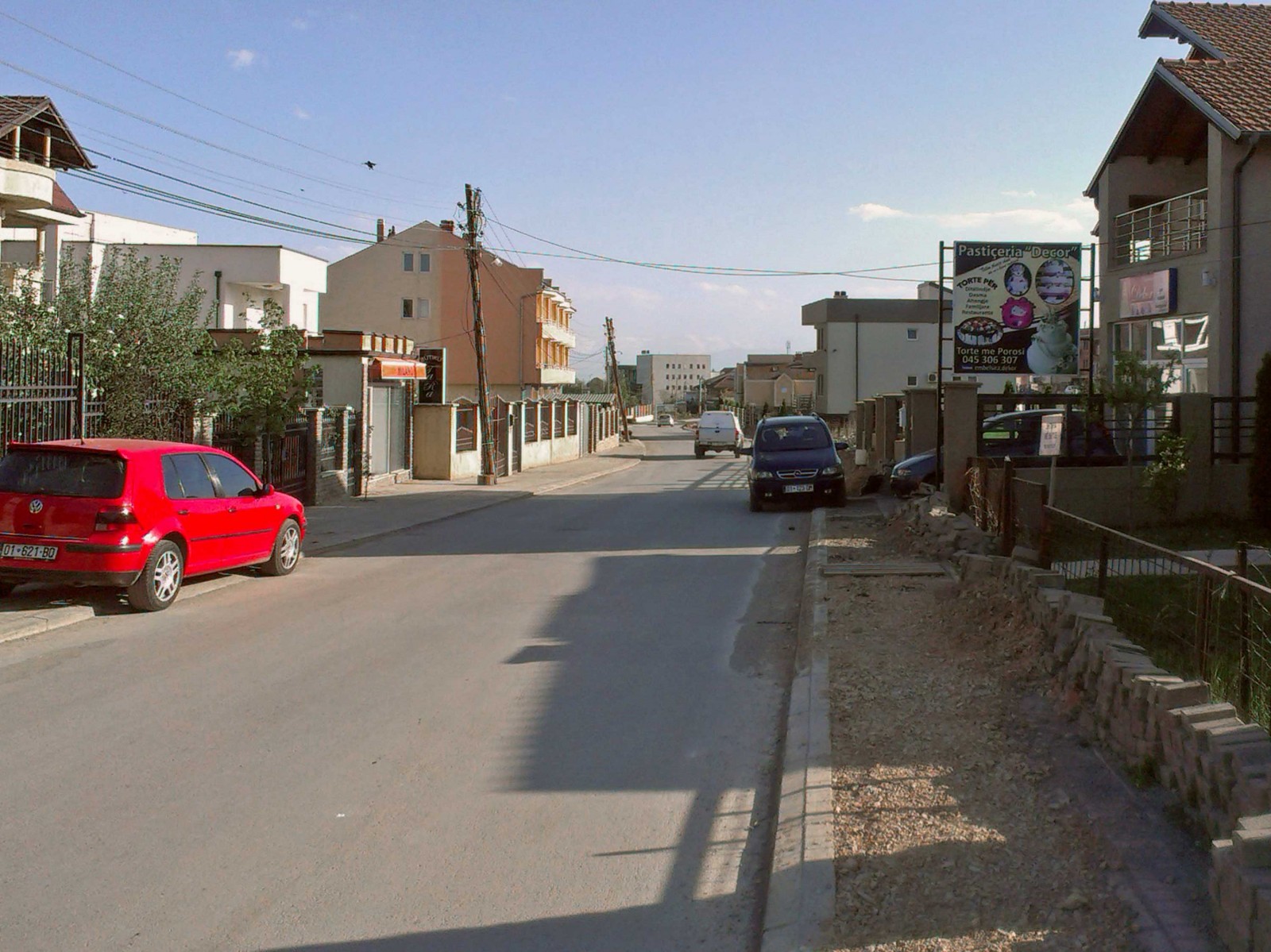
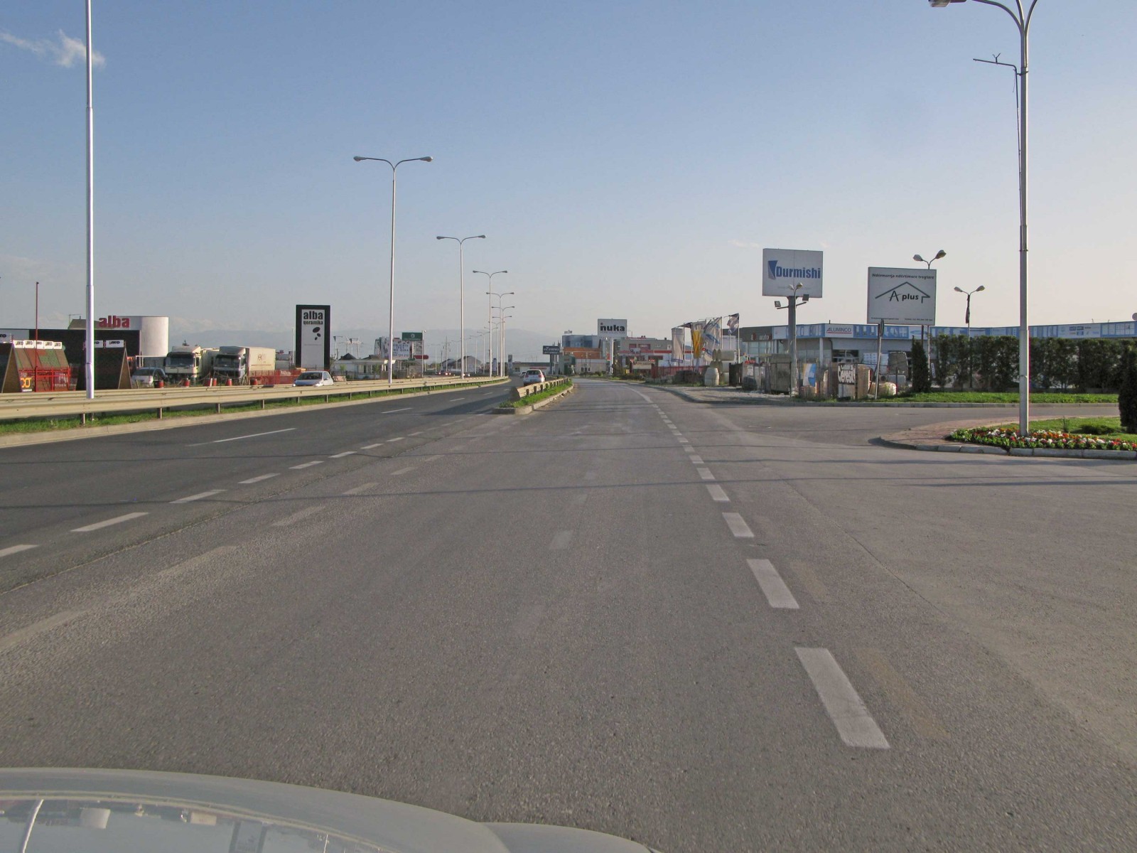
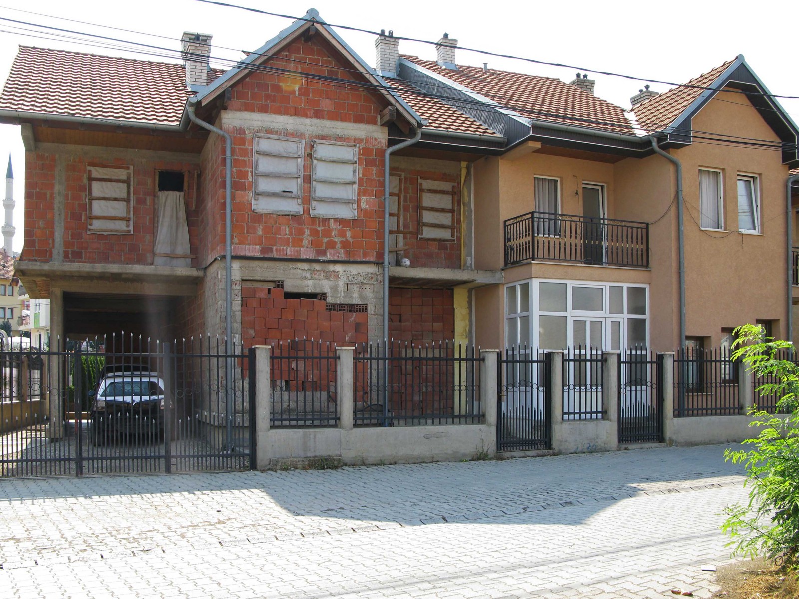
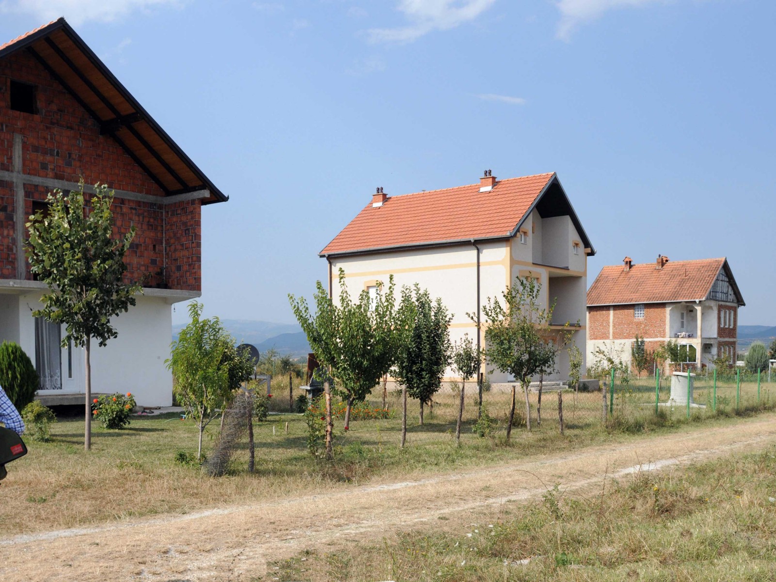
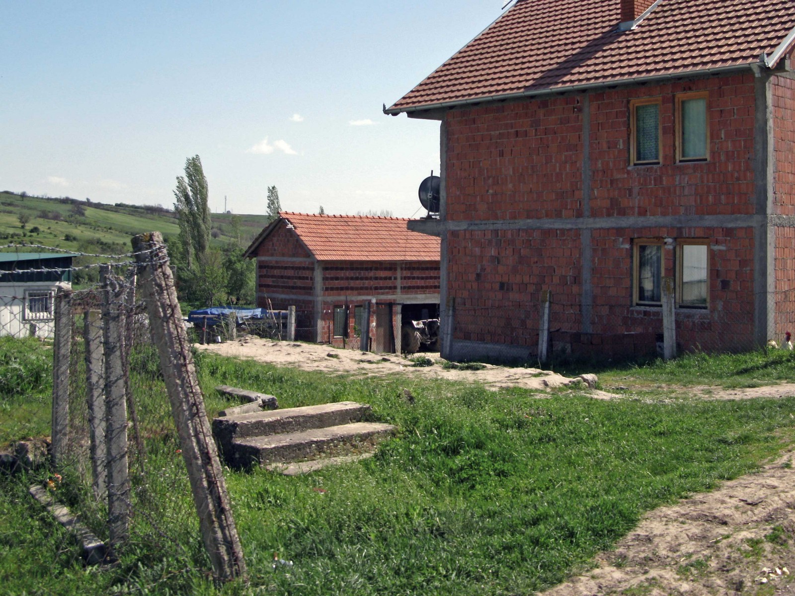
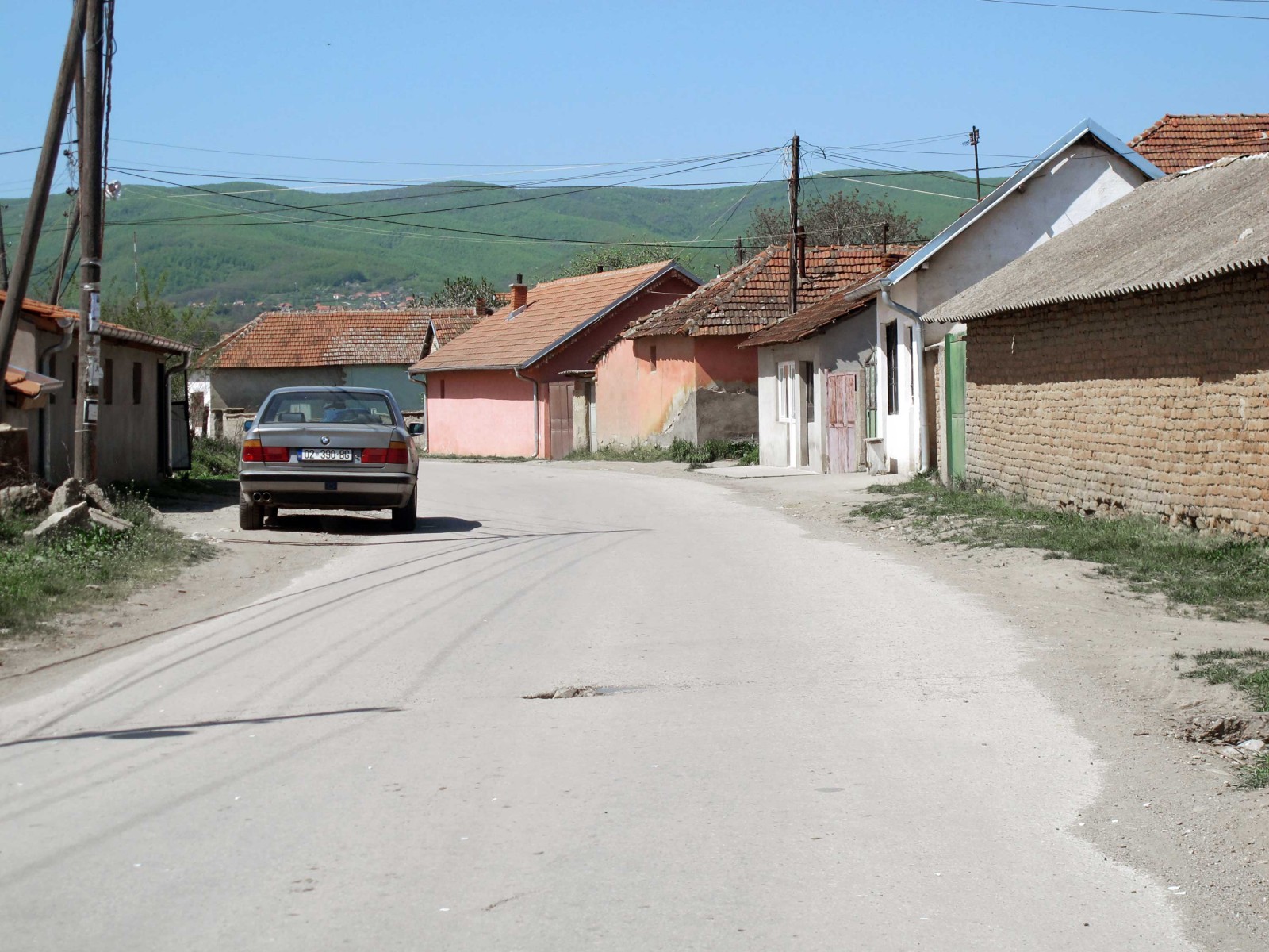
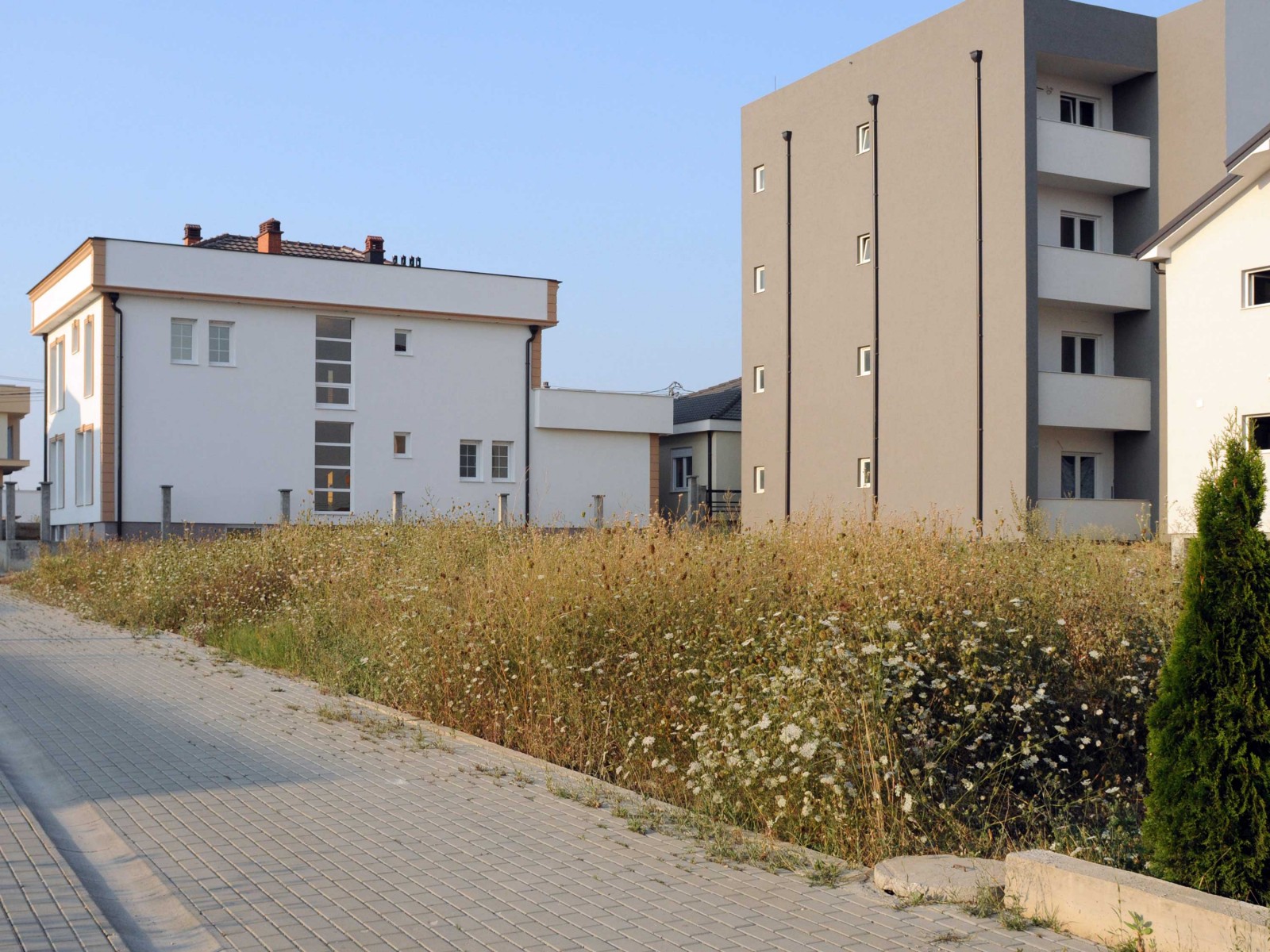
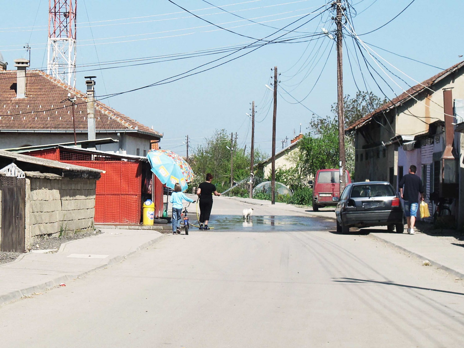
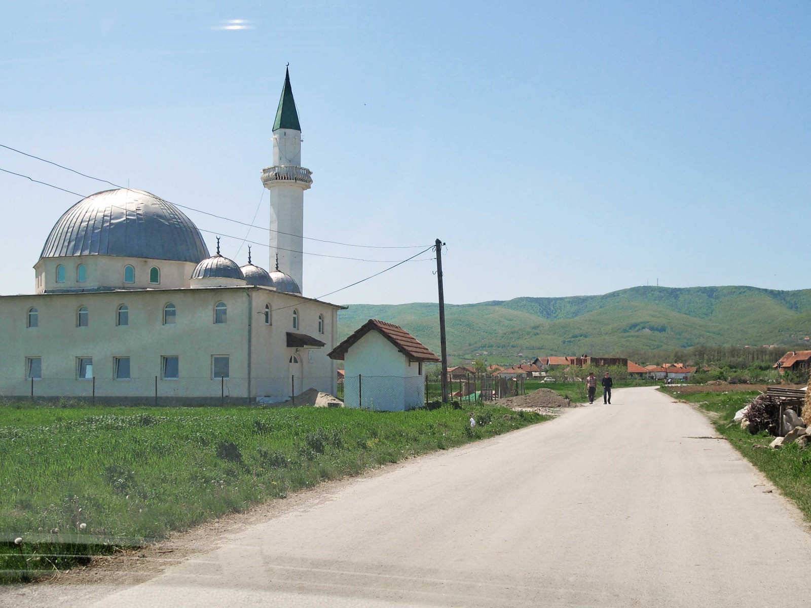
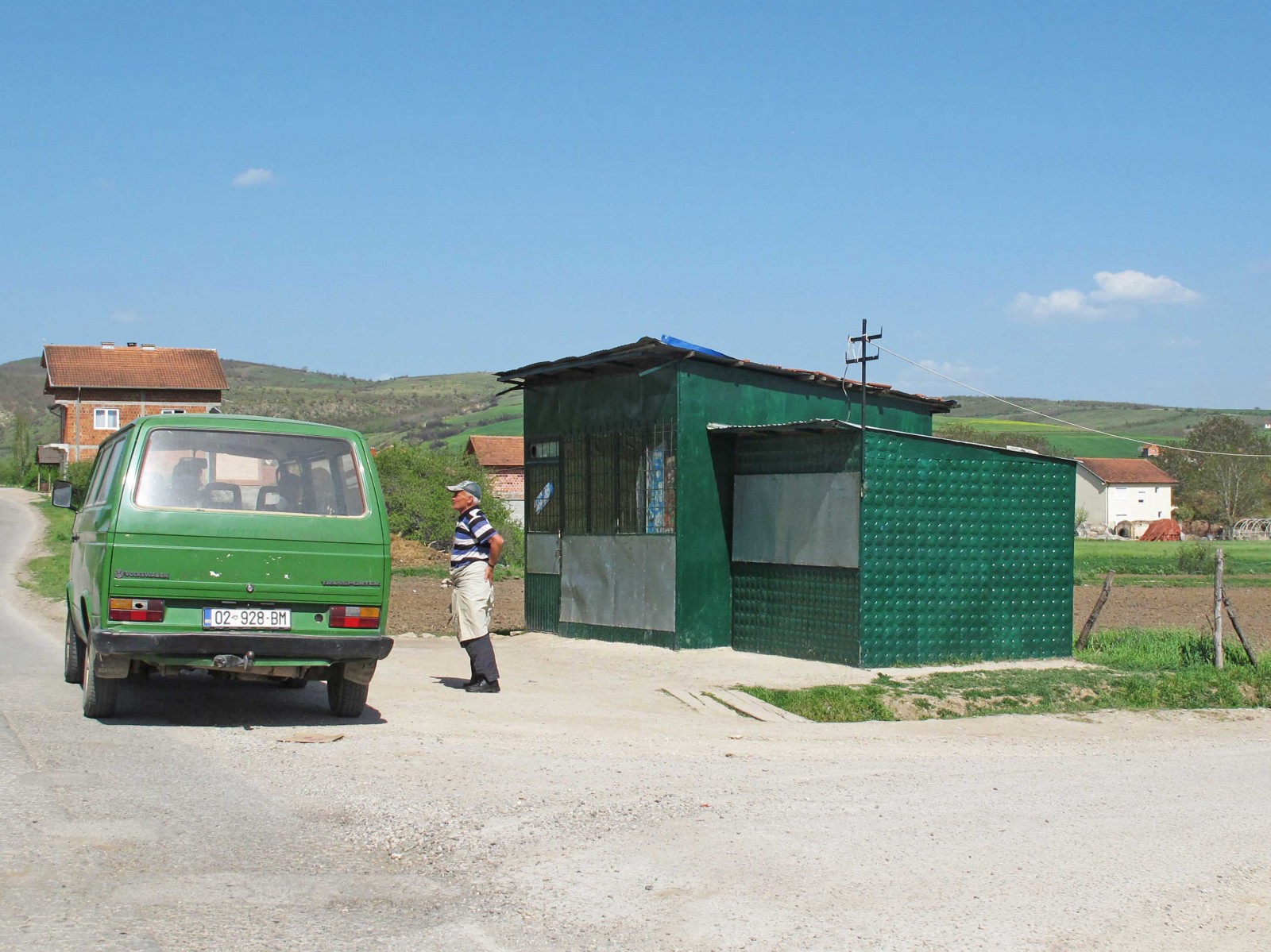
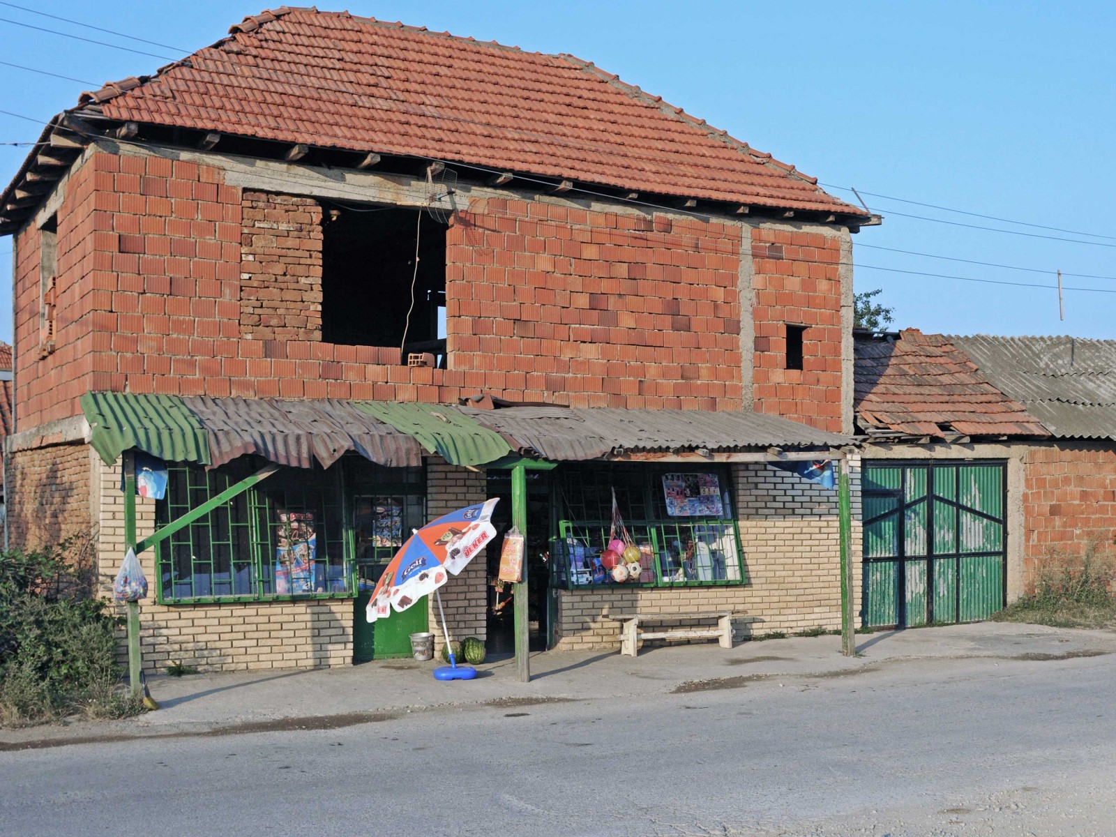
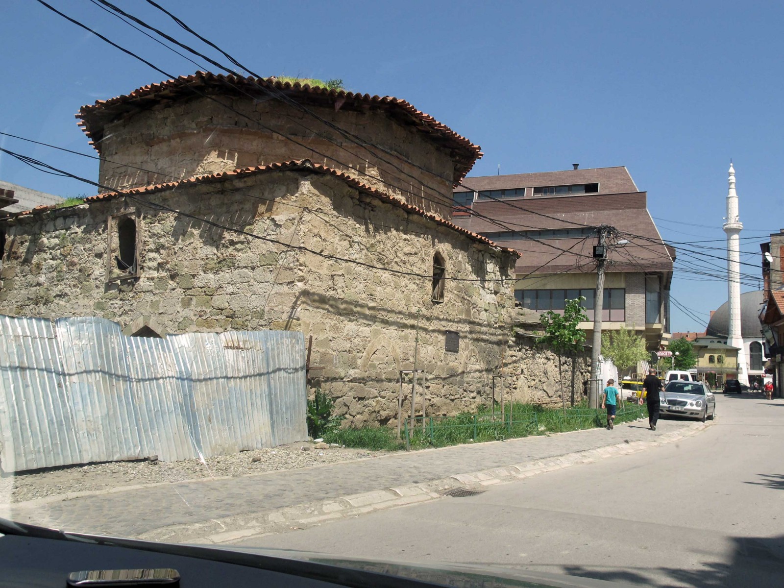
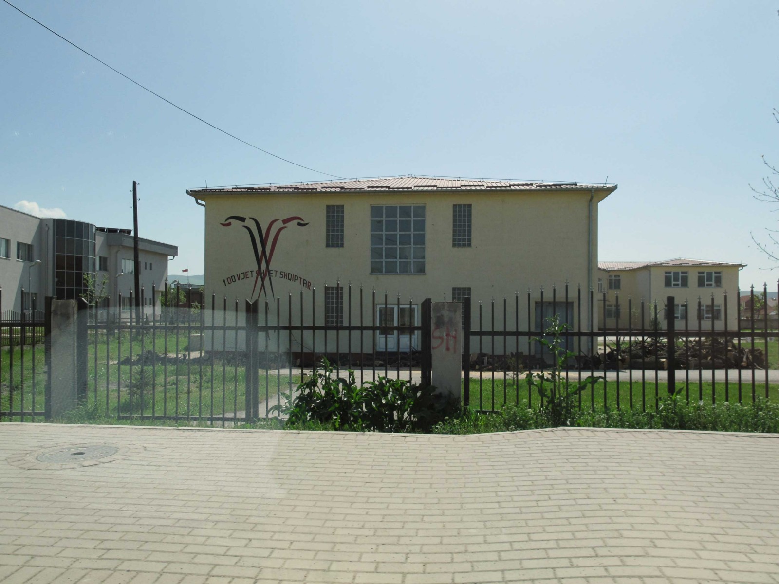
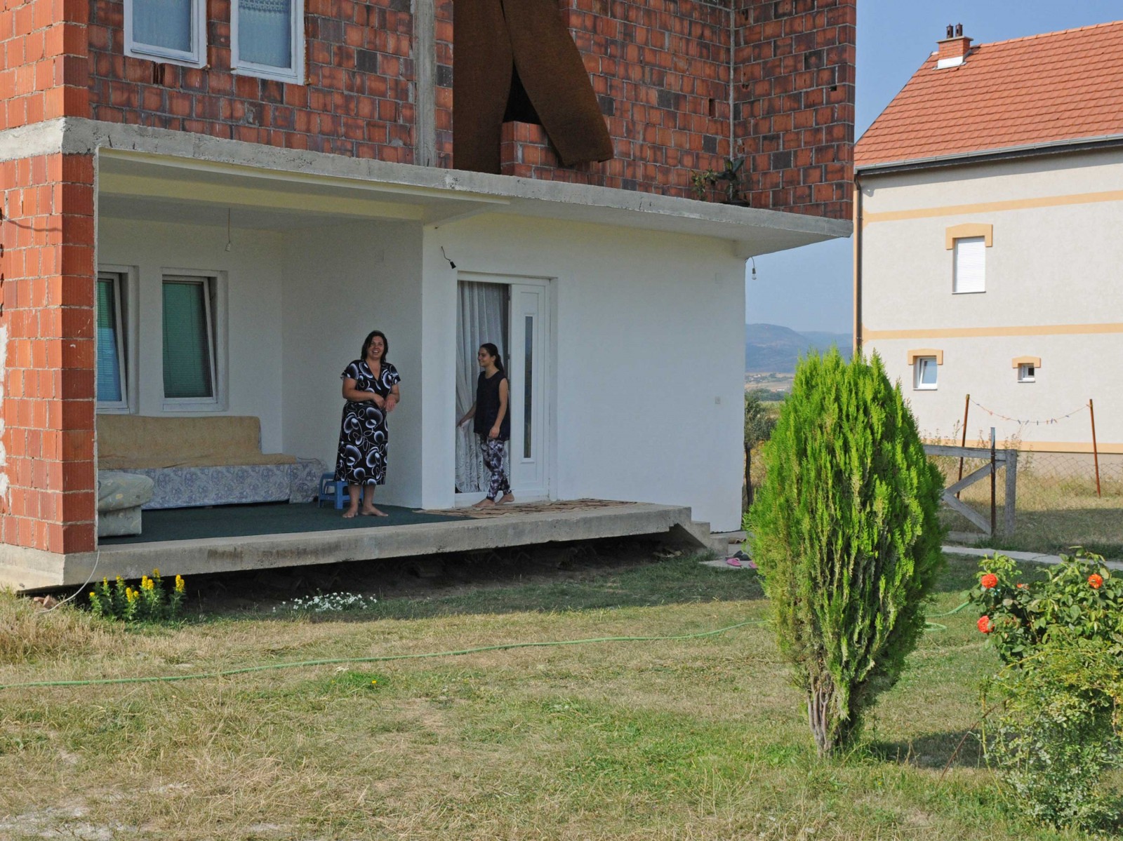
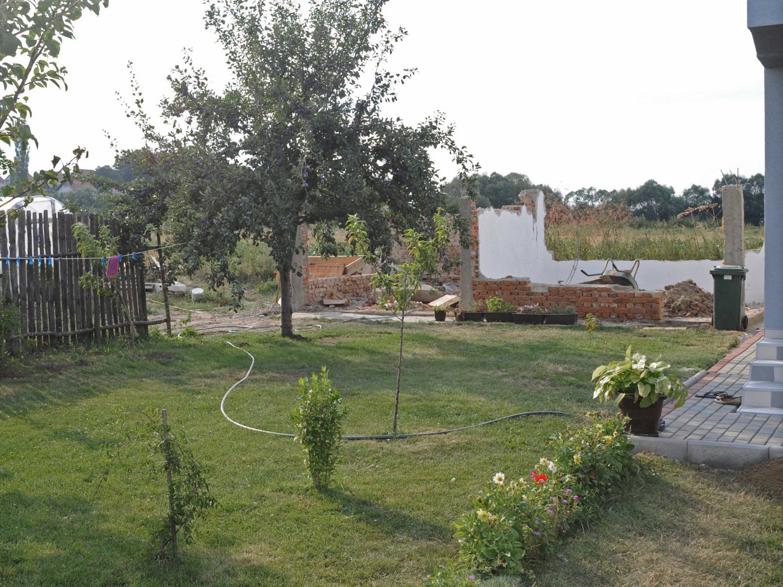
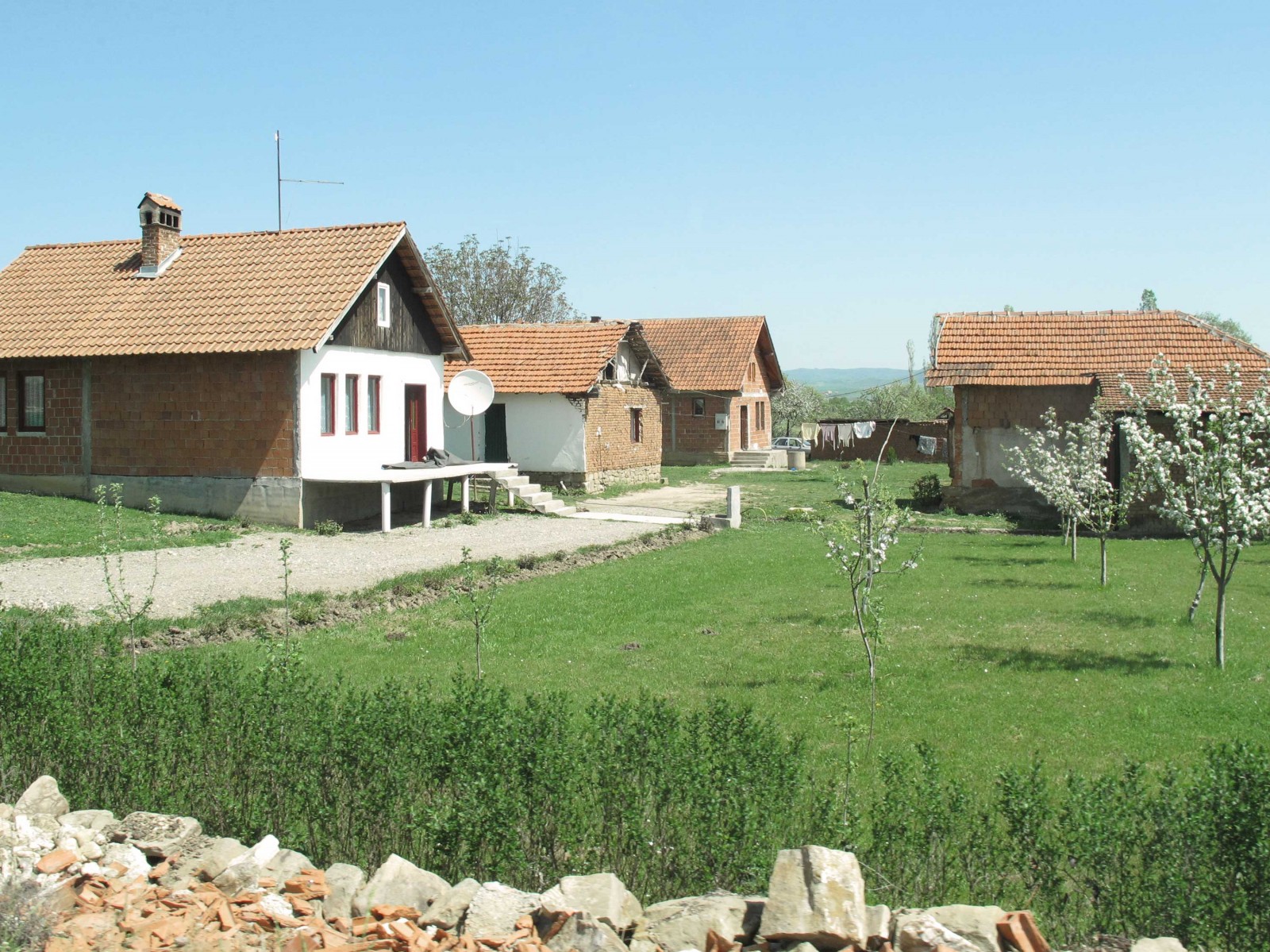
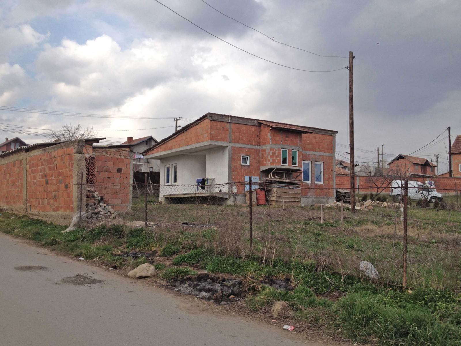
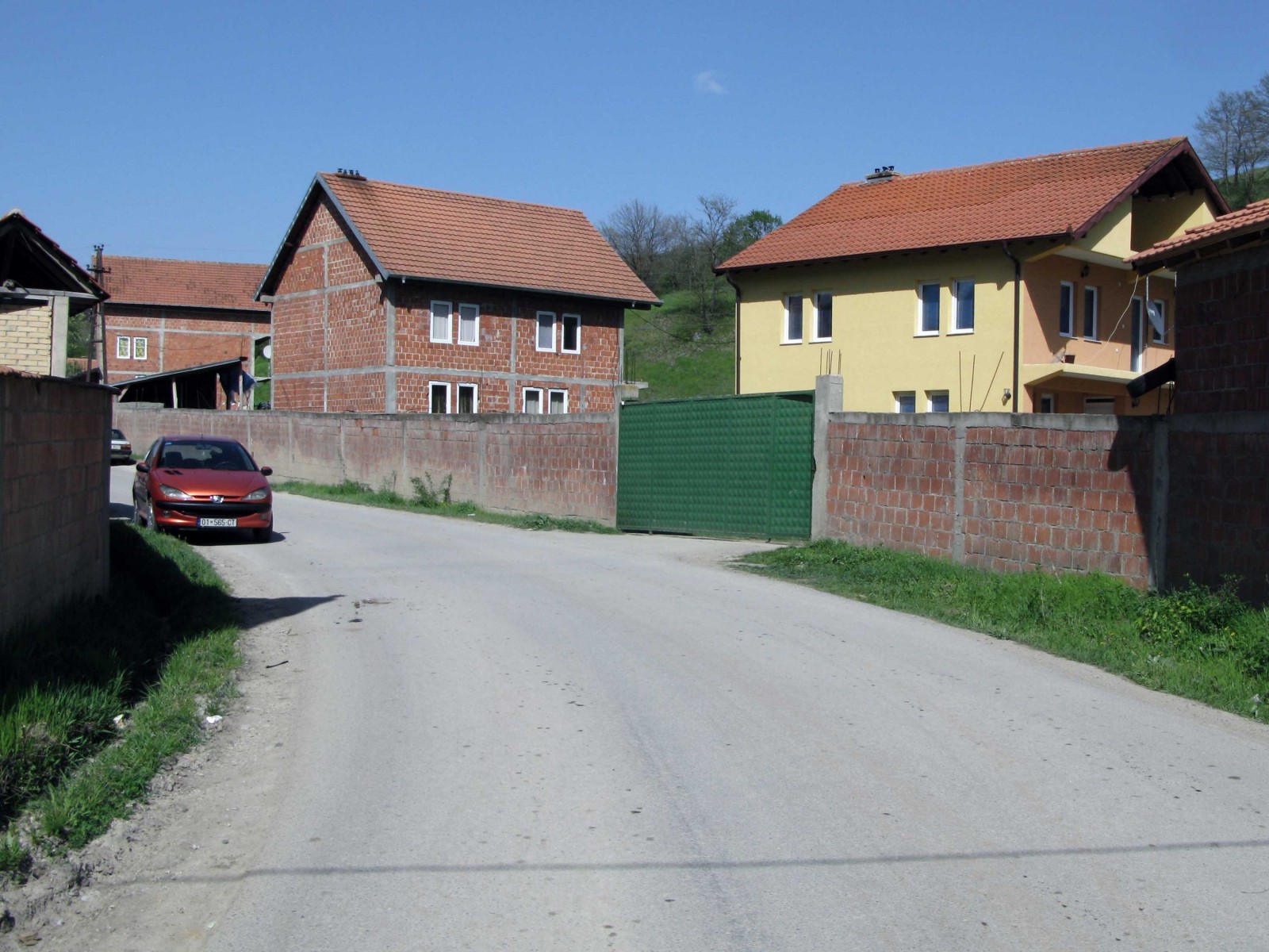
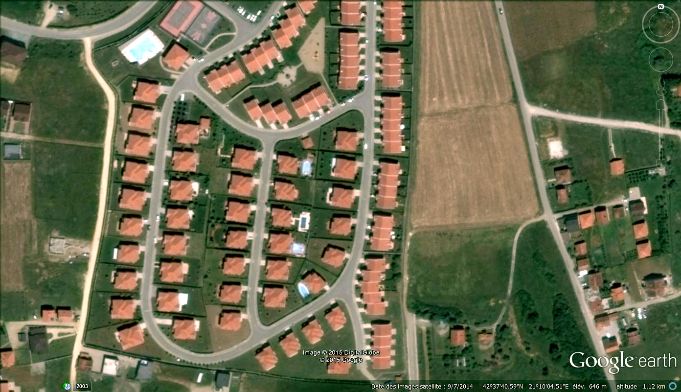
Kosovo is a newly created country, formerly part of Yougoslavia. Although not being a rich country it is an very fertile land formed by a Midland encircled by mid rise mountains. After communism and years of war and due to a lack of regulation the country looks nowadays like a continuous urbanization with no properly legible and intelligible structure.
Author Archives: admin

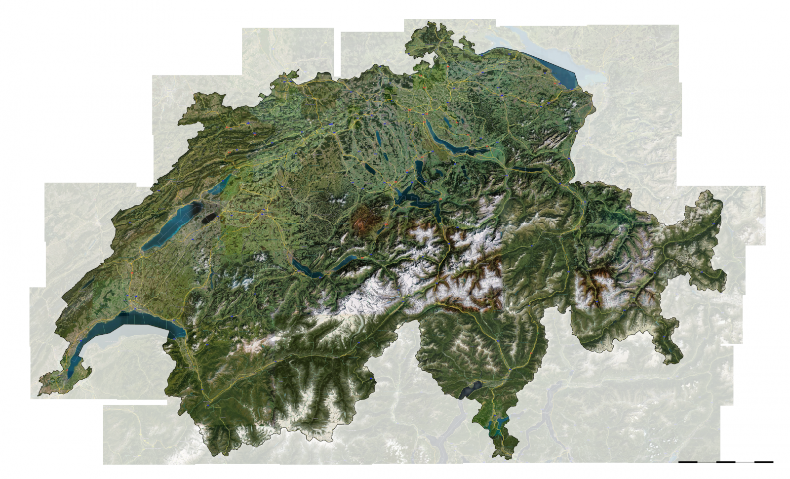
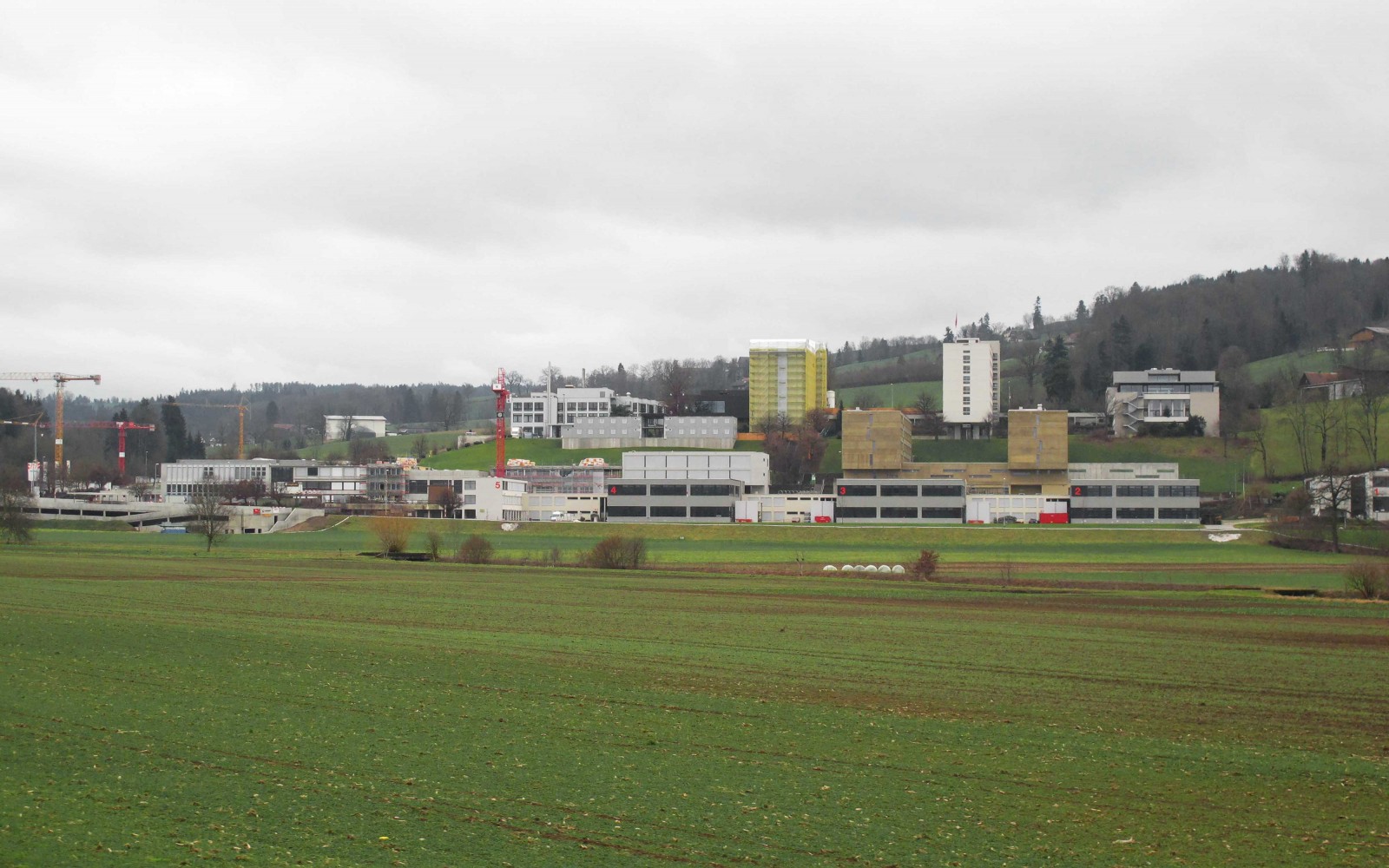
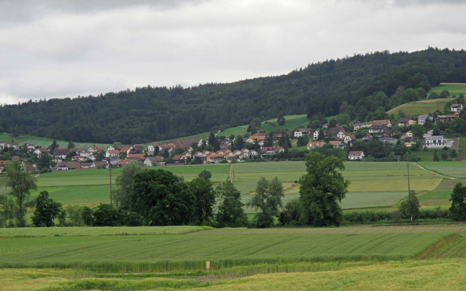
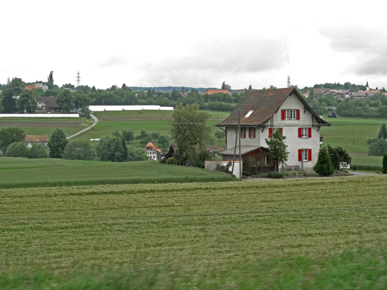
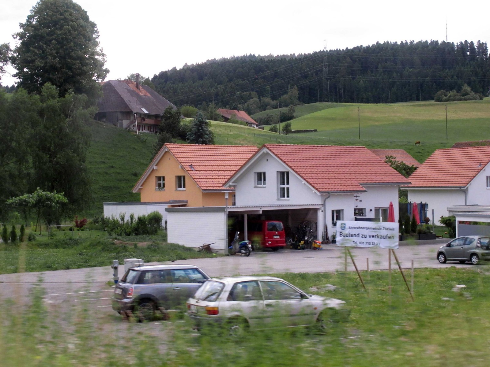
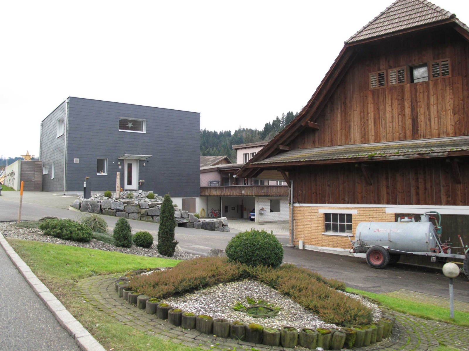
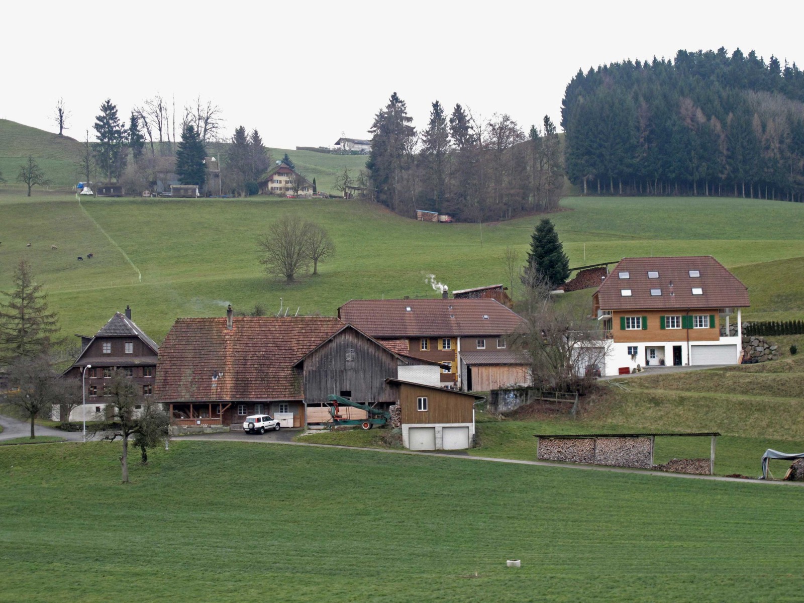
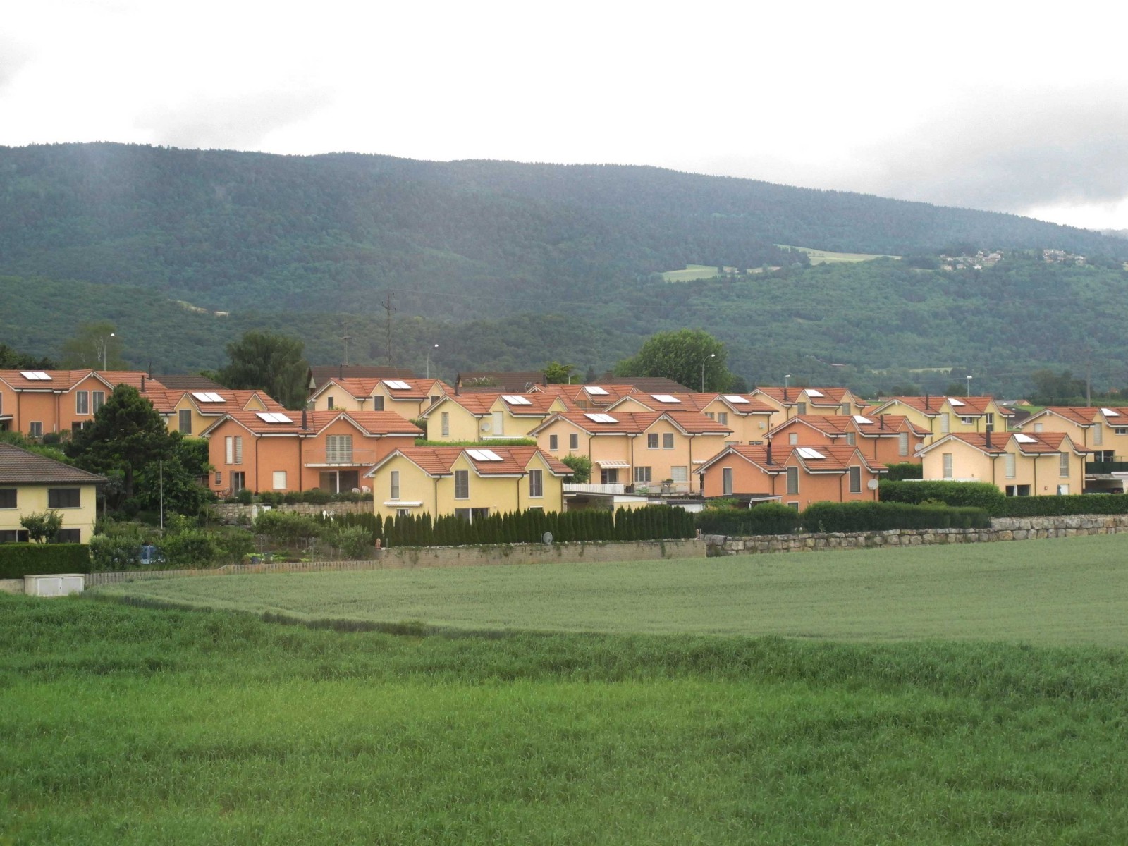
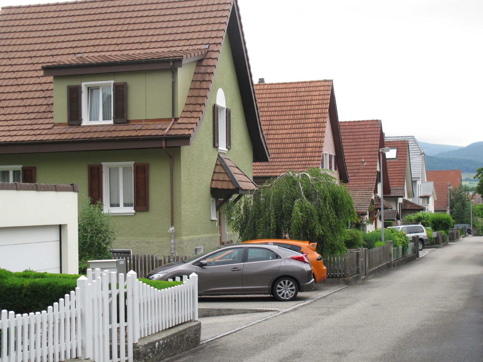
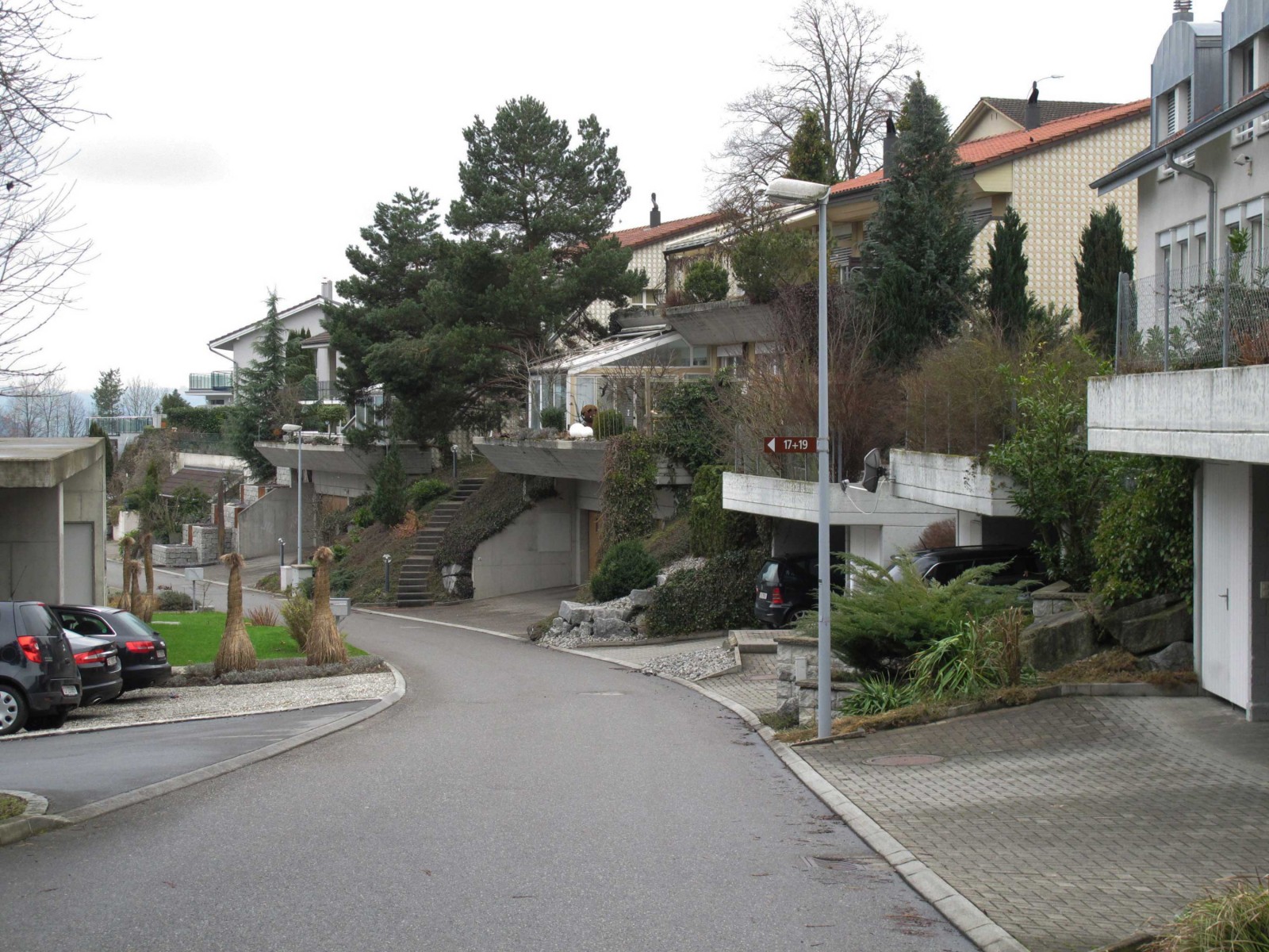
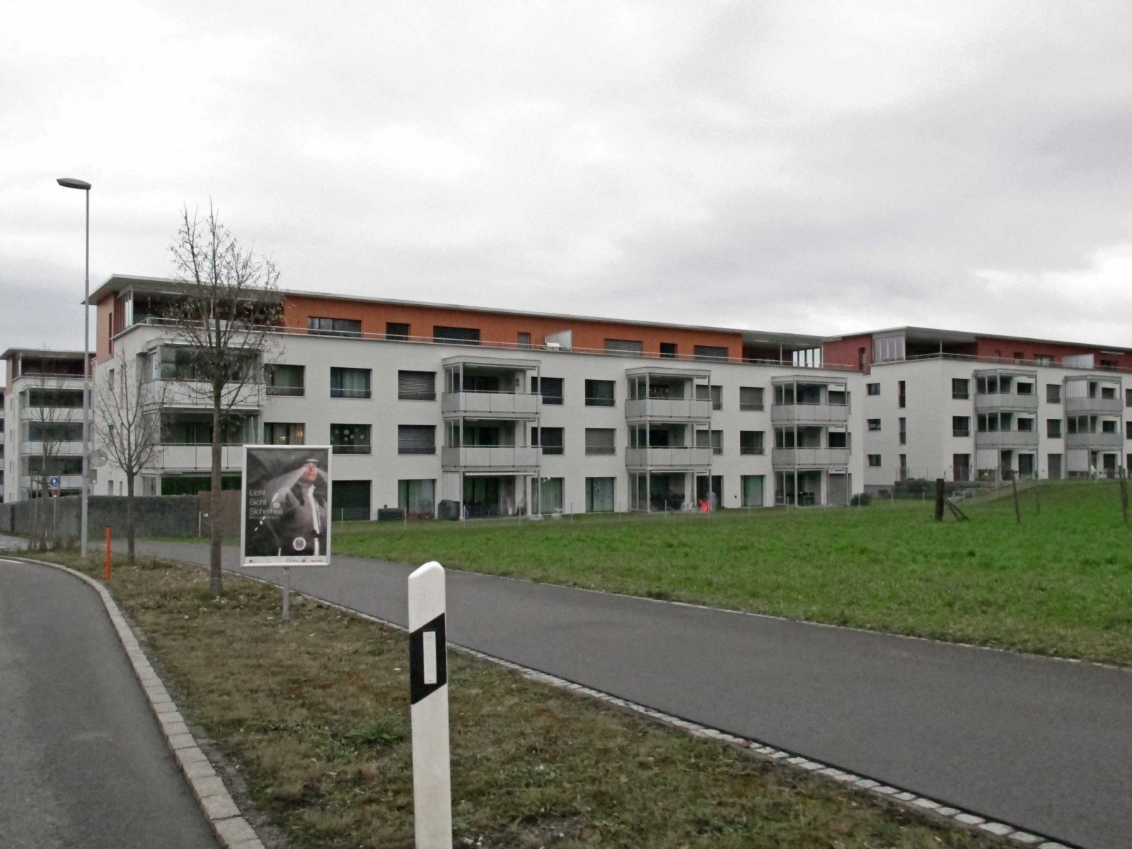
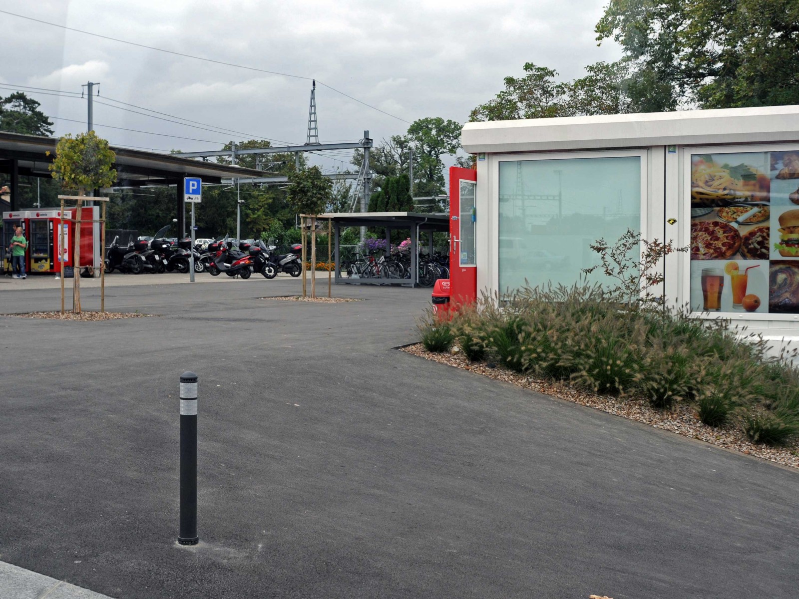
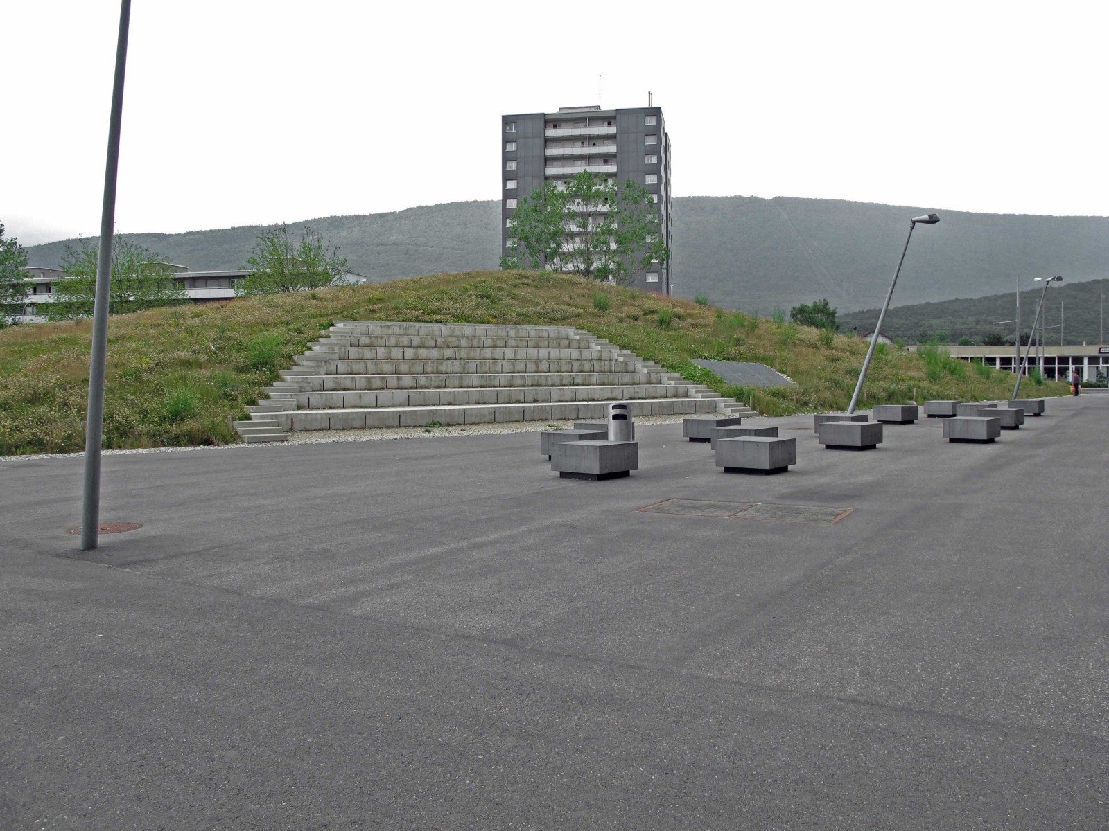
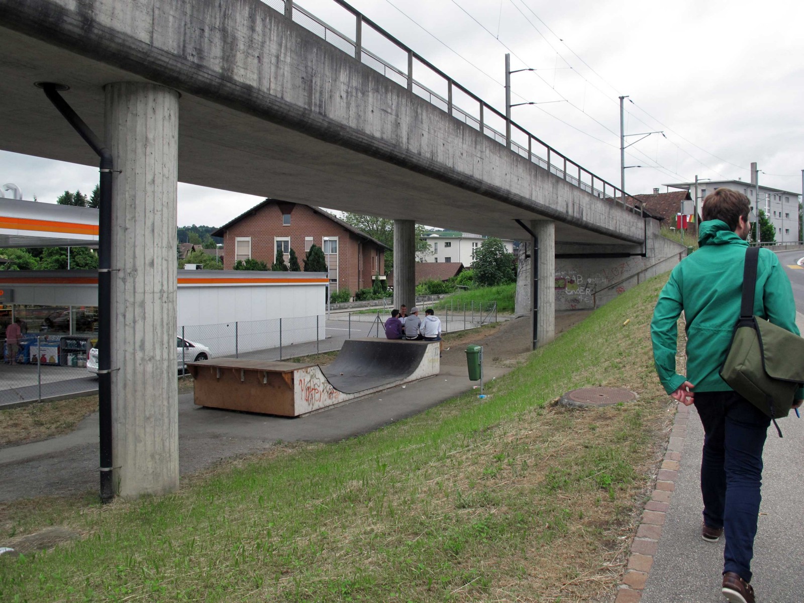
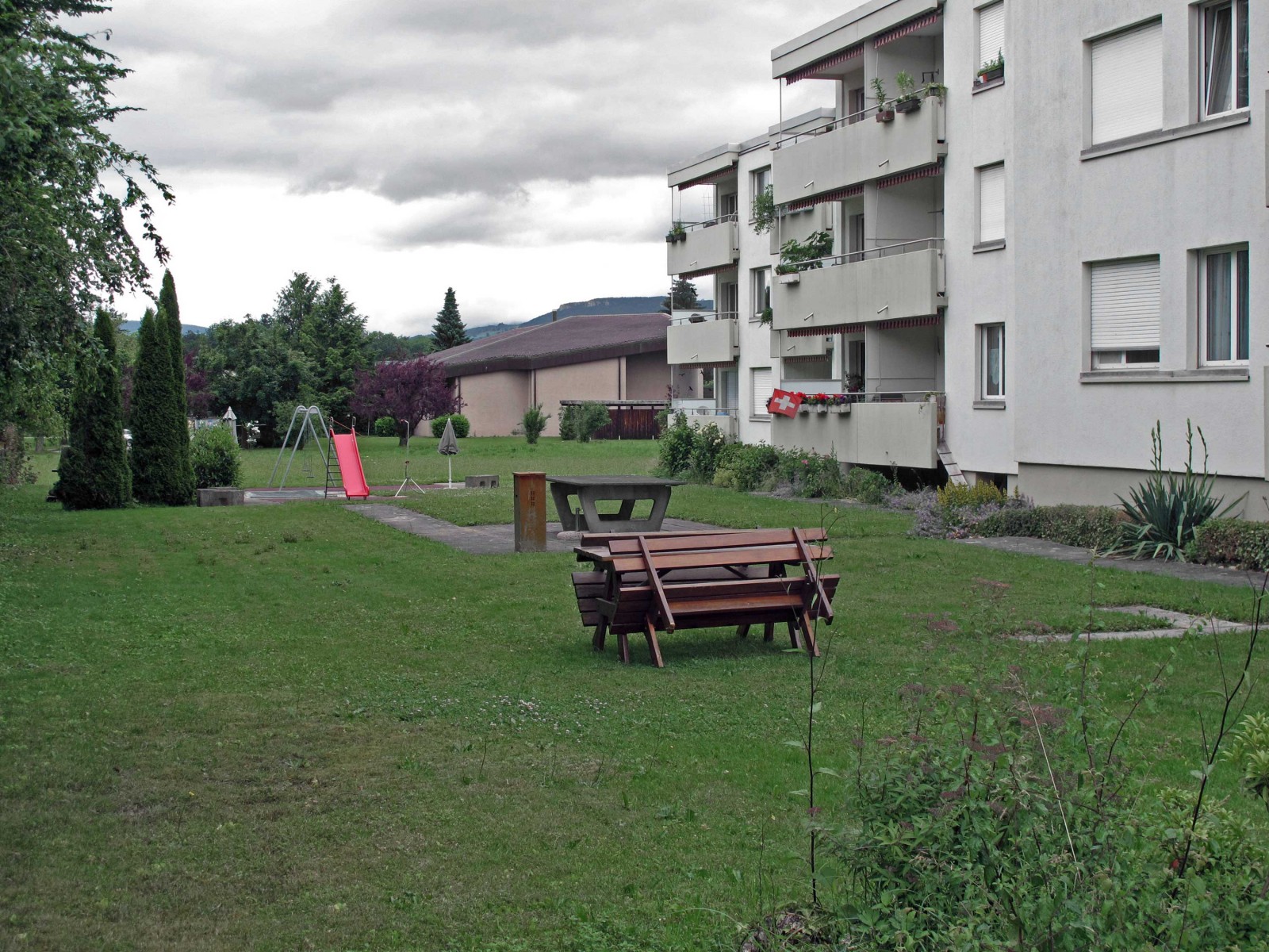
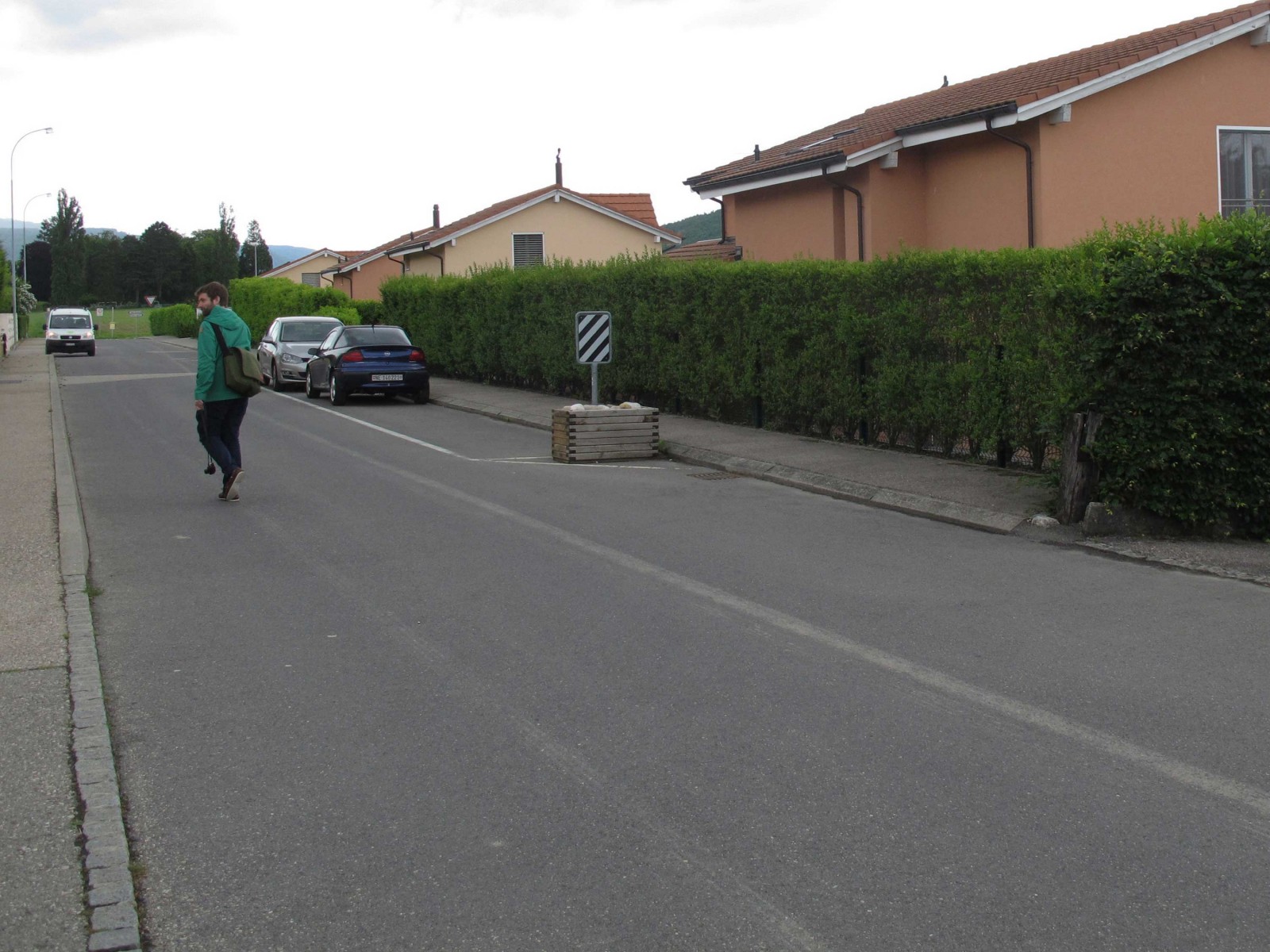
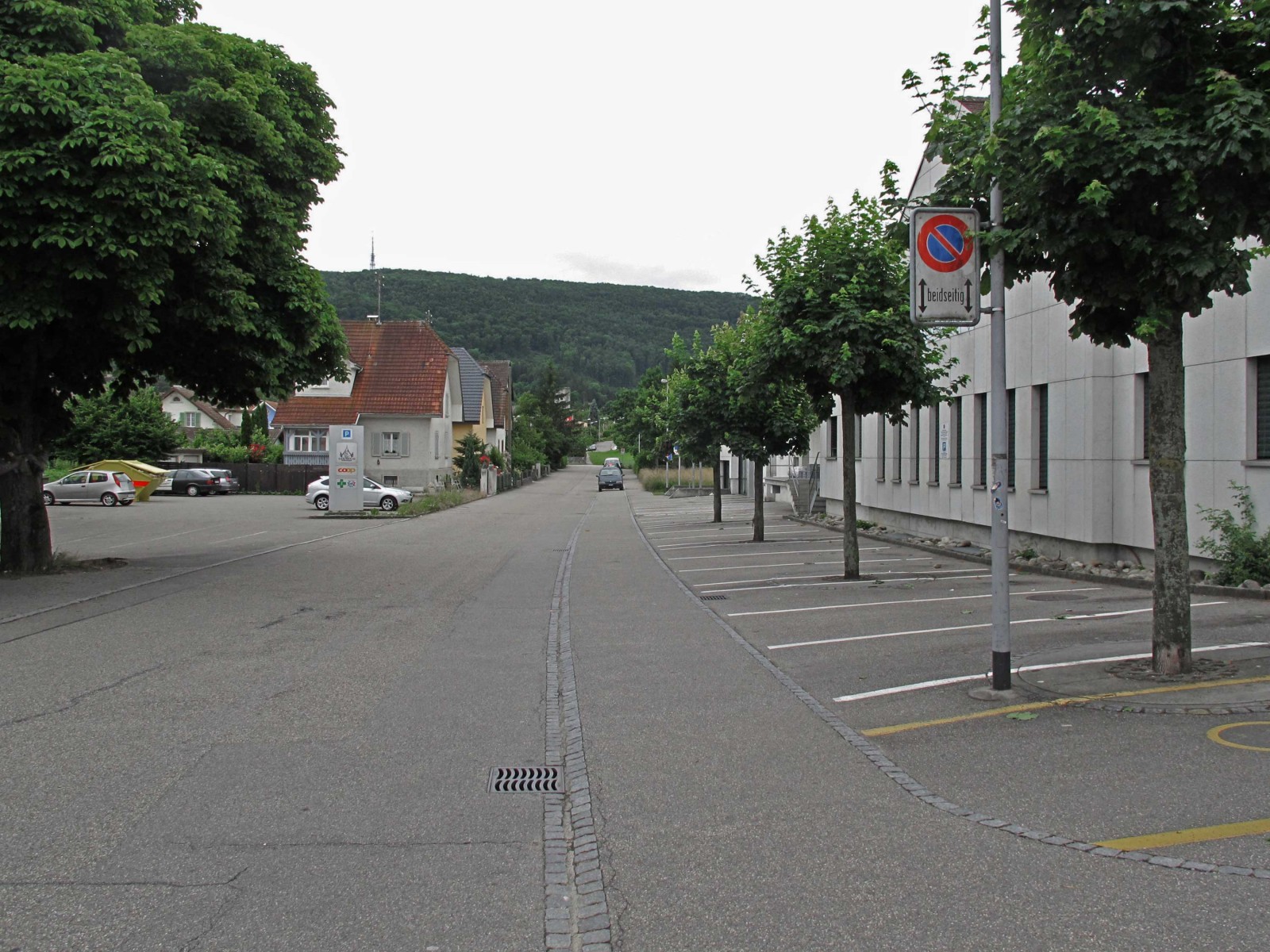
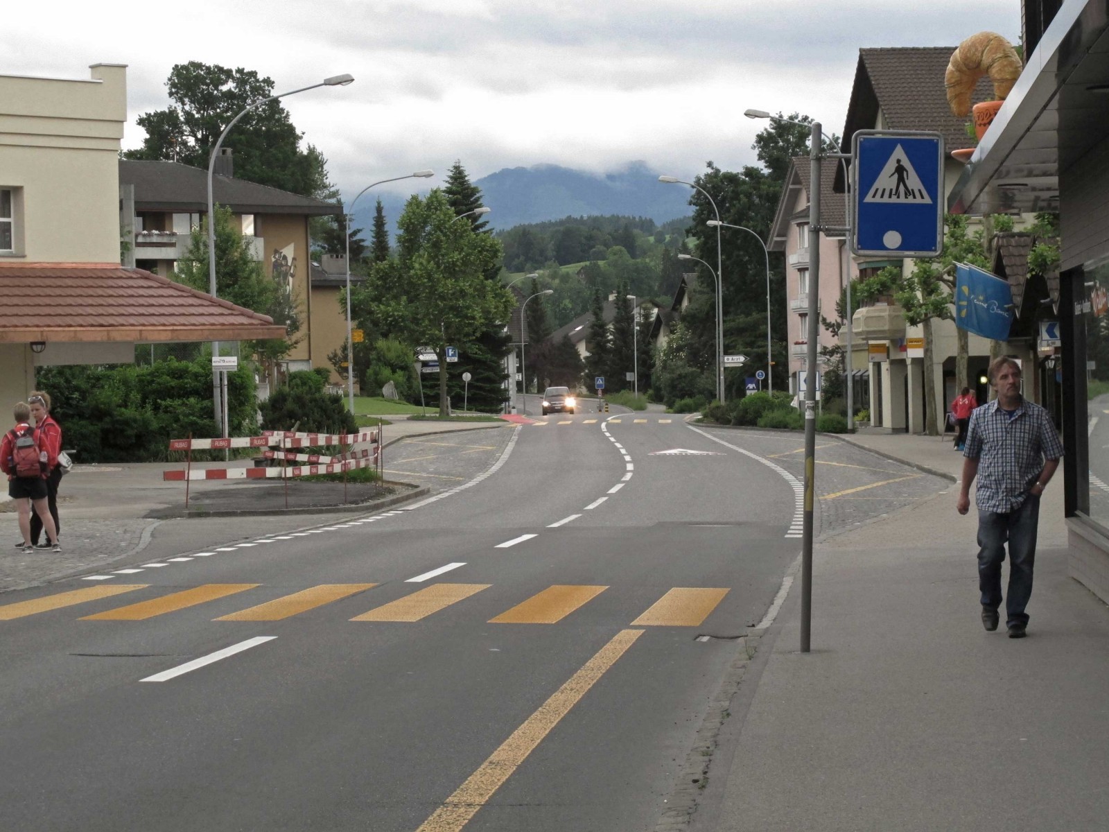
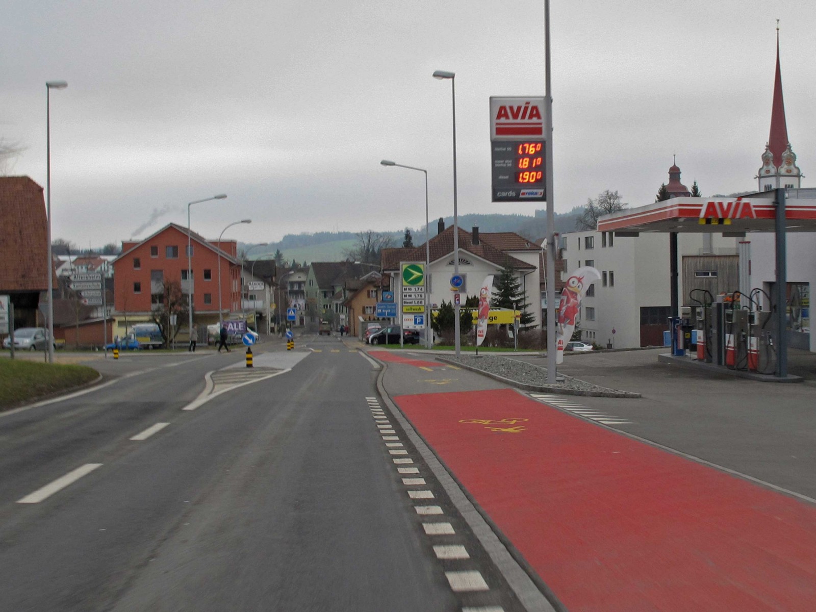
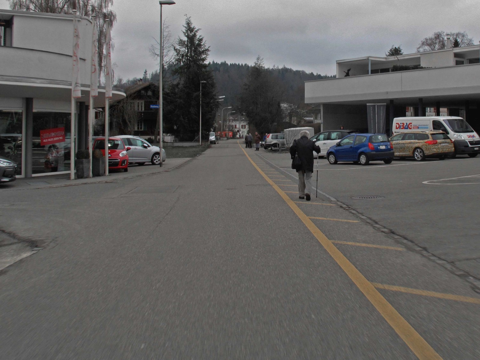
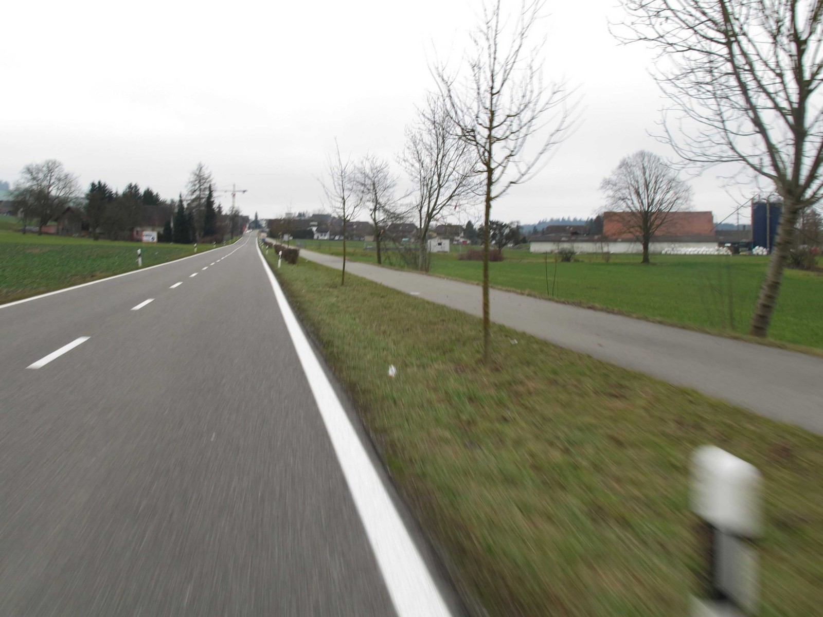
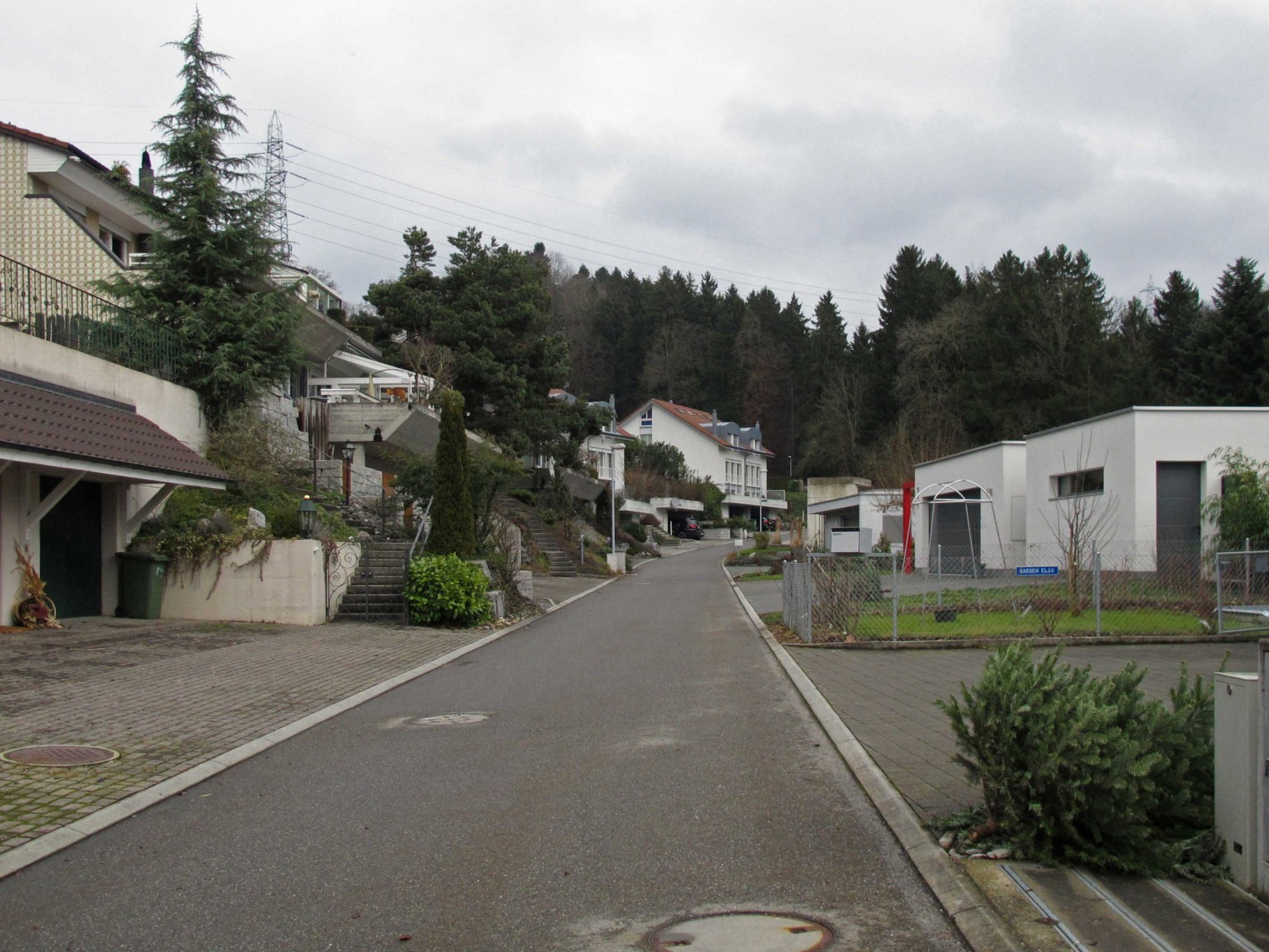
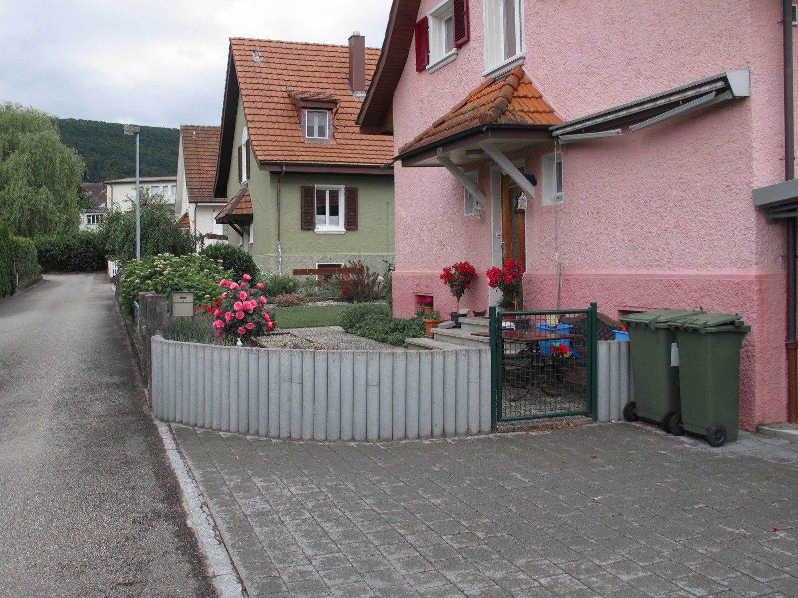
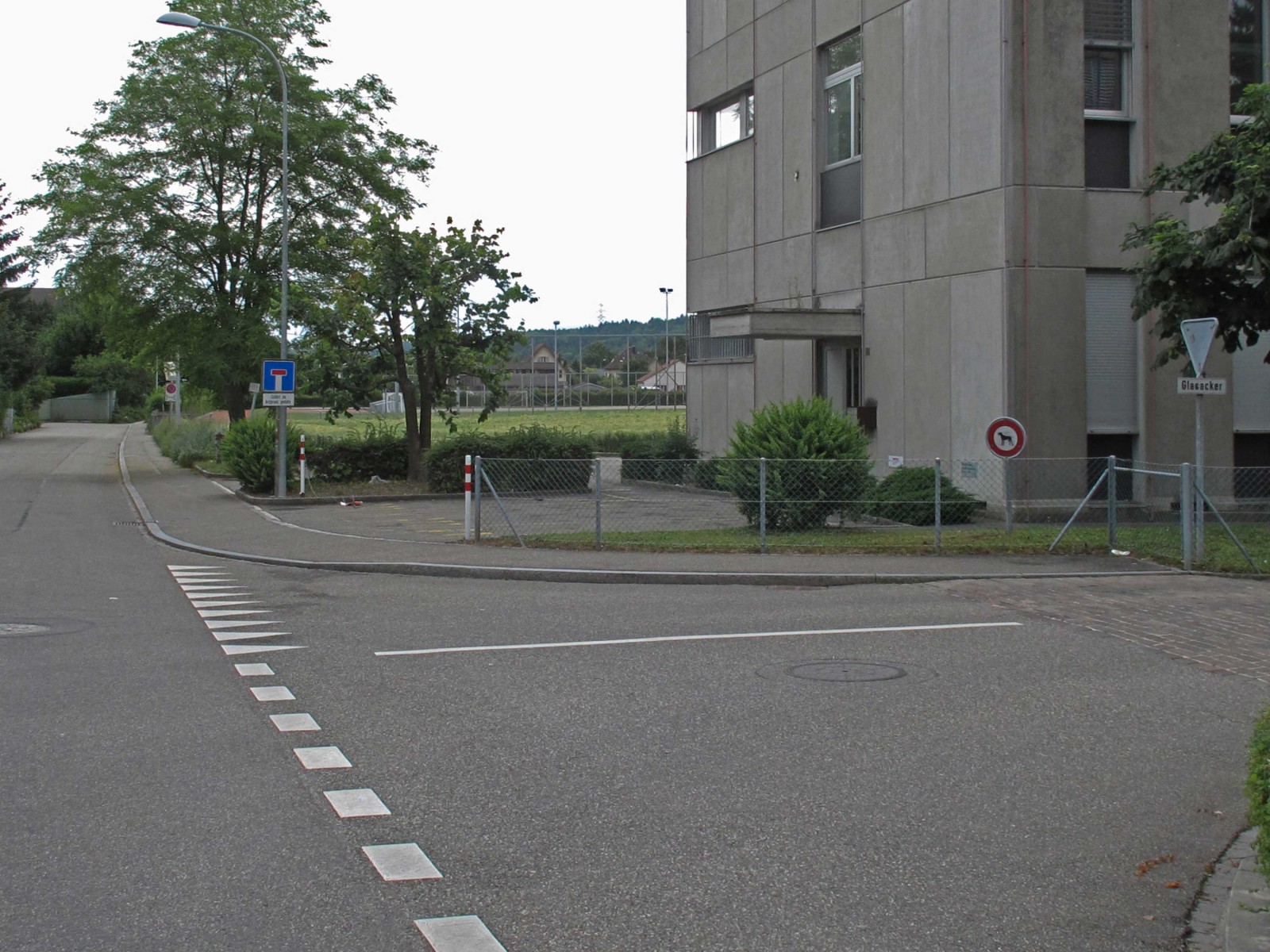
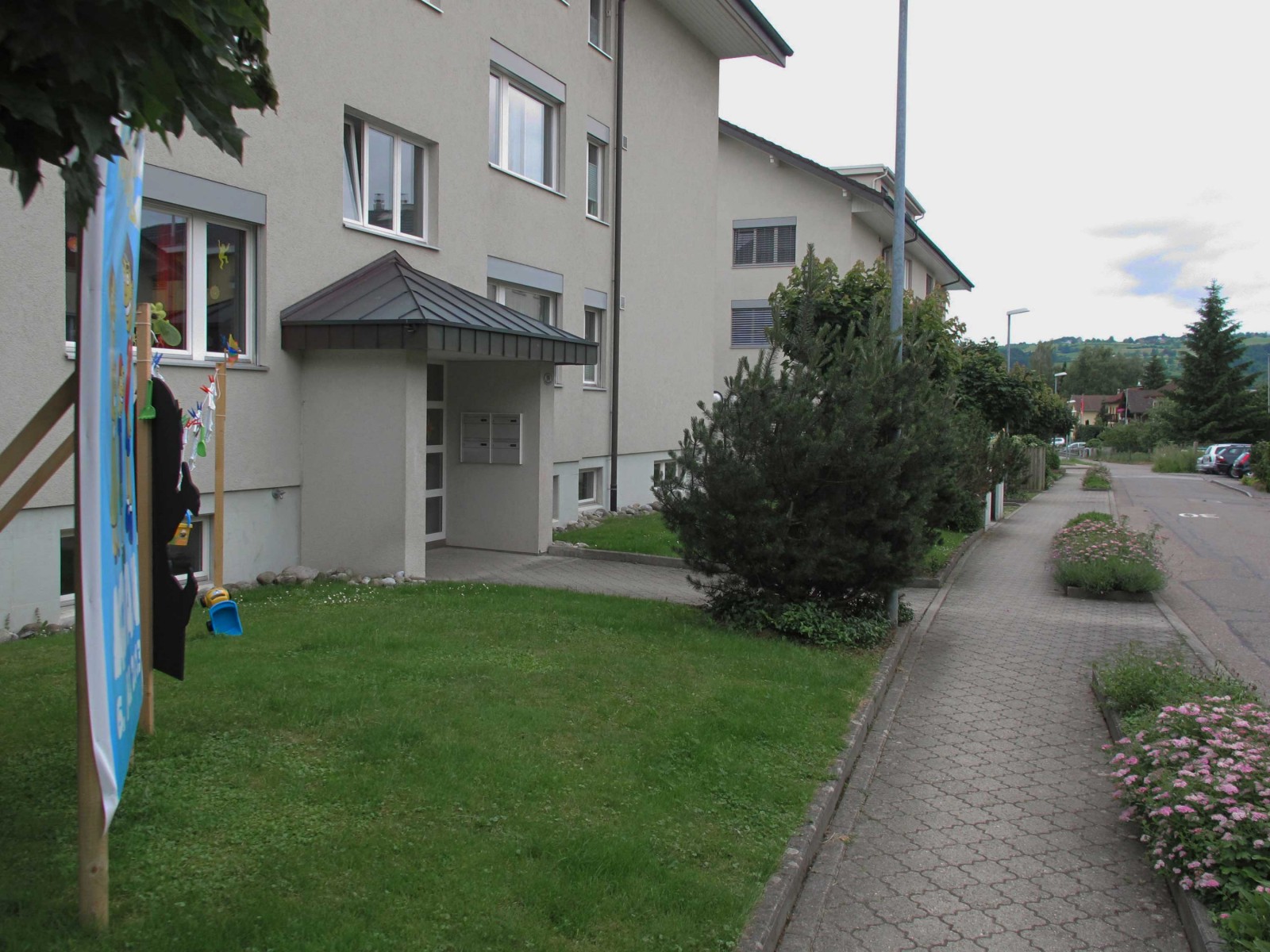
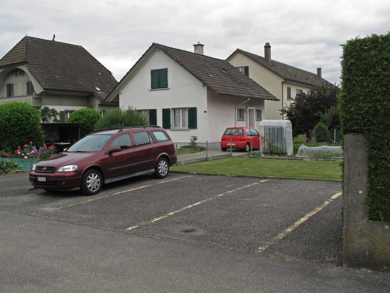
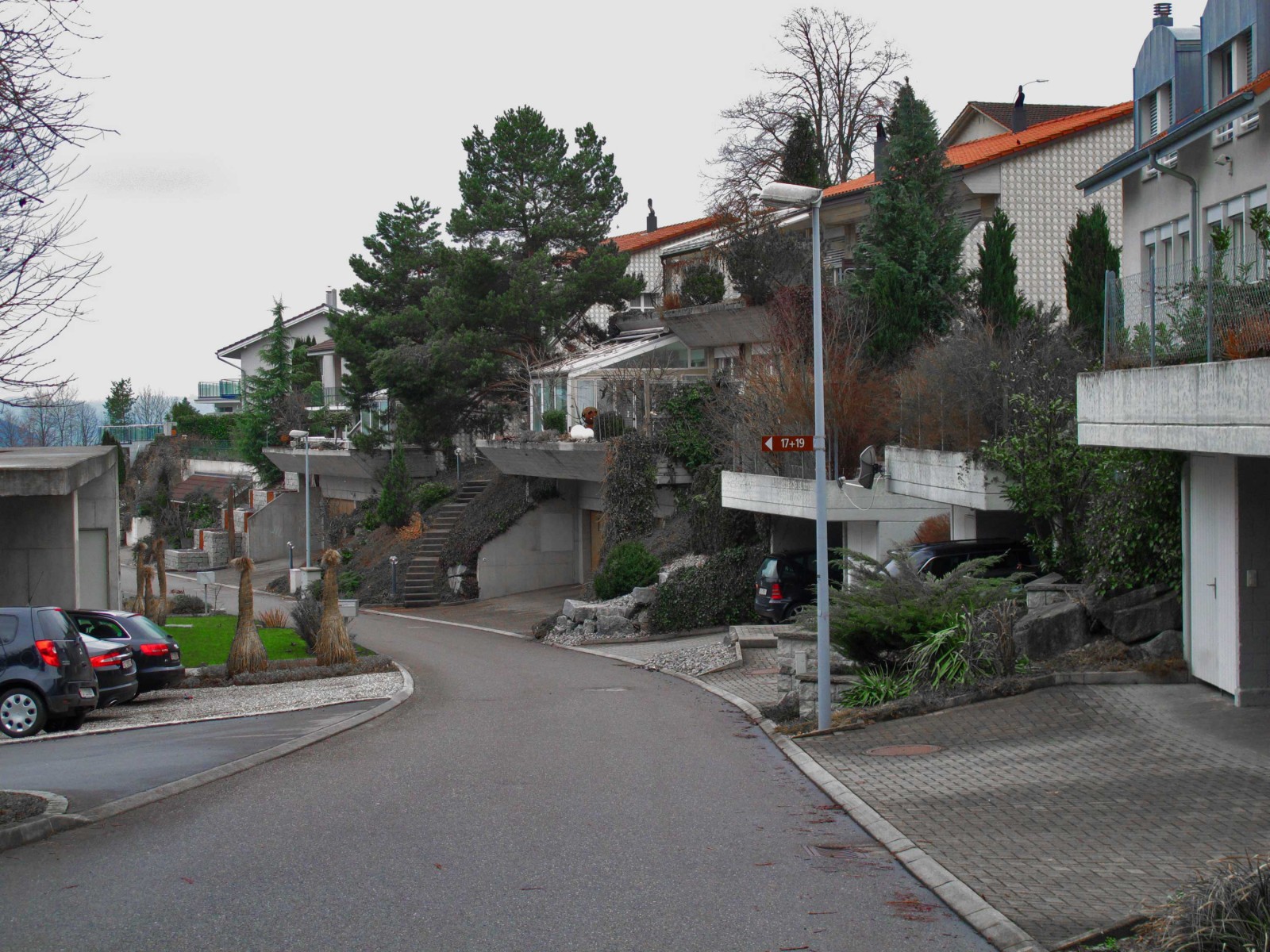
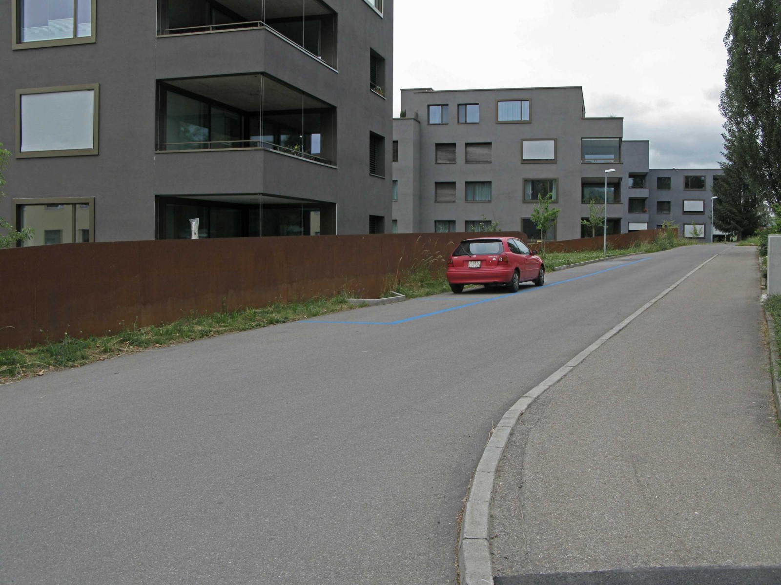
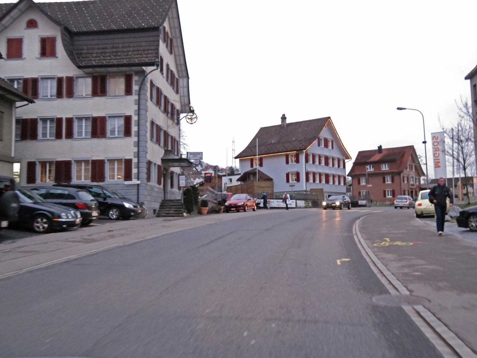
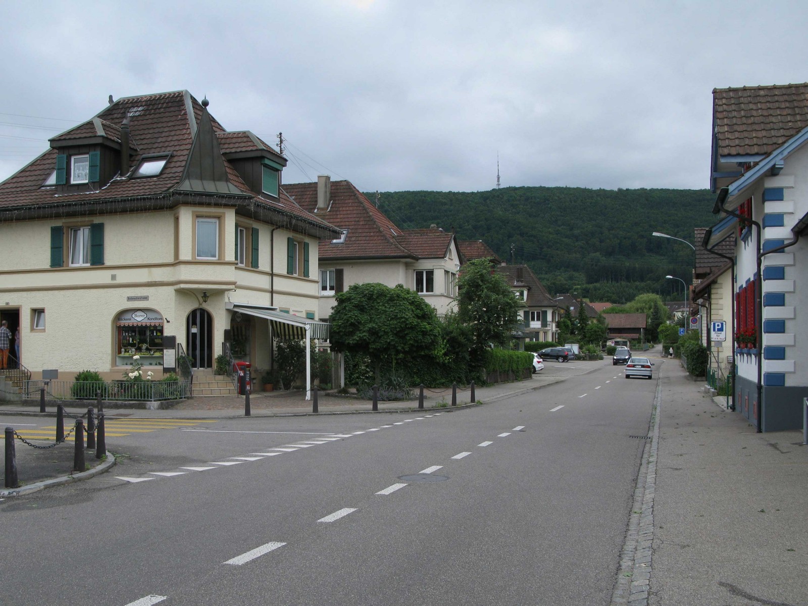
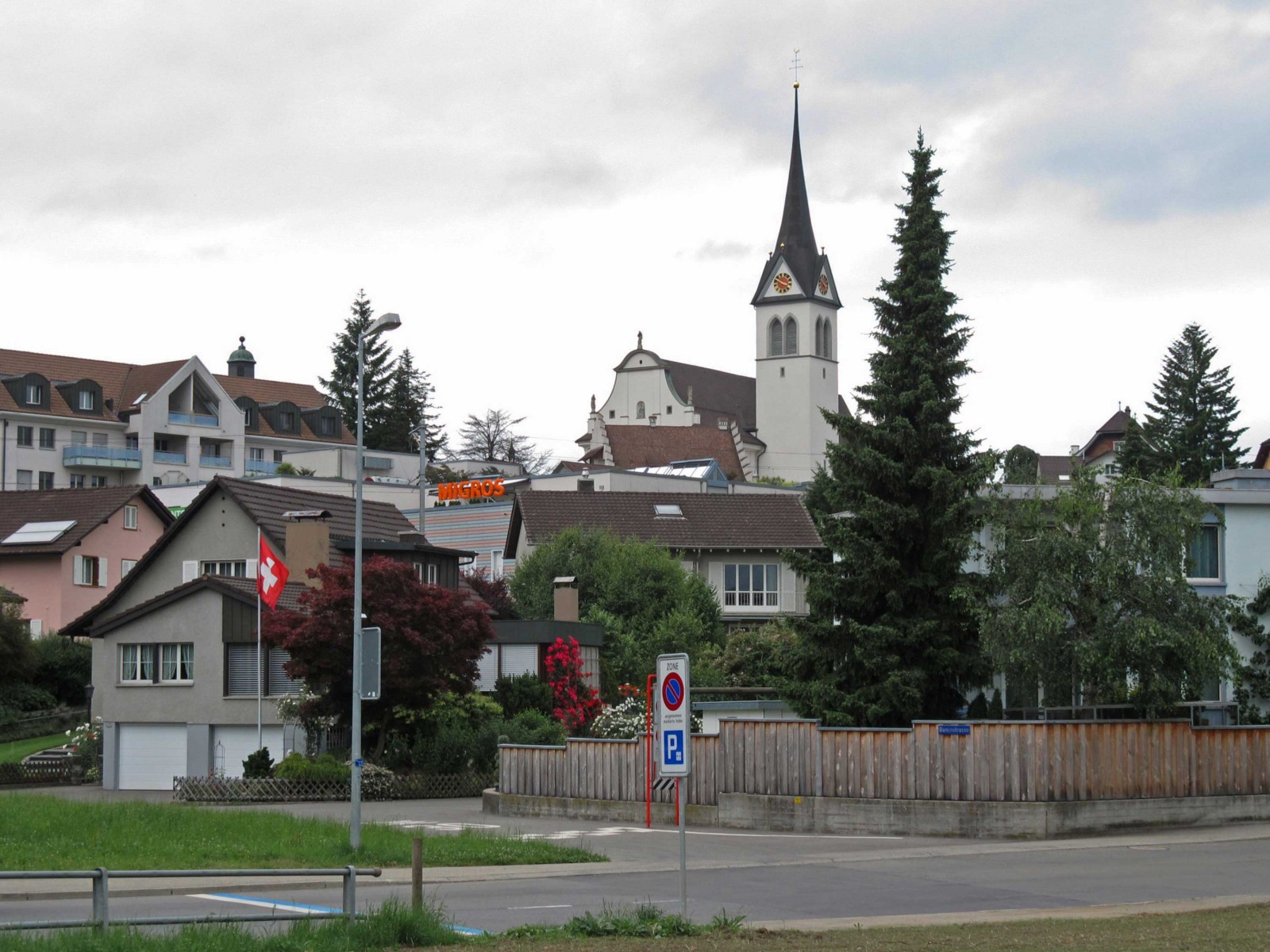
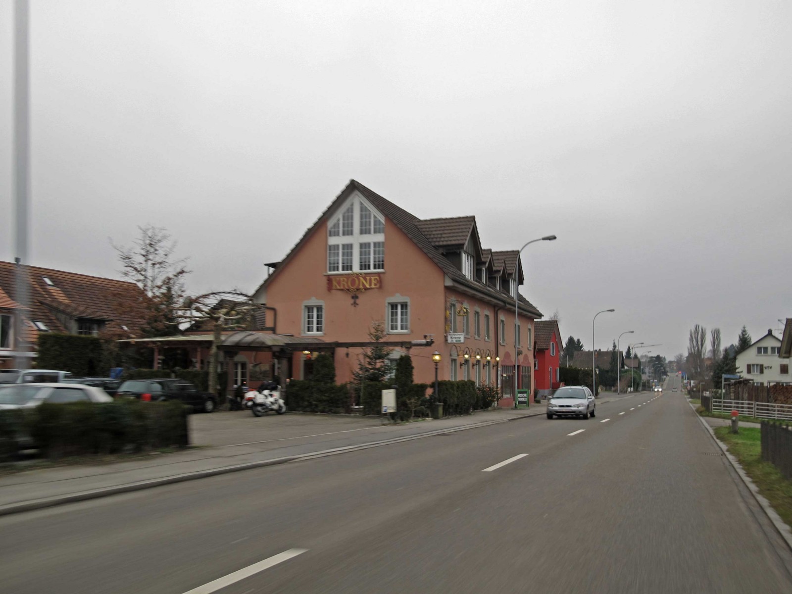
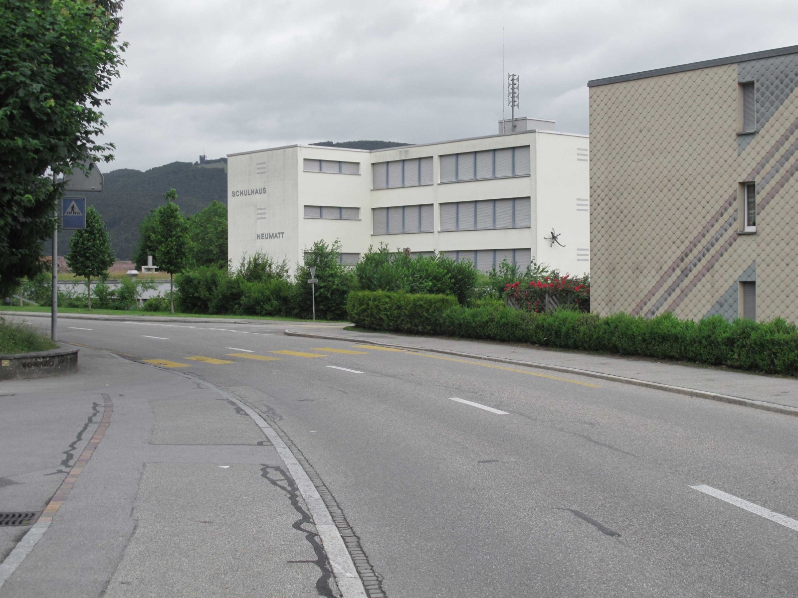
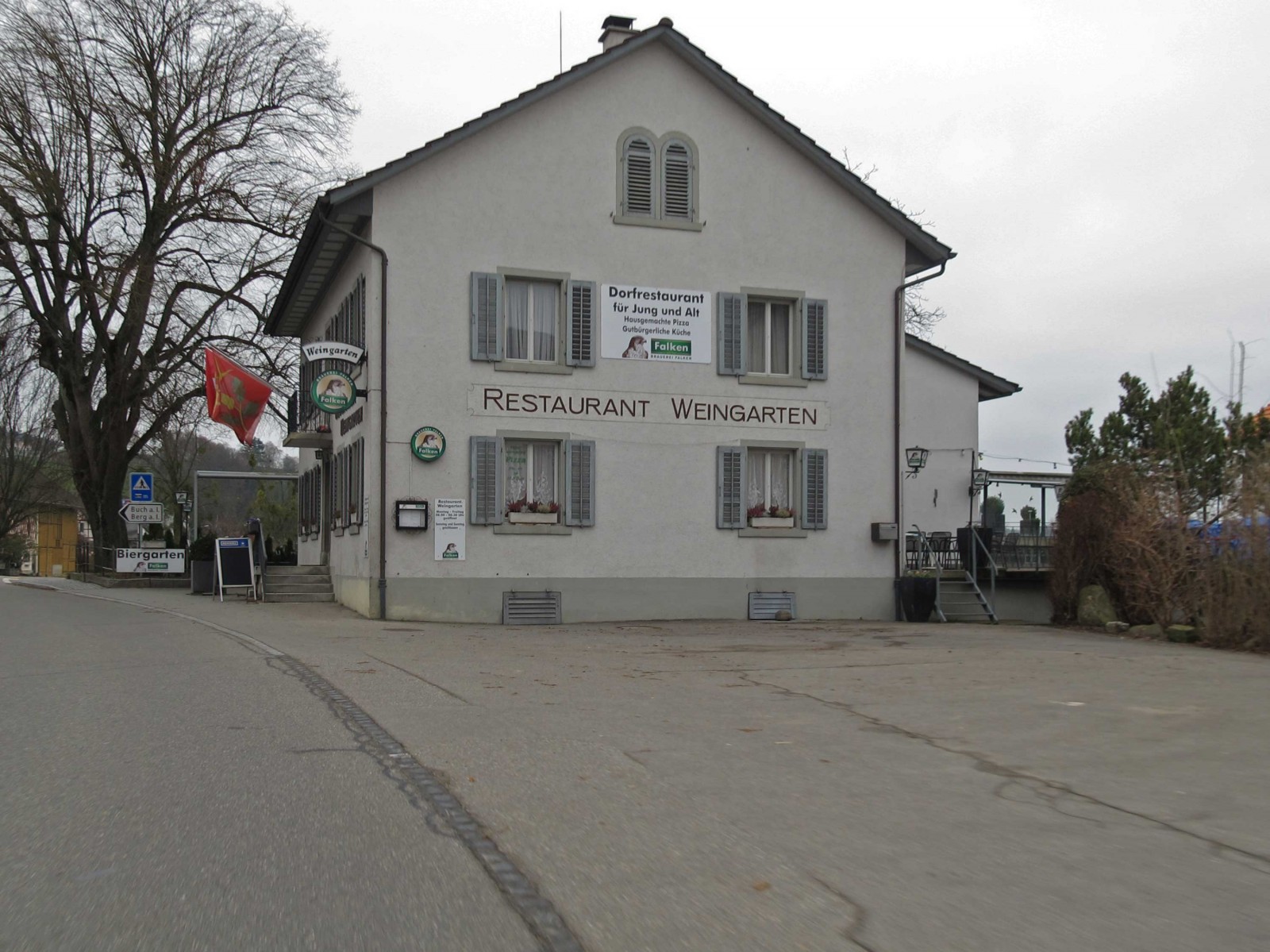
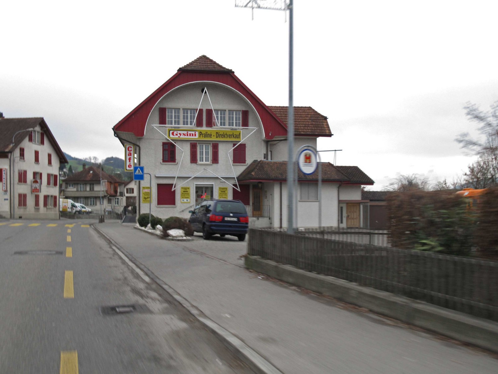
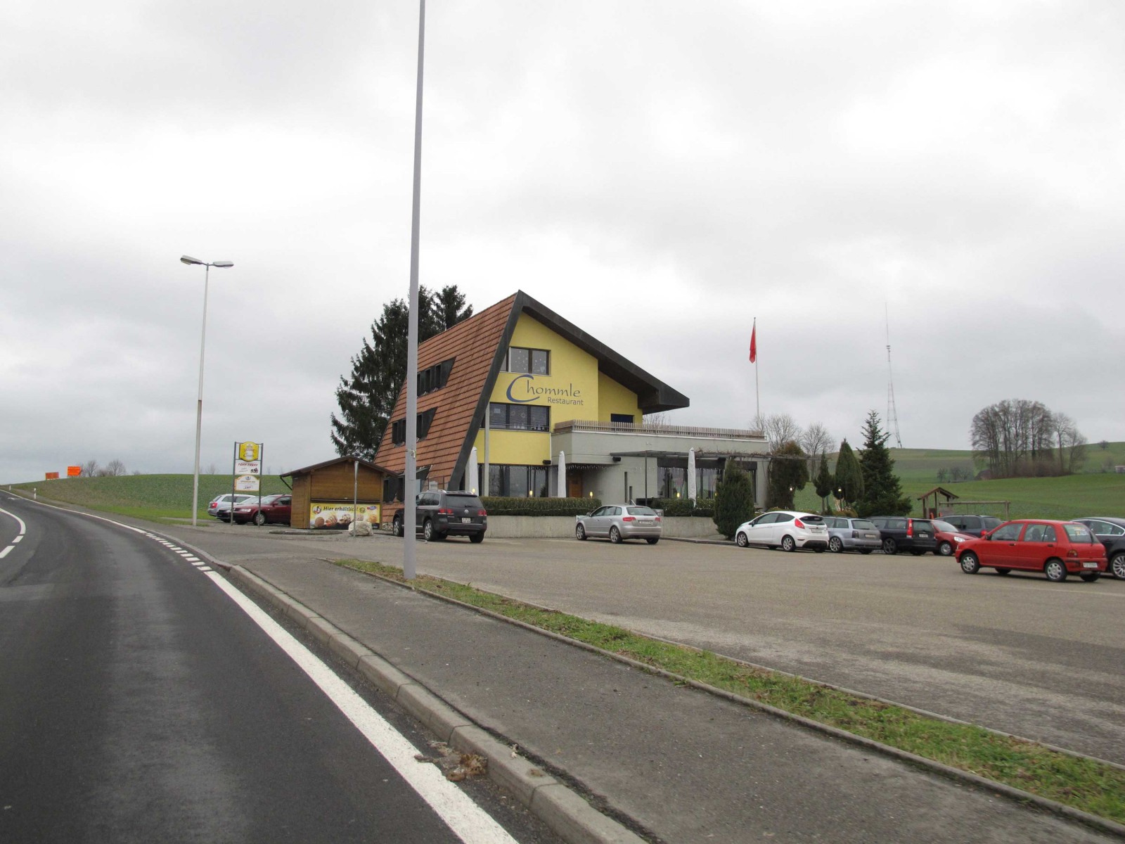
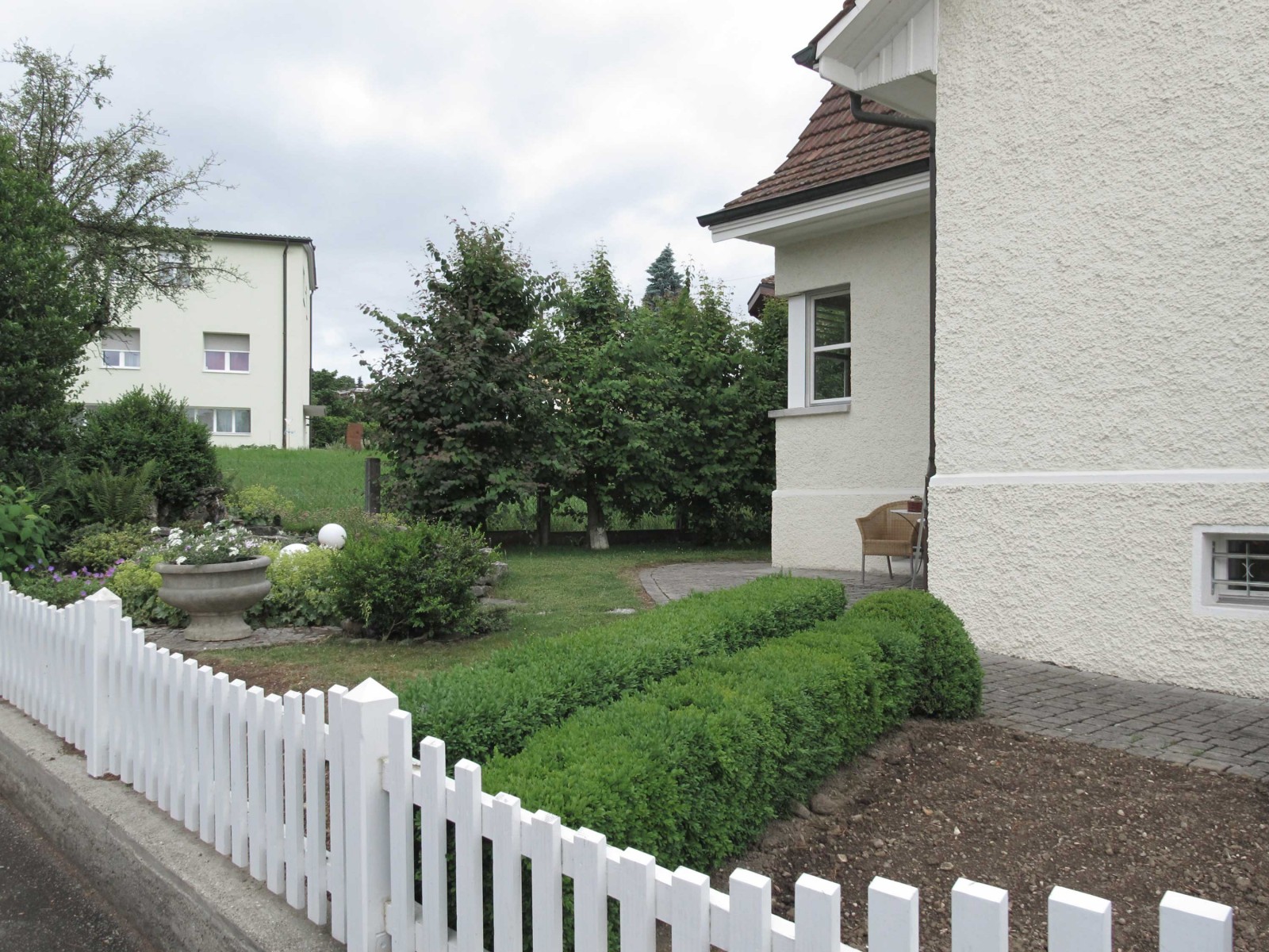
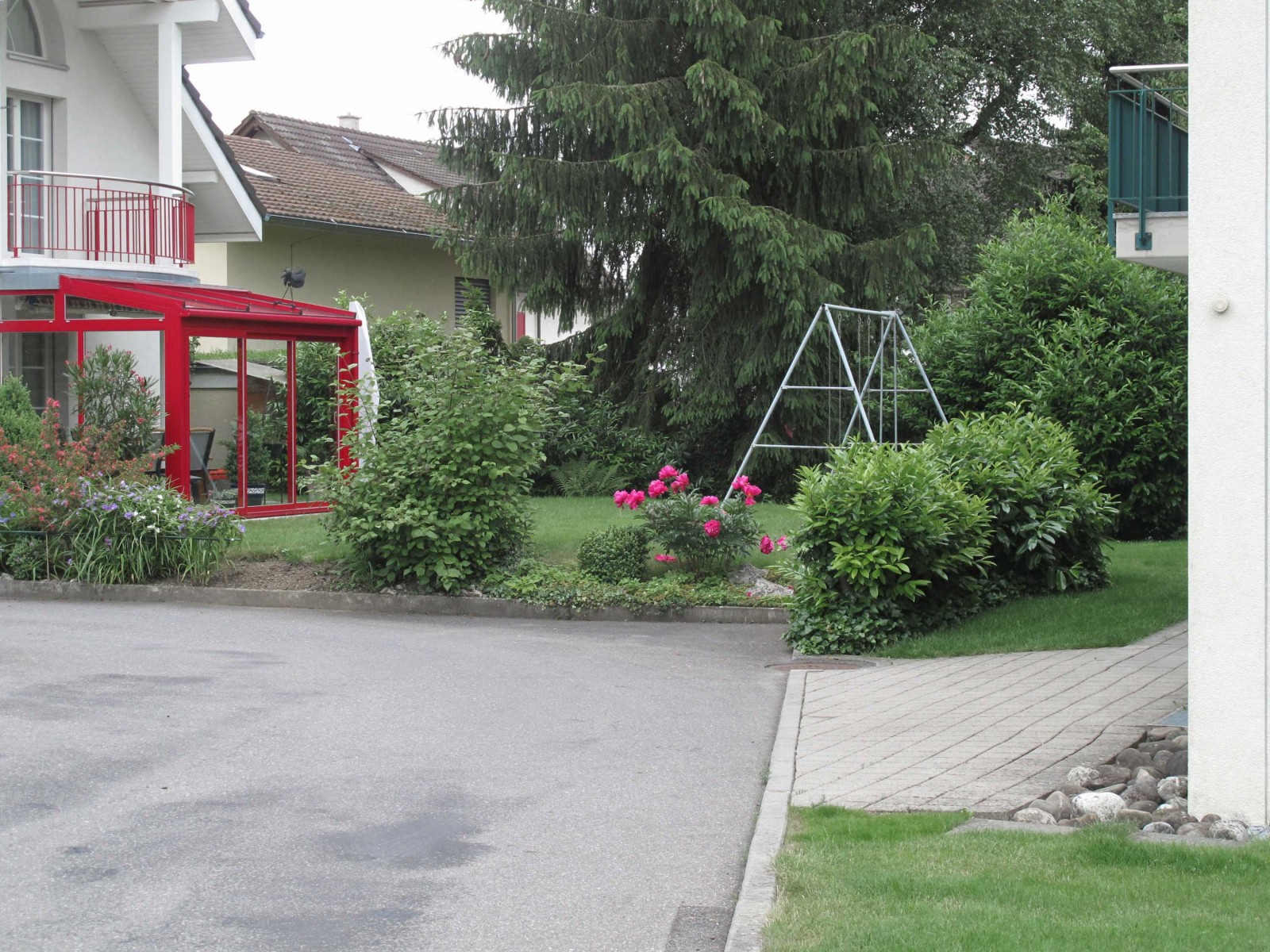
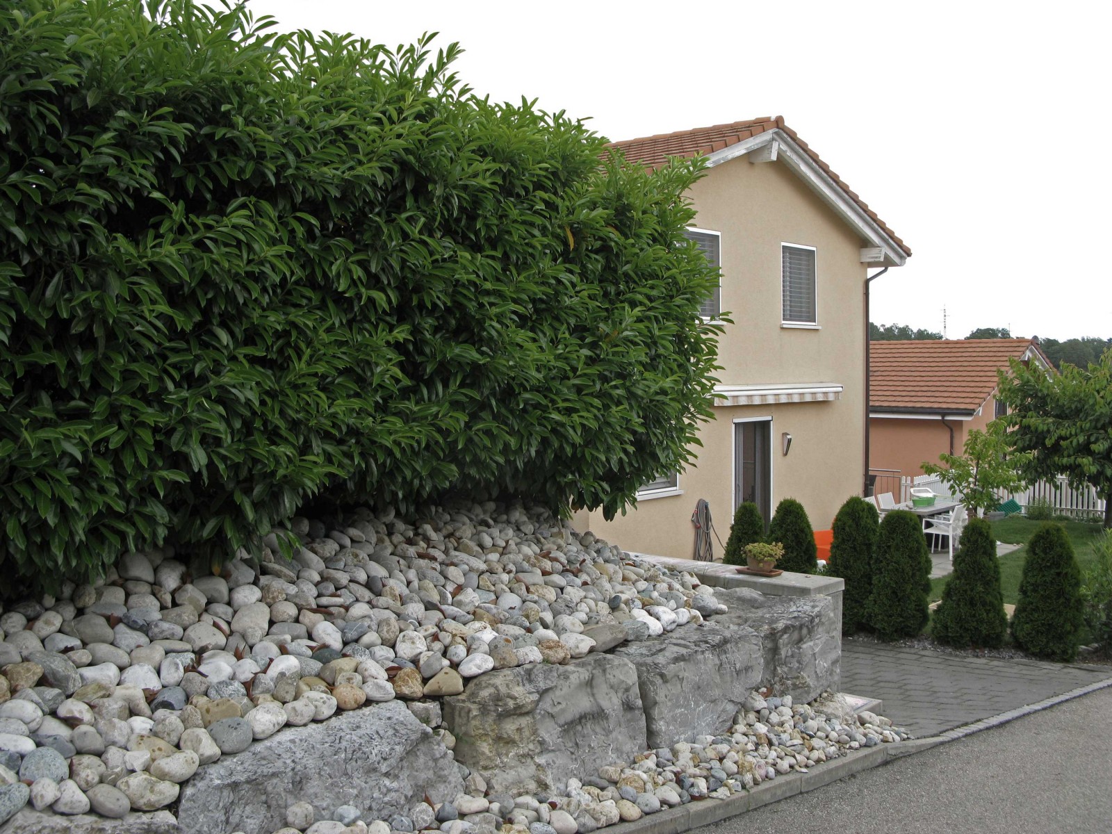
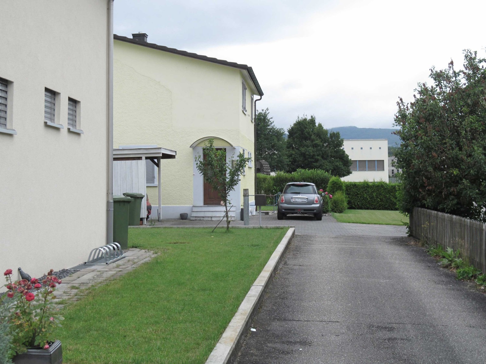
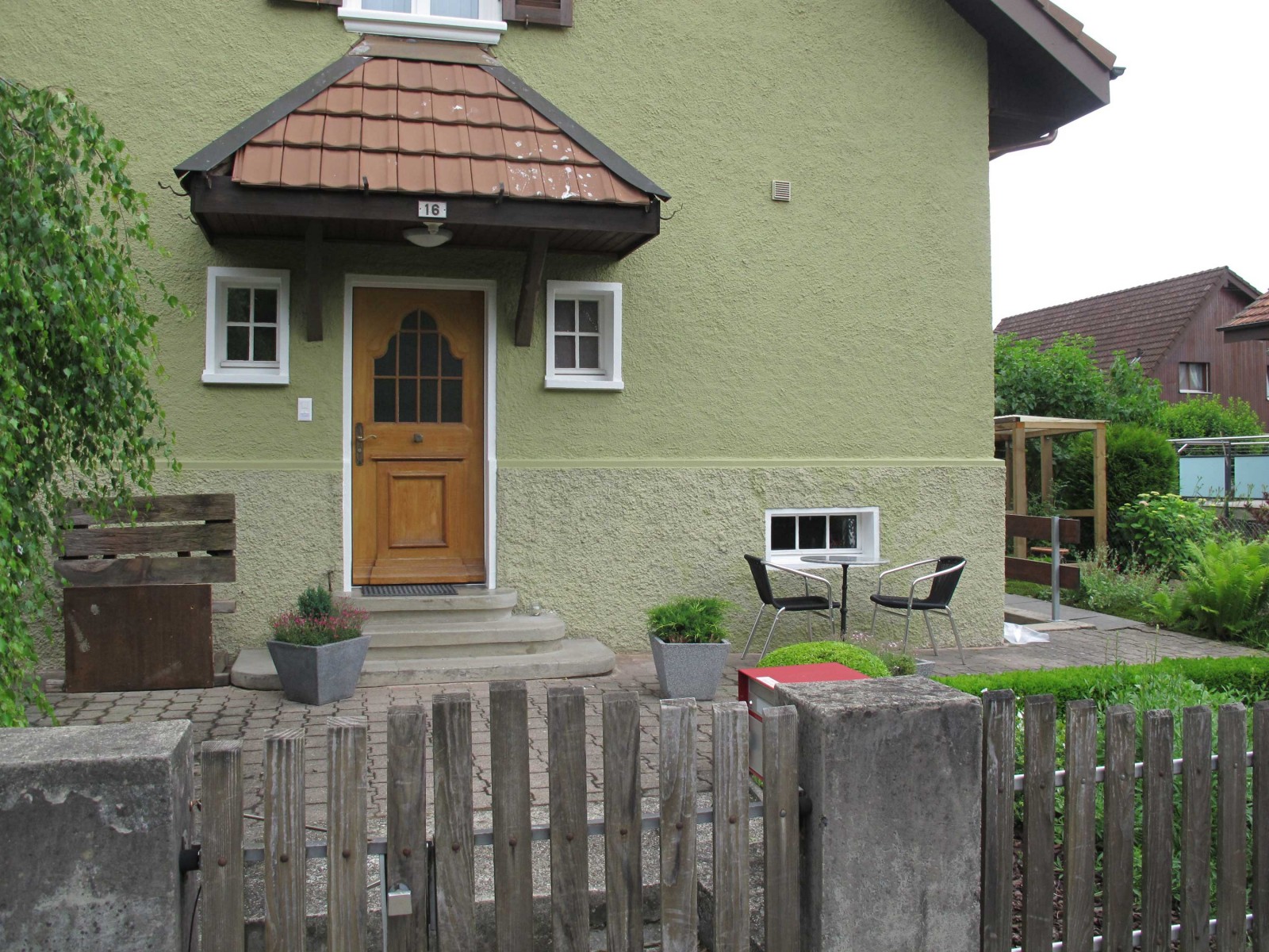
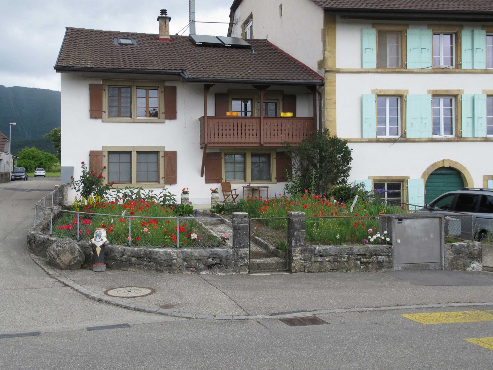
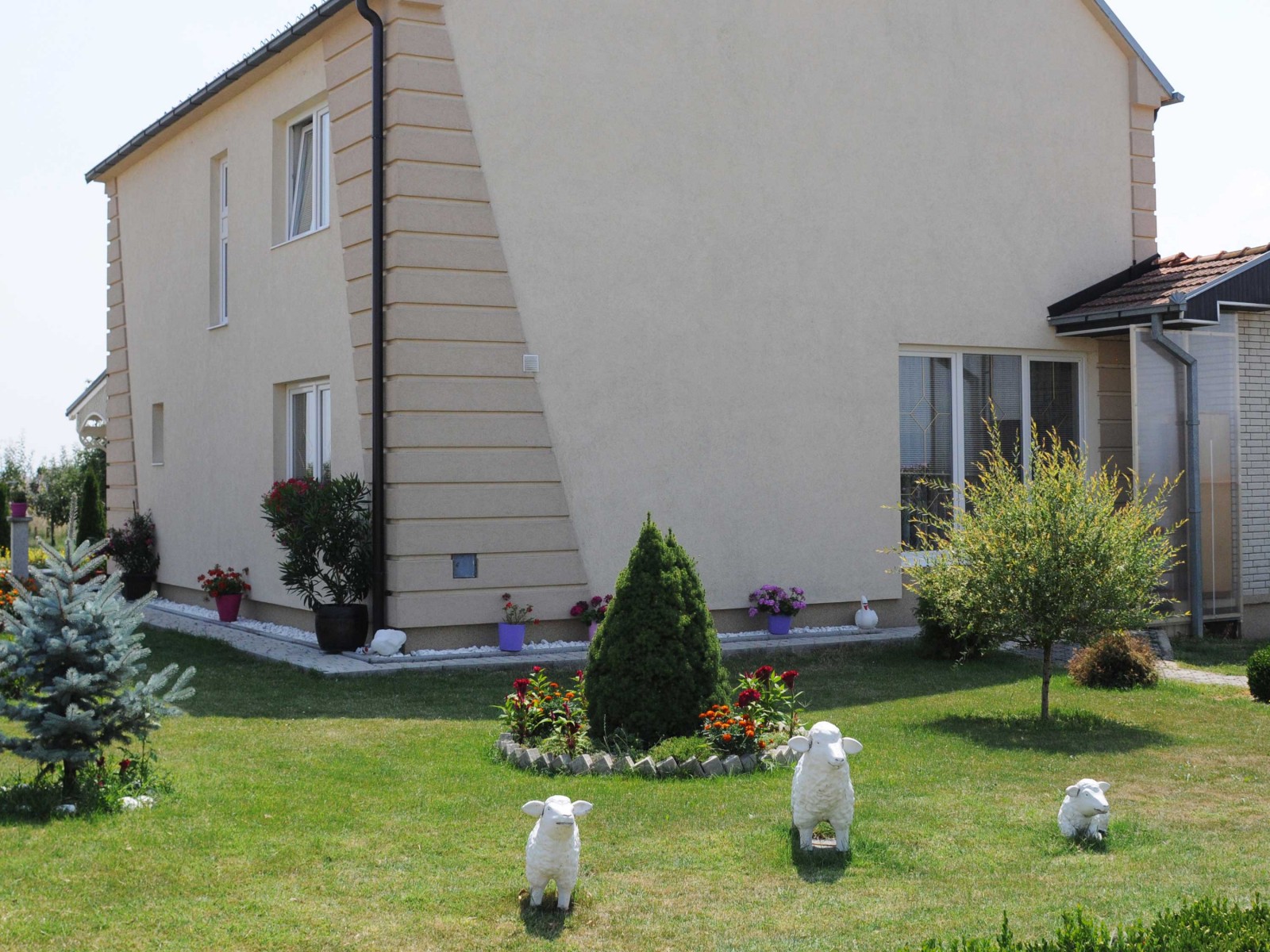
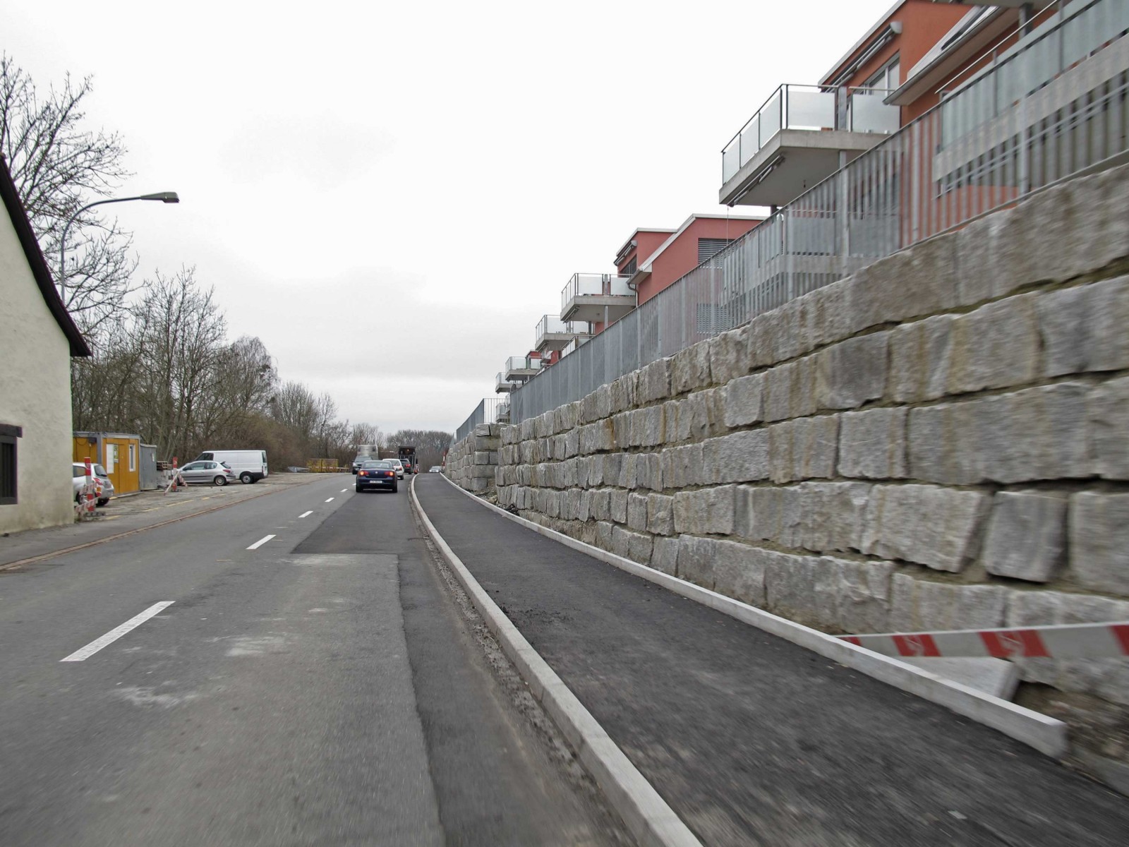
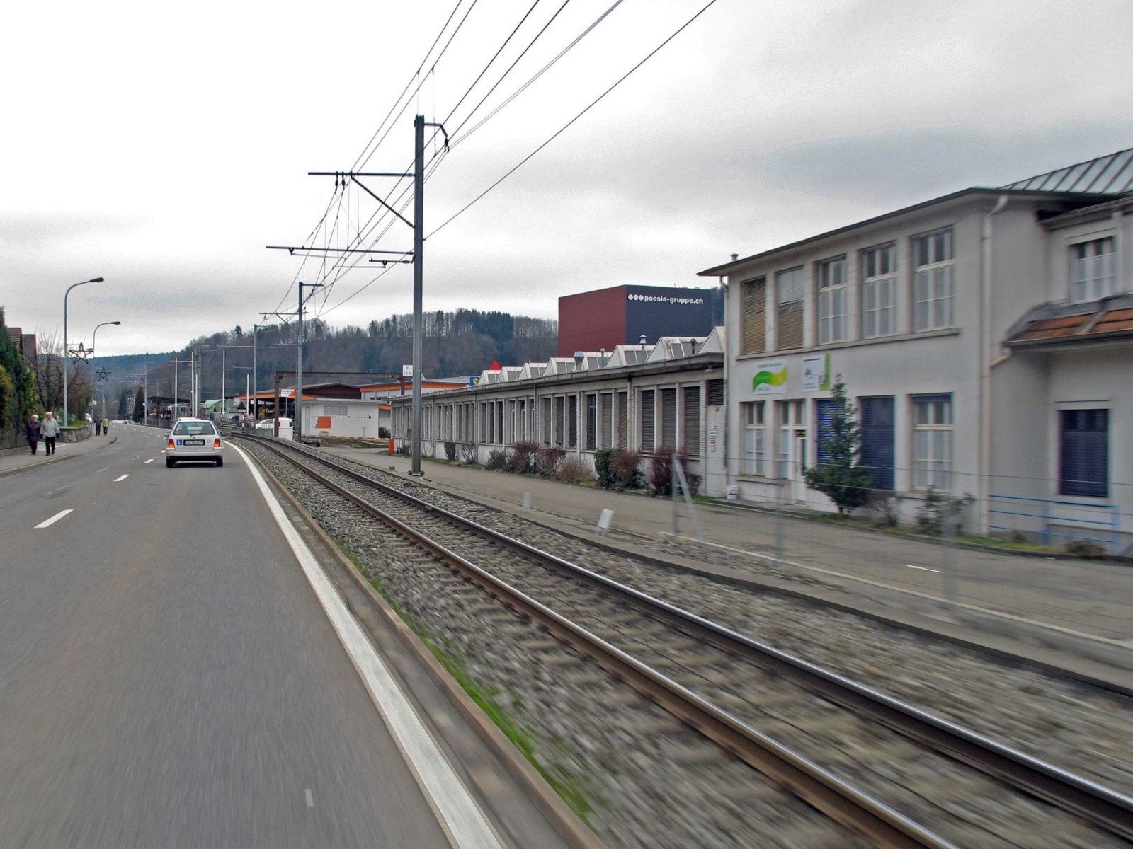
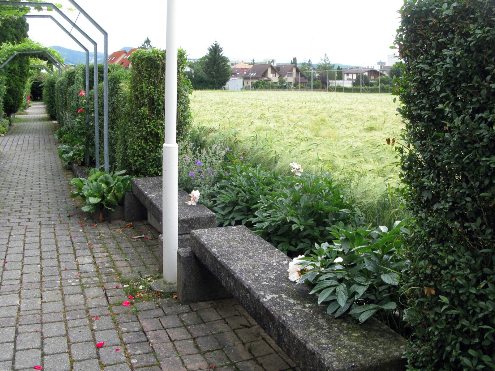
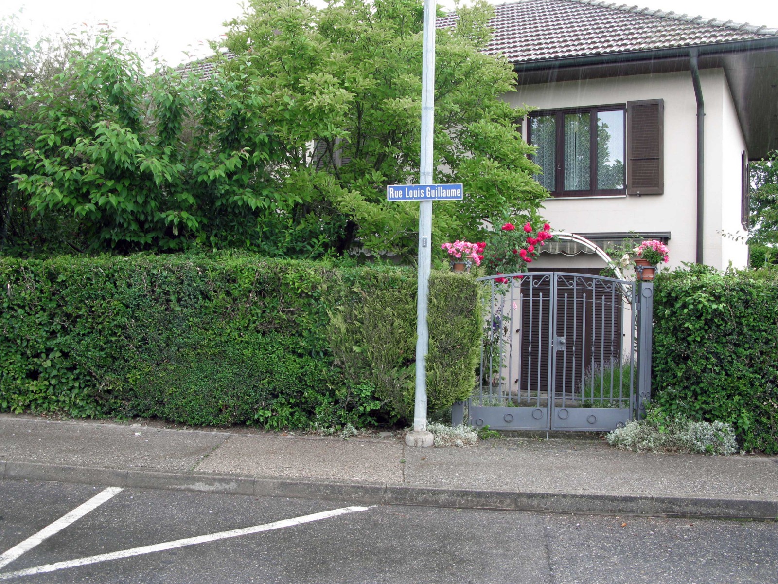
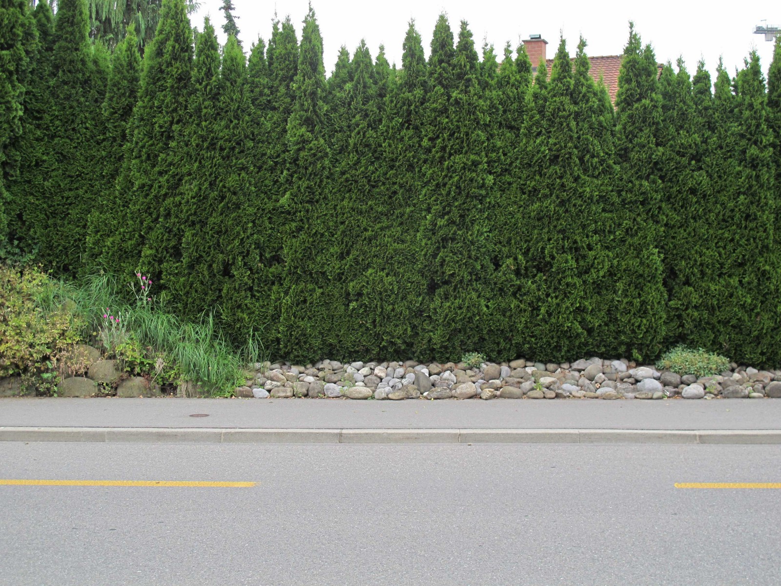
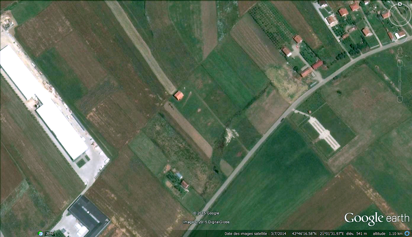
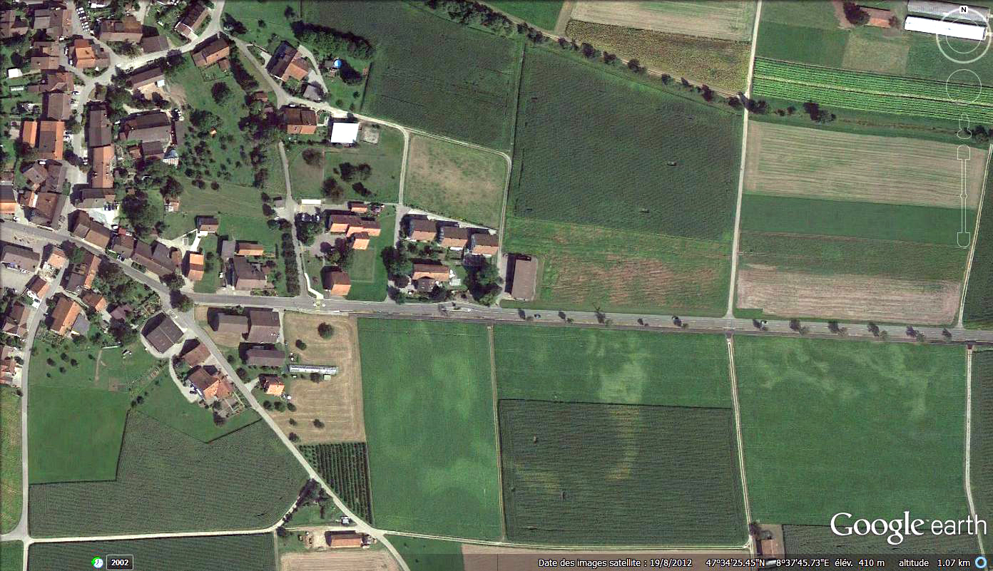
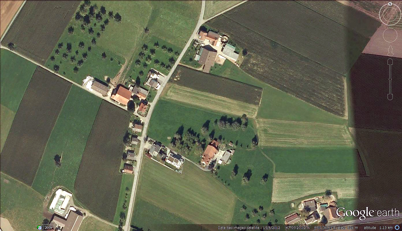
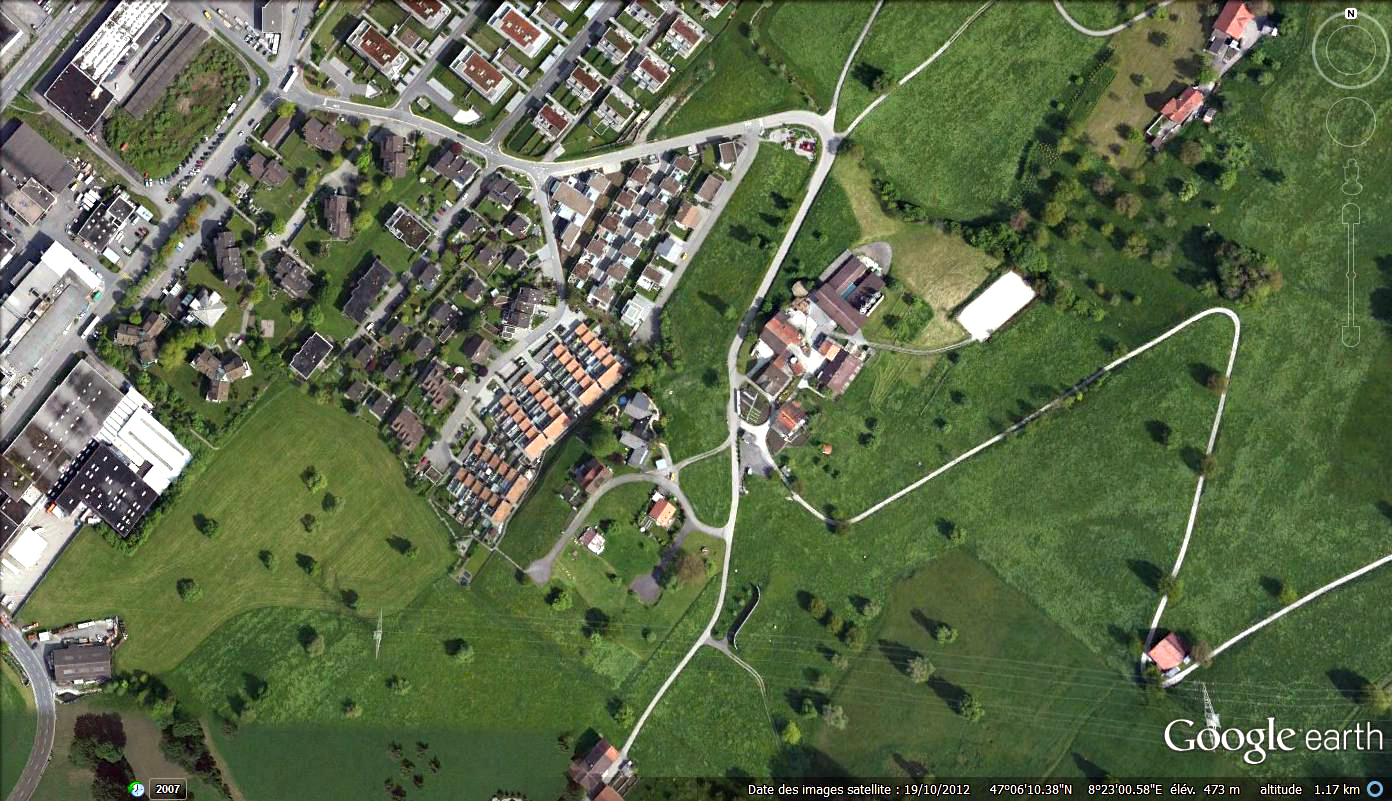
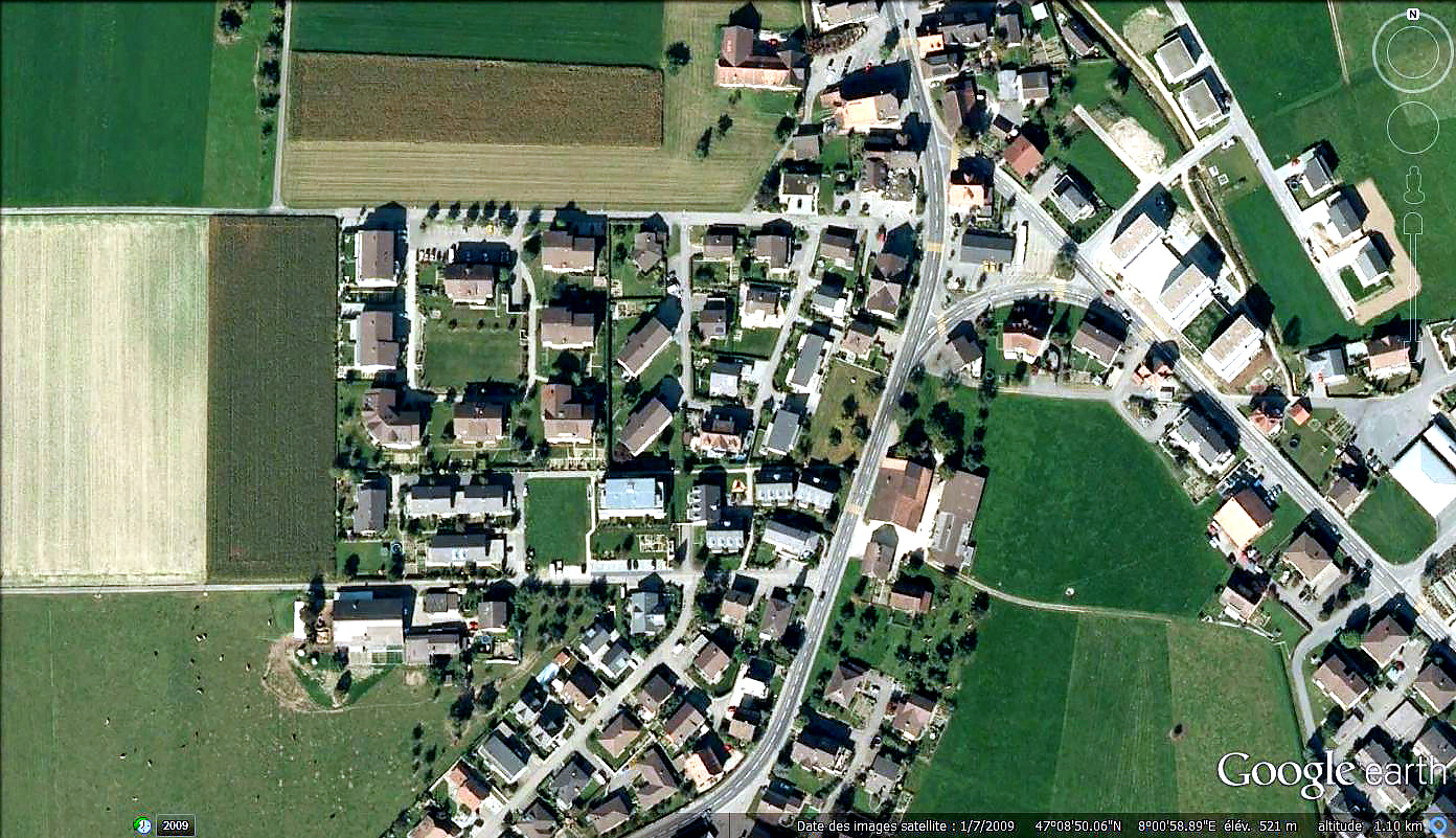
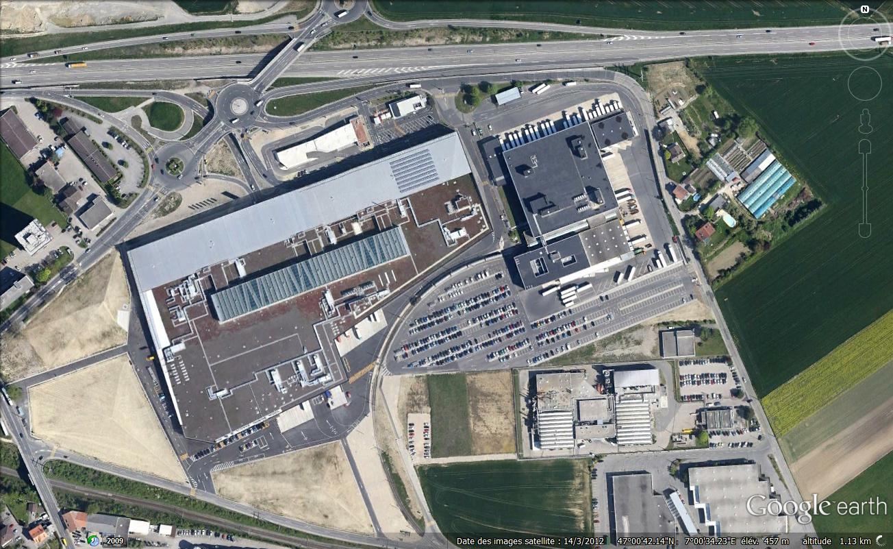
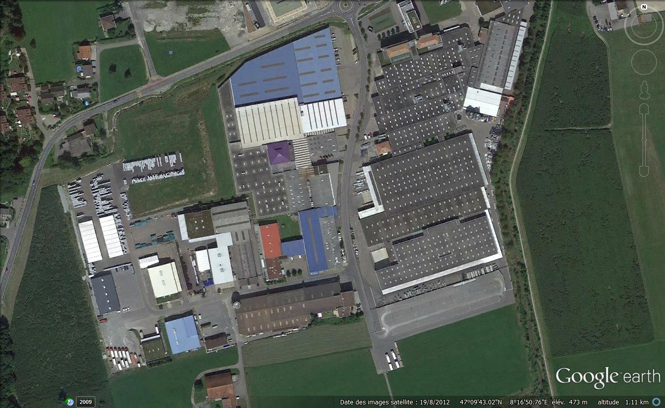
Switzerland is a rich and prosper country, situated in the hearth of Europe at the foot of the Alps. It has been a farm and agricultural country for ages and has know turned to be an urban country where it’s Midland is a continuous urbanization. Although this changes urban planning is lacking in it’s mission to create a legible and intelligible land.
MAPS


MAPS


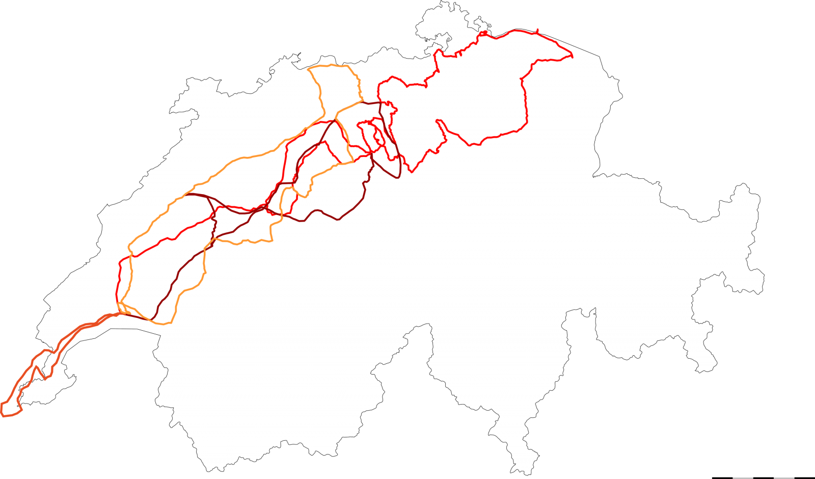
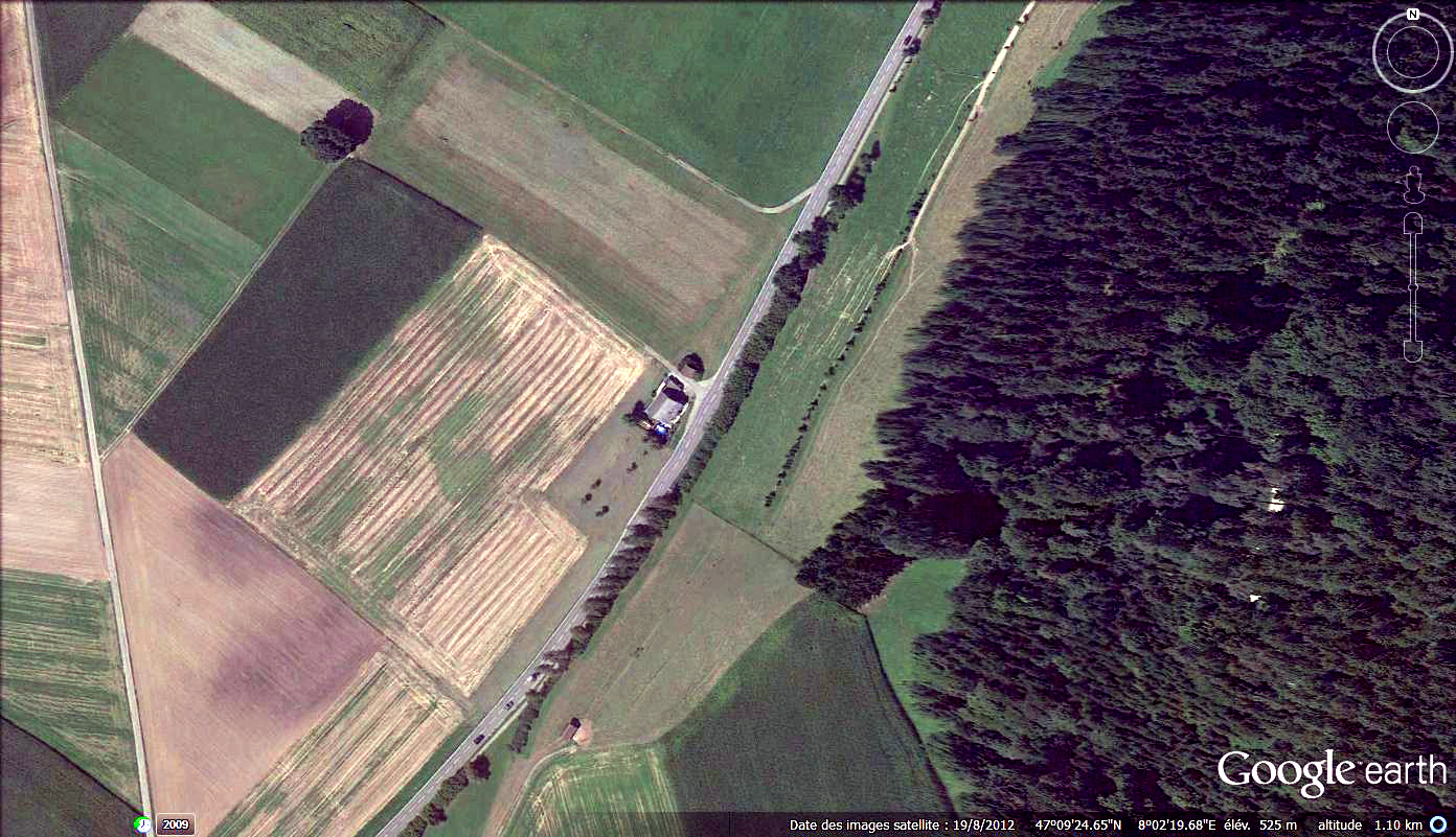
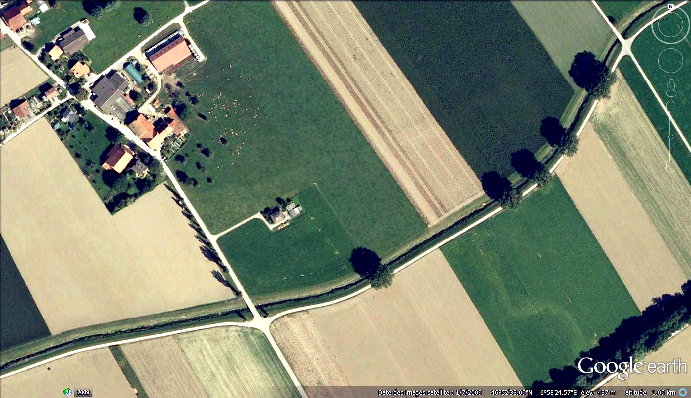
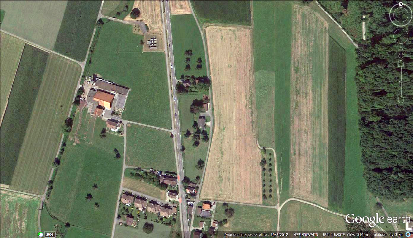
LANDSCAPE
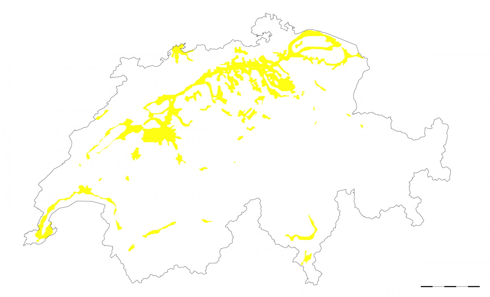
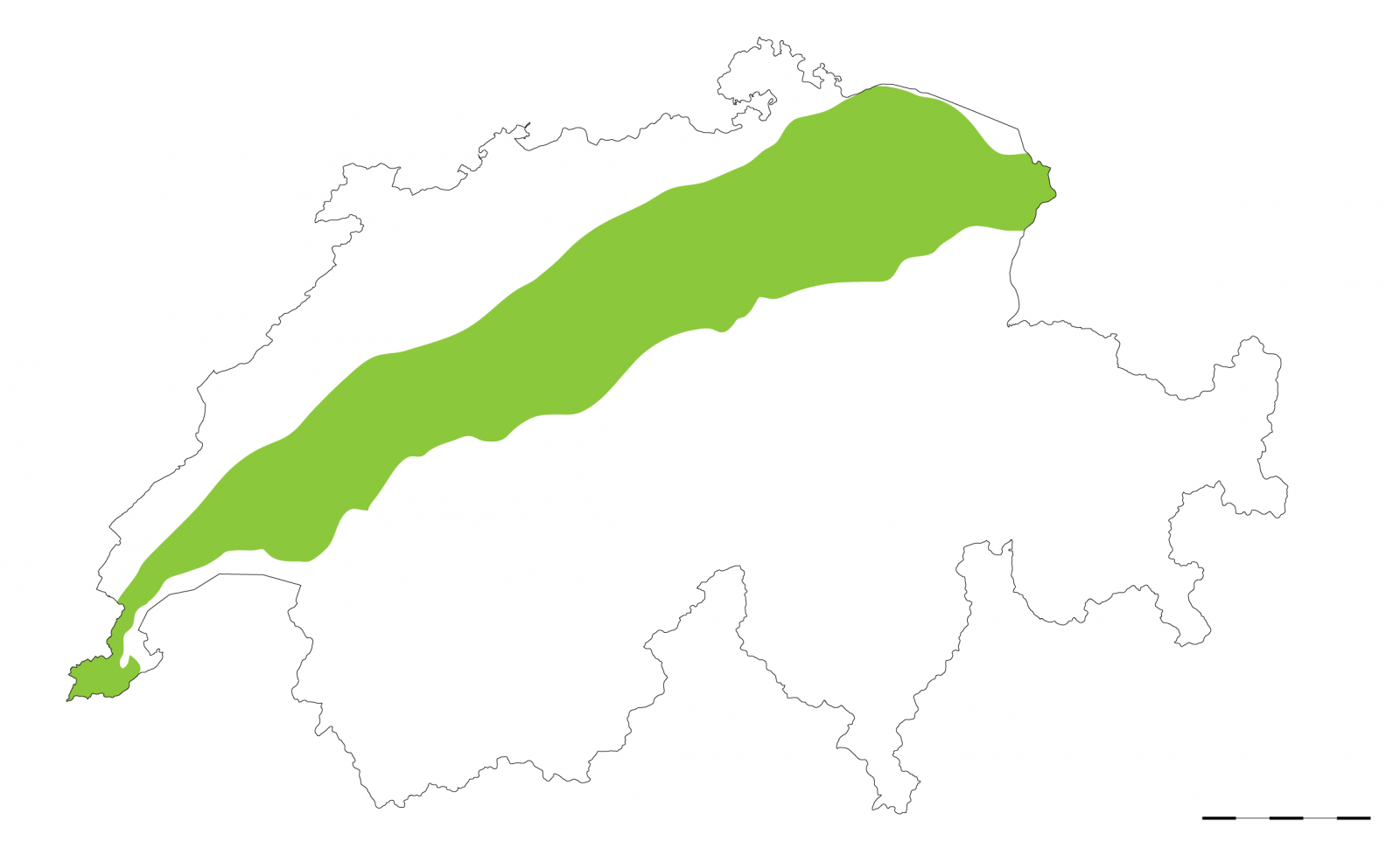
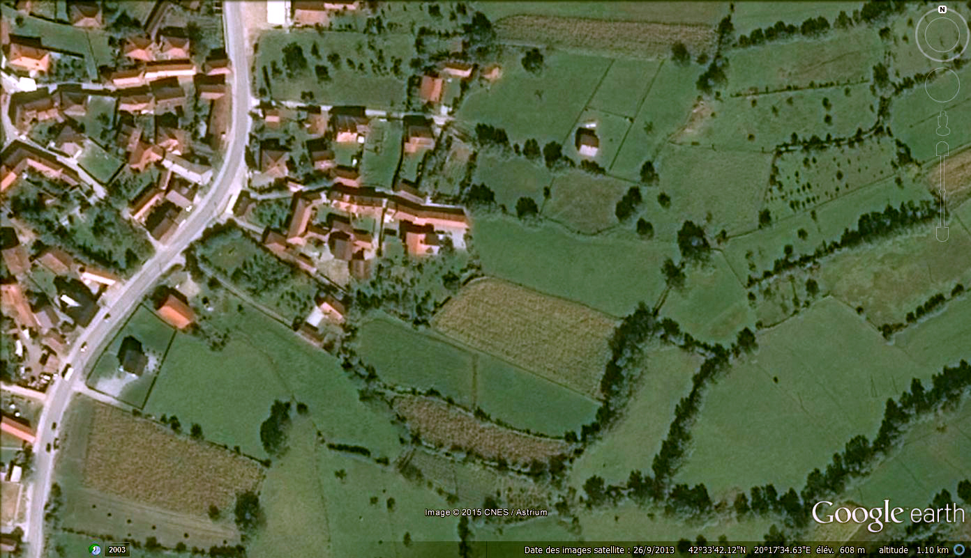
Swiss landscape is divided in three main regions, The Jura is a hilly and average altitude area, the plateau is the densest area and it is flat and slightly hilly. Agriculture and forest make it a very green zone where urbanization is more important every day. The third zone is the Alpine zone. This zone is of very low urbanization due to its topography.
Our research is focused on the plateau as it is the most built and sprawled zone. A wide range of vegetables and cereals are cultivated and stand next to small scale forest, giving an impression of a very green zone. This is of importance for the collective mental image of the country as it is perceived as an agricultural and green country and absolutely not as a built and infrastructured area.


Our research is focused on the plateau as it is the most built and sprawled zone. A wide range of vegetables and cereals are cultivated and stand next to small scale forest, giving an impression of a very green zone. This is of importance for the collective mental image of the country as it is perceived as an agricultural and green country and absolutely not as a built and infrastructured area.
LANDSCAPE
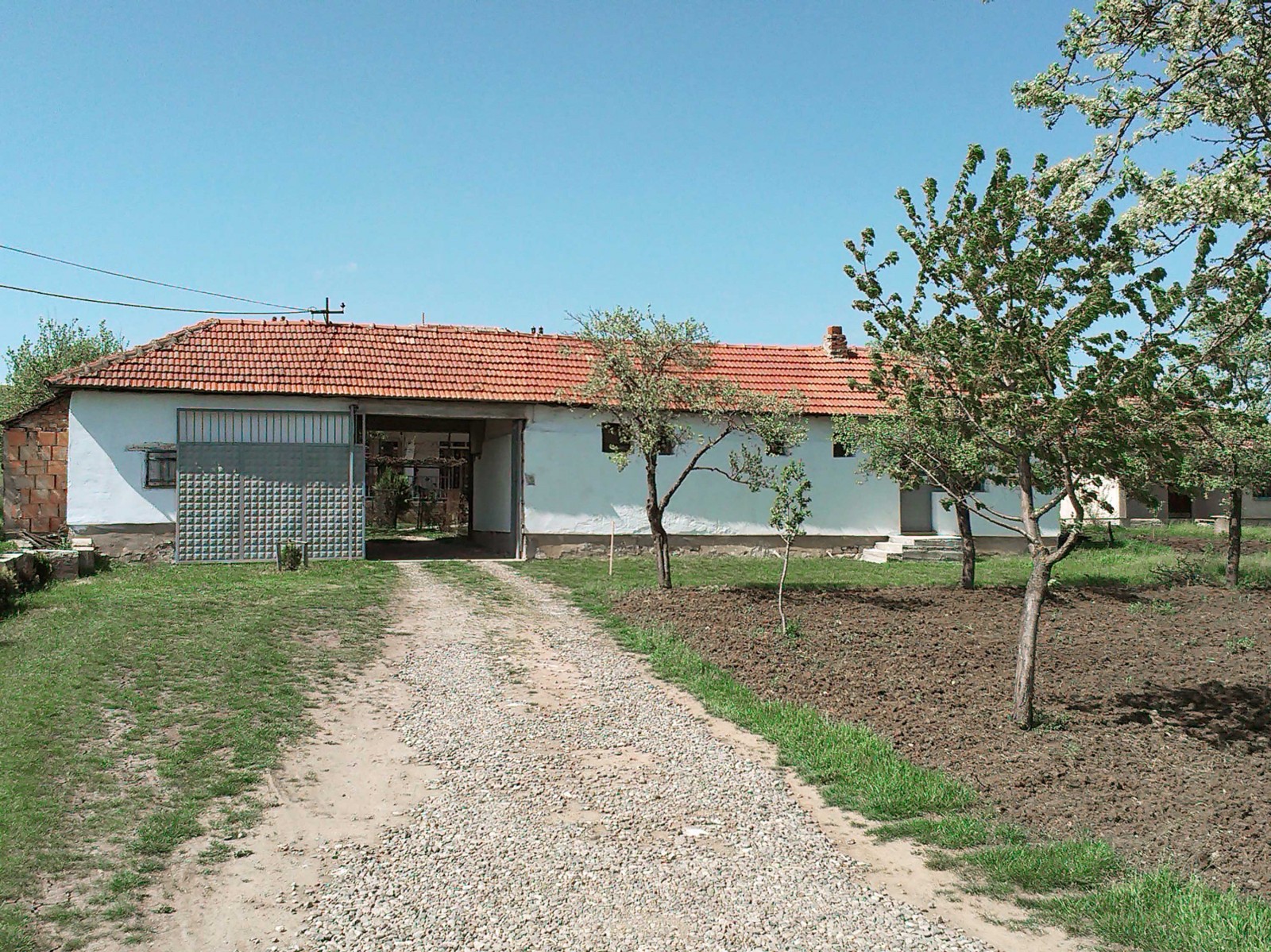
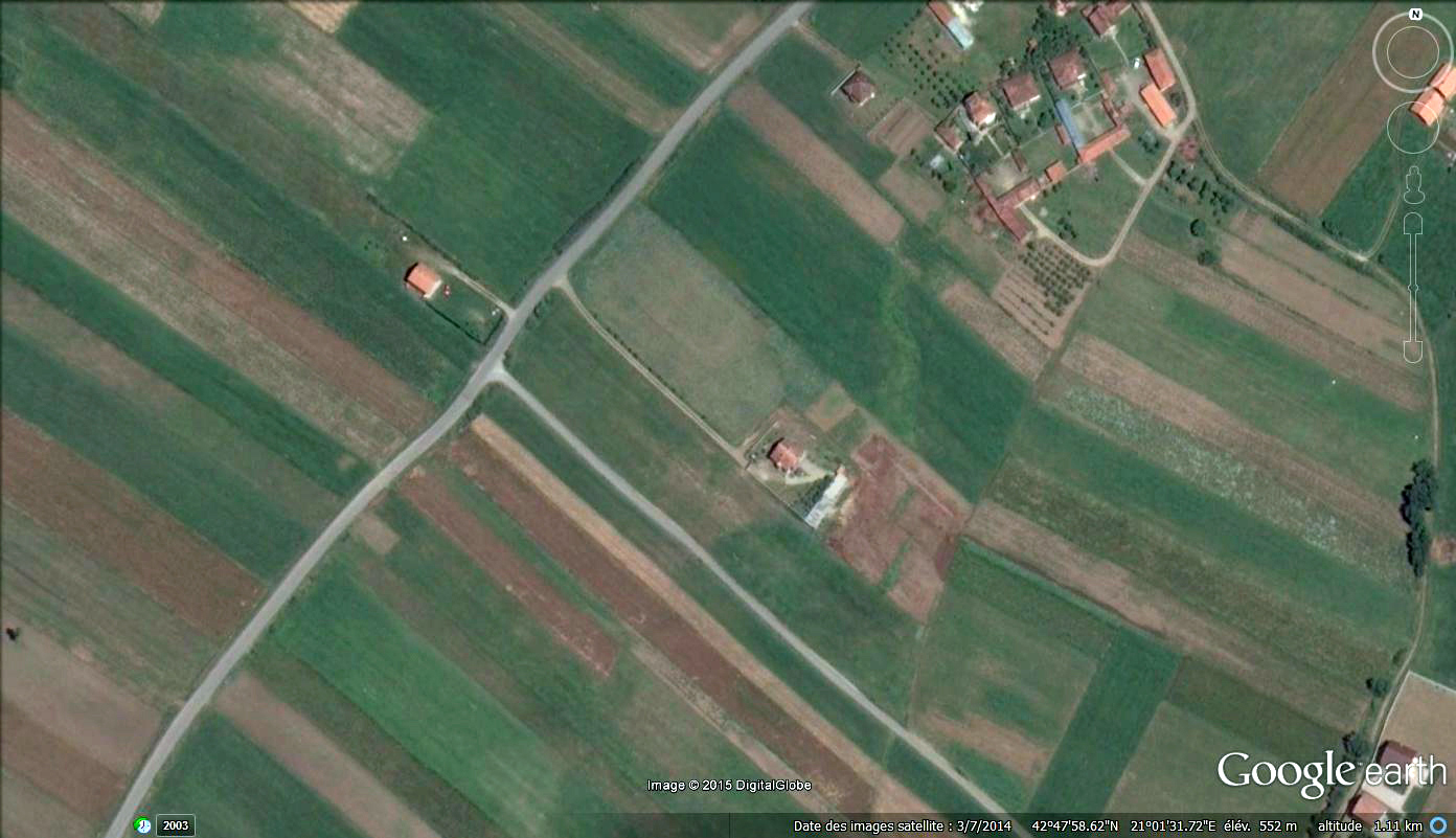
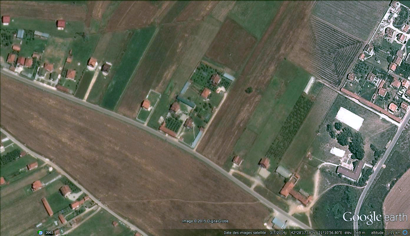
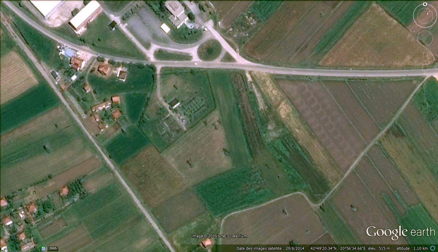
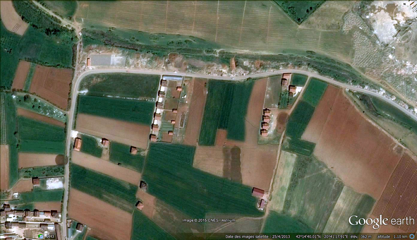
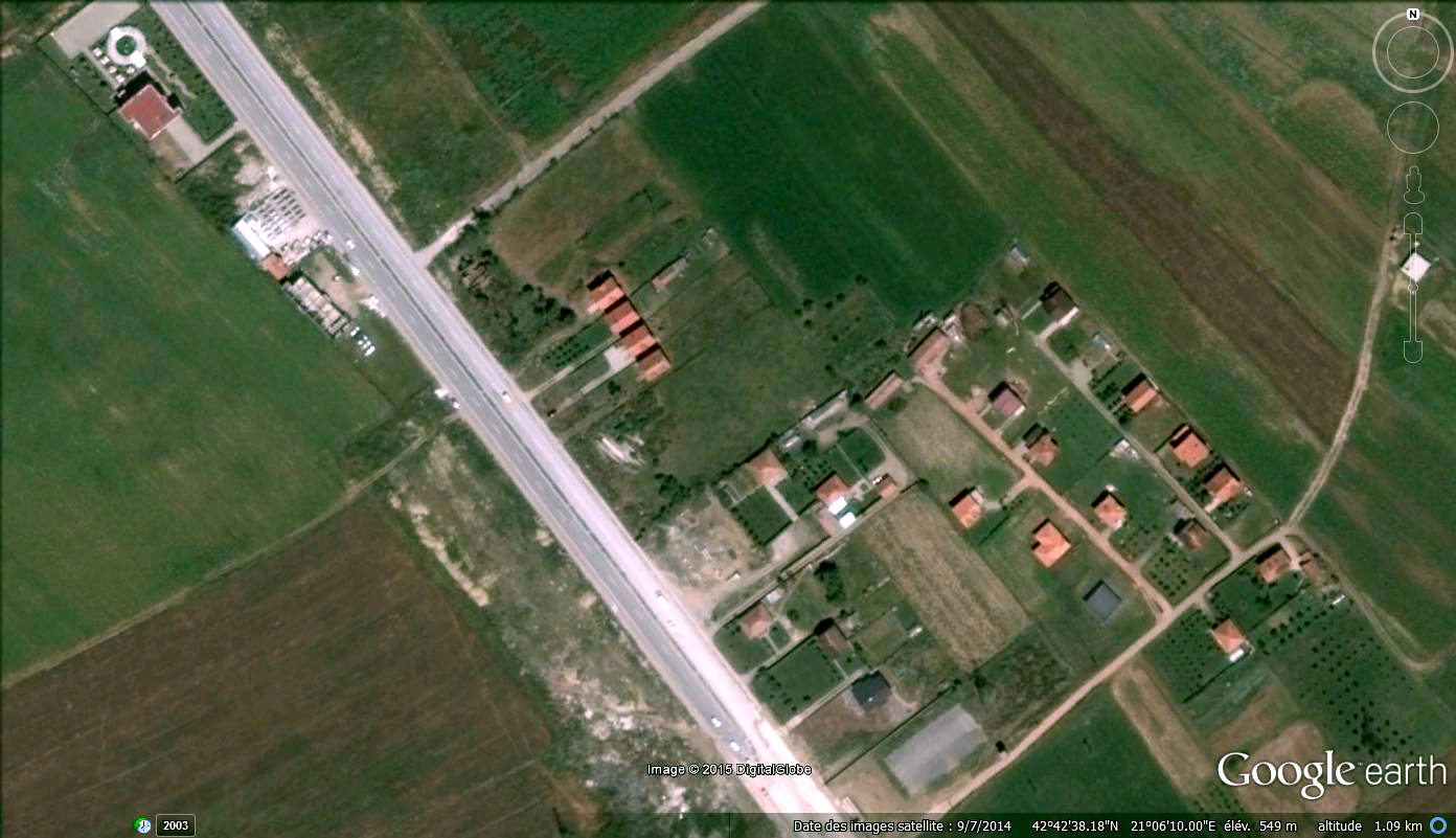
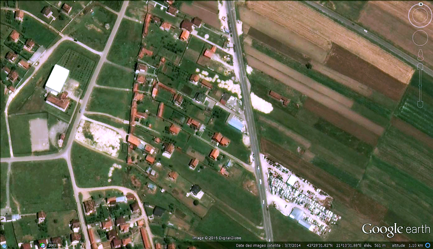
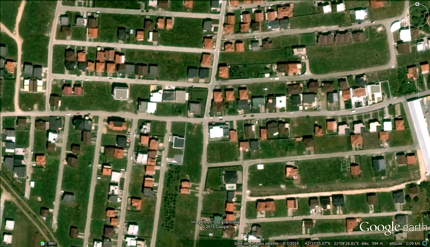
The country has the shape of a square set up on one of its angle. The borders are formed by natural limits like mountains on the south-east and hills on north-west. The country is composed of two main plateau, one green an hilly serving for agriculture that includes Prizren and Peja and one lower, flat an mainly commercial that includes Prishtina. At the center of the country is a small hill. Countryside is extremely fertile. Mainly Crops and wheat is cultivated. Average plots are of a very small scale, long of around 300m and wide of only an average of 25m.


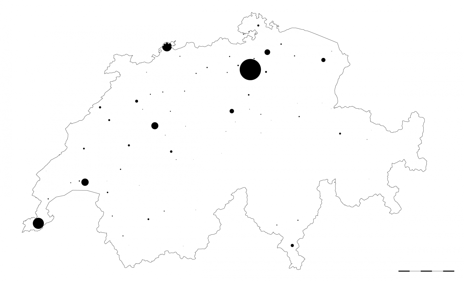
DENSITY


DENSITY


PUBLIC SPACE


PUBLIC SPACE


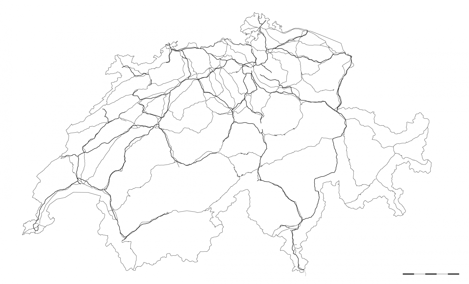
STREETS


STREETS


THRESHOLD


THRESHOLD


BUILDING LINE


BUILDING LINE


PUBLIC BUILDINGS


PUBLIC BUILDINGS


PRIVATE SPACE


PRIVATE SPACE


LIMITS


LIMITS


TYPES


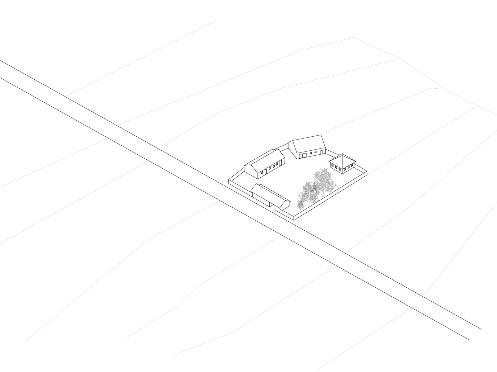


TYPES


DATAS
POPULATION 2010: 7’758’000
POPULATION 1990: 6’712’000
POPULATION 1970: 6’181’000
POPULATION 1950: 4’694’000
AVERAGE INCOME
UNEMPLOYMENT RATE 2.8% (2011 est.)
AVERAGE AGE 42 years
0-14 years: 15.2% (male 621,785/ female 586,205)
15-64 years: 67.6% (male 2,696,392/ female 2,665,191)
65 years and over: 17.1% (male 584,809/ female 771,135) (2012 est.)
AVERAGE SQM/HABITANTS
AVERAGE TIME TRAVEL TO WORK
URBANIZATION
urban population: 74% of total population (2010)
rate of urbanization: 0.5% annual rate of change (2010-15 est.)
NET IMMIGRATION RATE 1.27 migrant(s)/1,000 population (2012 est.)
EMIGRANTS
GDP PER CAPITA $44,500 (2011 est.)
agriculture (1.2%)
industry (27.5%)
services (71.3%)
DATAS
POPULATION 2010: 2’190’000
POPULATION 1990: 1’930’000
POPULATION 1970: 1’220’000
POPULATION 1950: 764’000
AVERAGE INCOME
UNEMPLOYMENT RATE 45.3% (2011 est.)
AVERAGE AGE 27.1 years
0-14 years: 26.9% (male 256,700/ female 236,975)
15-64 years: 66.3% (male 636,804/ female 581,729)
65 years and over: 6.8% (male 52,357/ female 71,964) (2012 est.)
AVERAGE SQM/HABITANTS
AVERAGE TIME TRAVEL TO WORK
URBANIZATION
NET IMMIGRATION RATE –
EMIGRANTS
GDP PER CAPITA $6,500 (2011 est.)
agriculture: 12.9%
industry: 22.6%
services: 64.5%